Geoflip - Making GIS Accessible
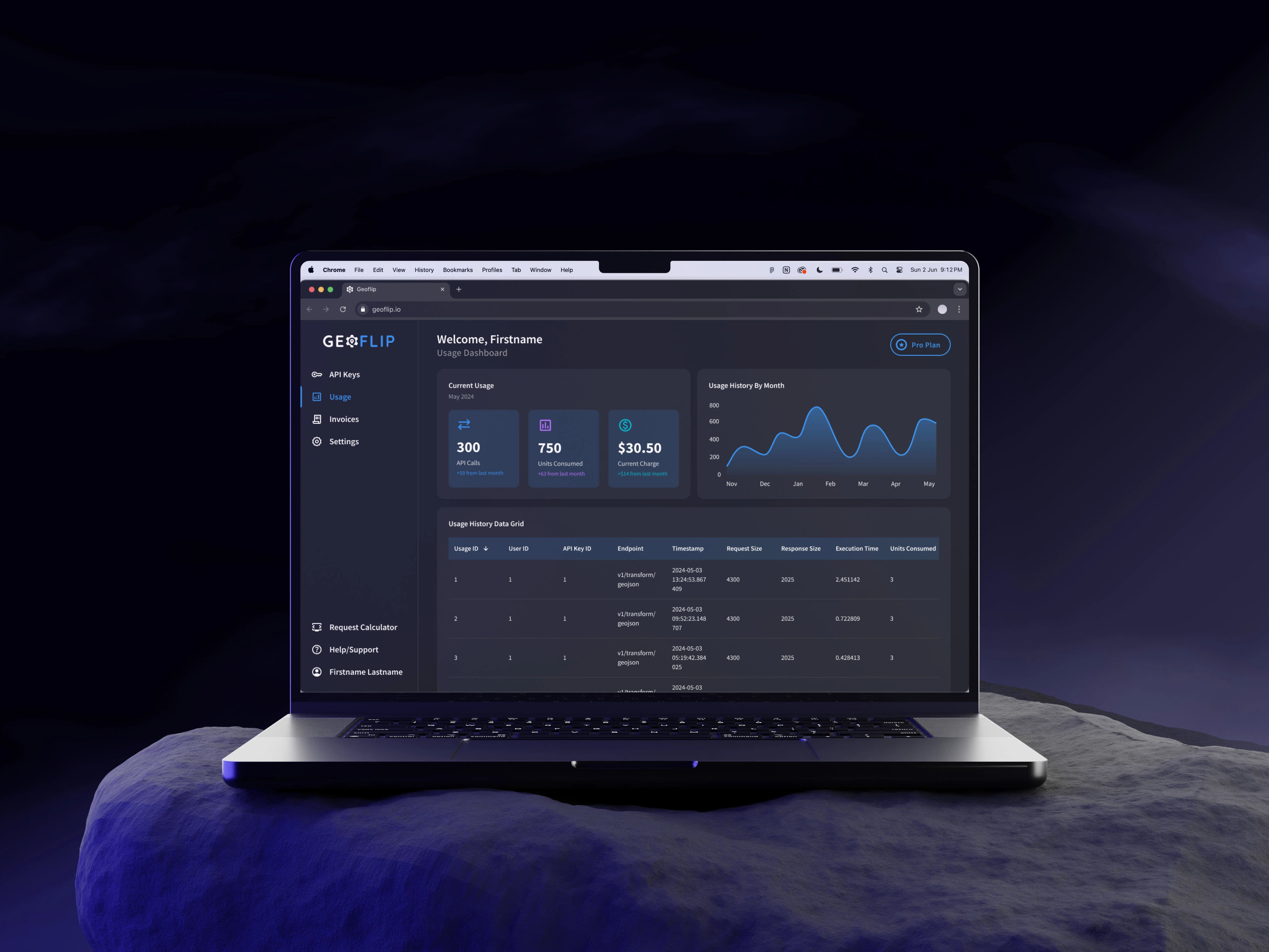
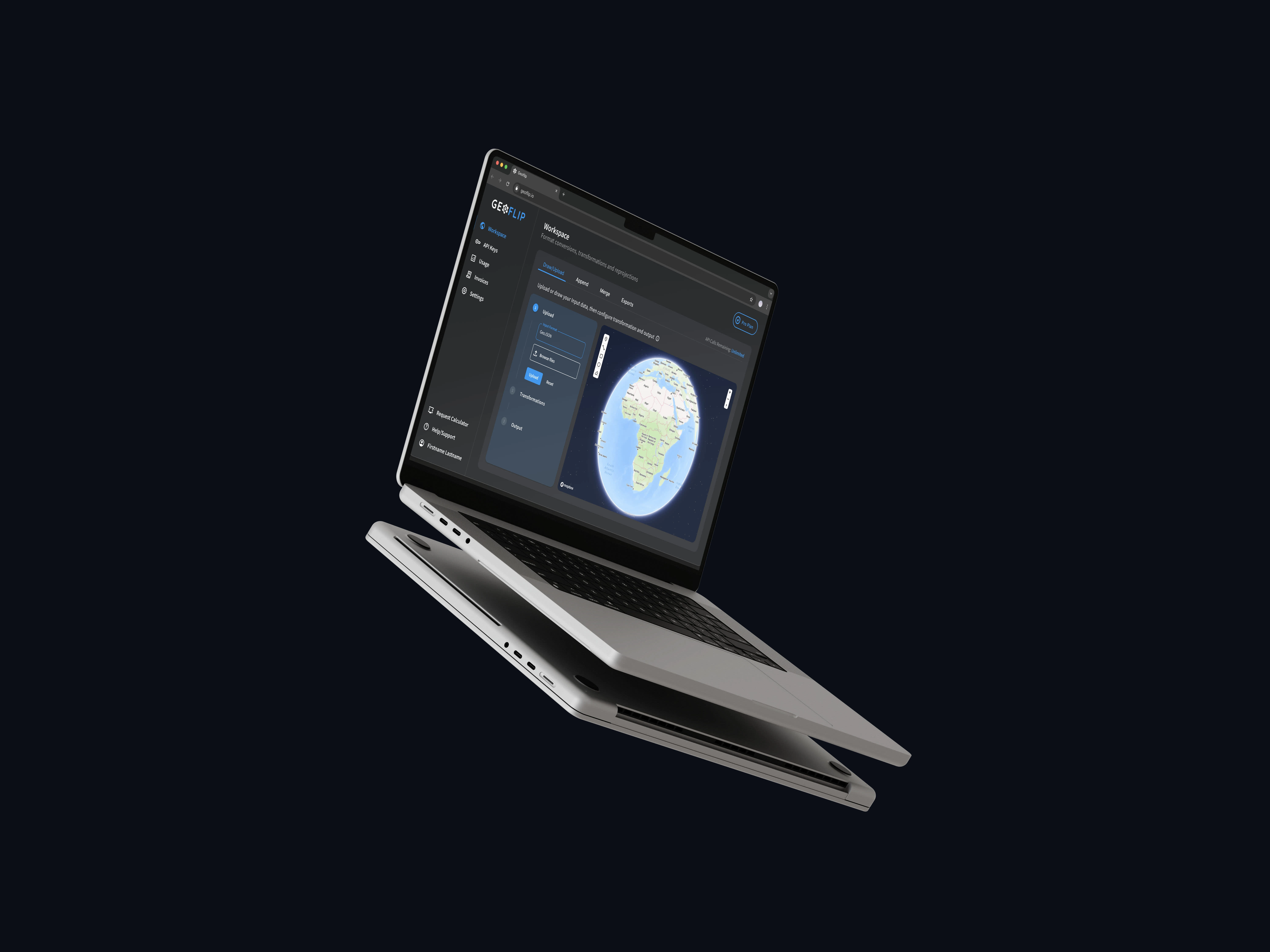
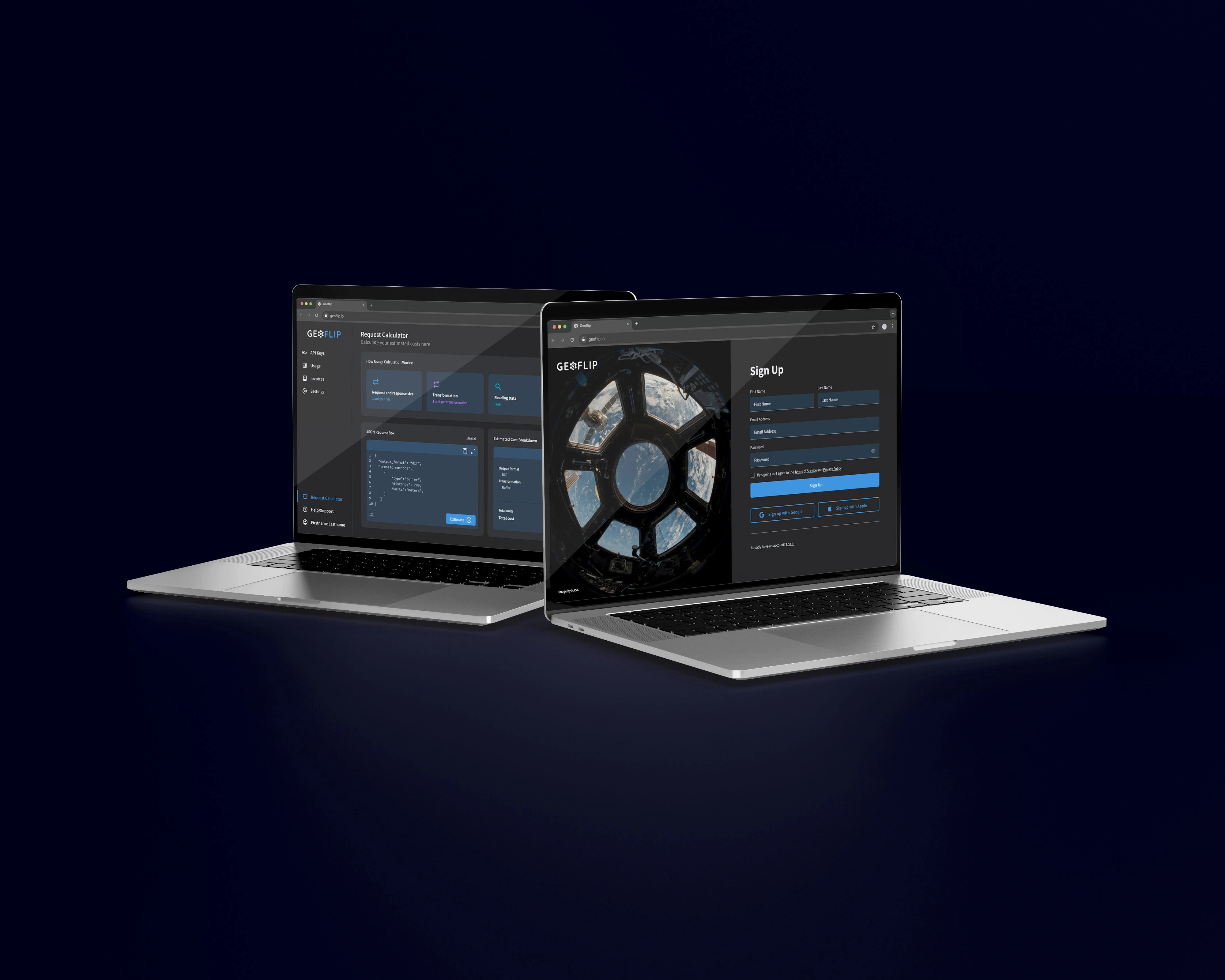
Geoflip is a GIS Software as a Service (SaaS) that allows users to seamlessly transform spatial data without the overheads of expensive GIS software.

The software simplifies geoprocessing tasks - simply send a request to the API and instantly add these capabilities to your application.
Through weekly collaboration with Nick (Geoflip founder), I was tasked with the challenge of building the interface and a brand logo from scratch. With a modern look in mind, I wanted to design the screens in a way that even first-time users could easily understand - keeping it simple and digestible for a seamless user experience.


“Aly delivered a minimalistic, efficient design that perfectly adhered to my requirements. Her work balanced stunning visual language with developer-friendly UI components, streamlining project delivery. Aly’s design beautifully communicated complex pricing and usage structures to our users with a visual language that made it easy to understand with a single look.”
— Nicholas Chai, Geoflip Founder
Like this project
Posted Sep 30, 2024
Geoflip is a GIS Software as a Service (SaaS) that allows users to seamlessly transform spatial data without the overheads of expensive GIS software.


