GIS Surface Mapping for Fiber Route Planning

Firdaous Oumzil

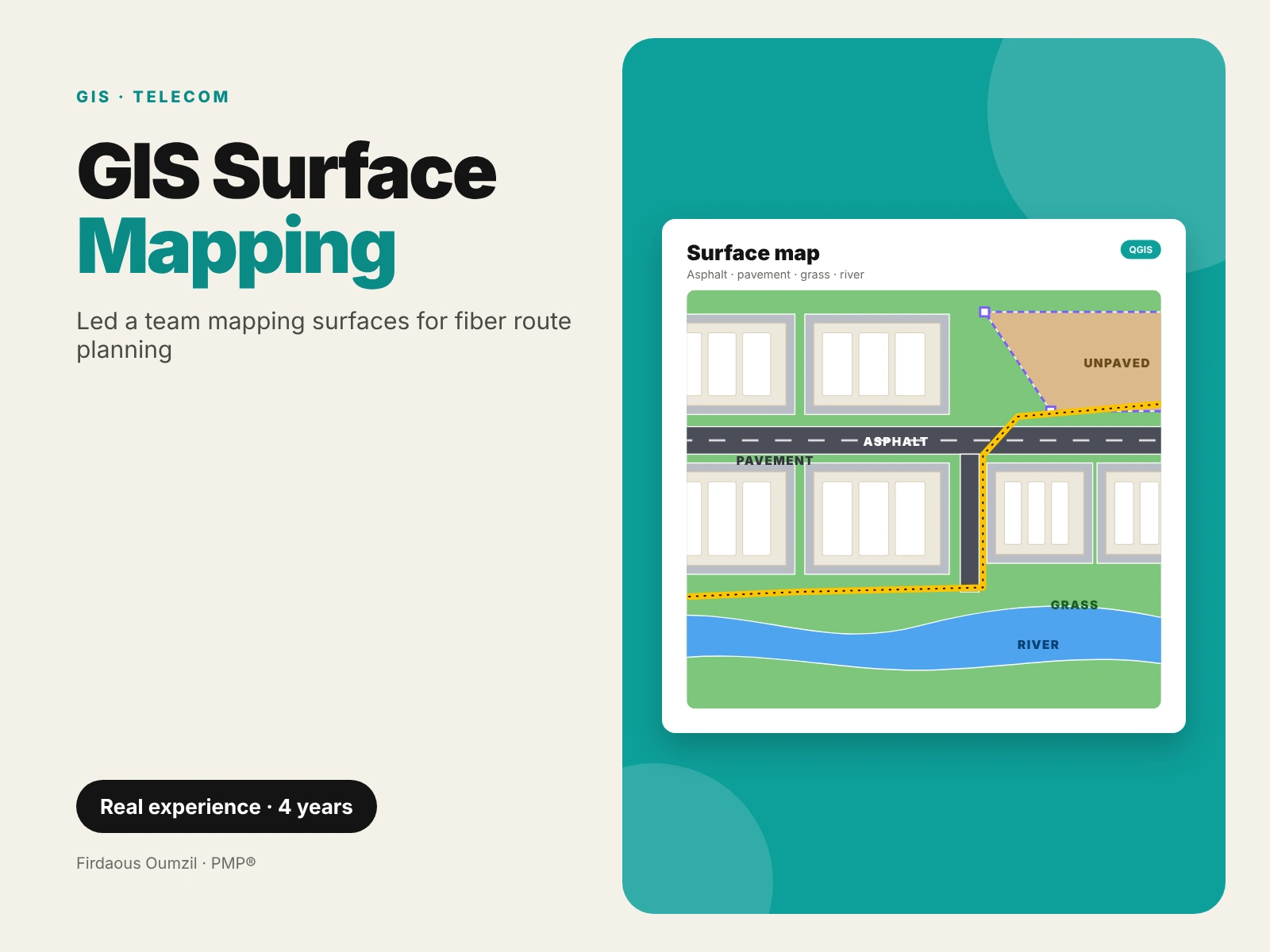
For 4 years I led a team of GIS engineers on a telecom operator project, delivered by an offshore team. We digitized surface types in QGIS (asphalt, pavement, grass, rivers and more) so the design team could choose fiber routes with the lowest cost.
As team lead, I prepared the projects, trained the team, set deadlines and ran the meetings with the client.
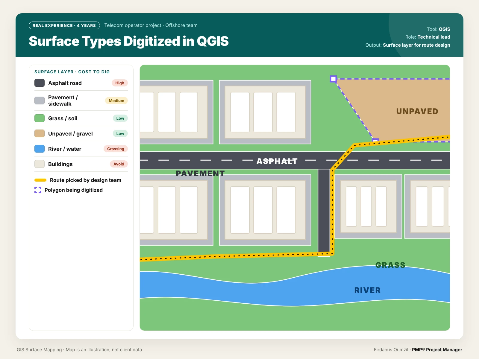
Surface types digitized in QGIS, each with its relative digging cost (illustration, not client data)
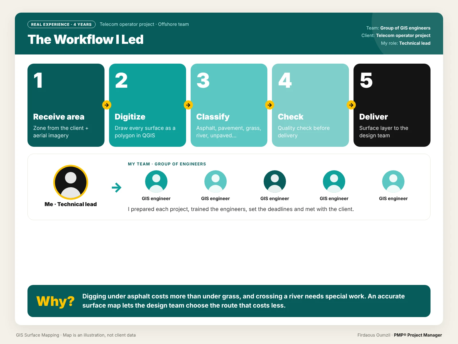
The workflow: from receiving an area to delivering the surface layer to the design team
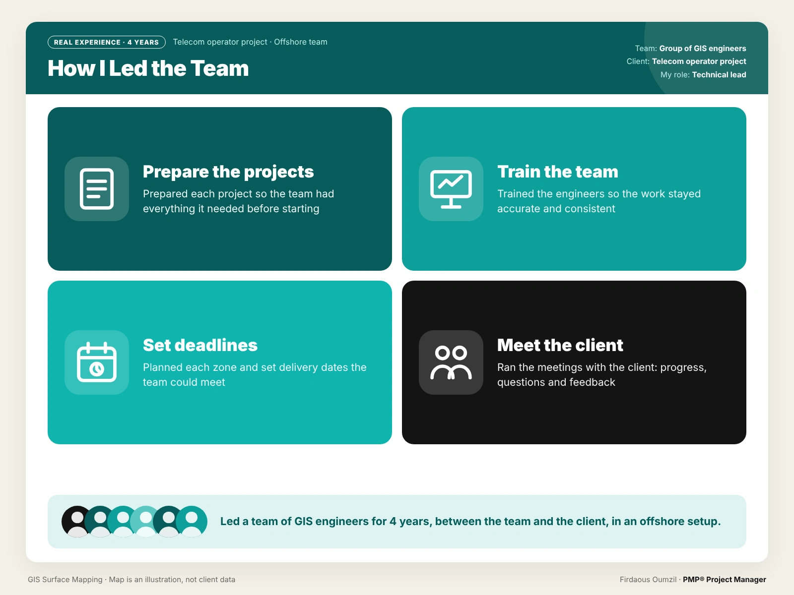
My role: preparing projects, training the team, setting deadlines, meeting the client
Tool: QGIS
Skills: team leadership, training, planning and deadlines, client communication
Like this project
Posted Oct 25, 2026
4 years leading a team of GIS engineers mapping surface types in QGIS, so fiber routes could be planned at the lowest cost.
Likes
0
Views
3