This project showcases sub-continental scale 3D map animatio...
3d WebGL
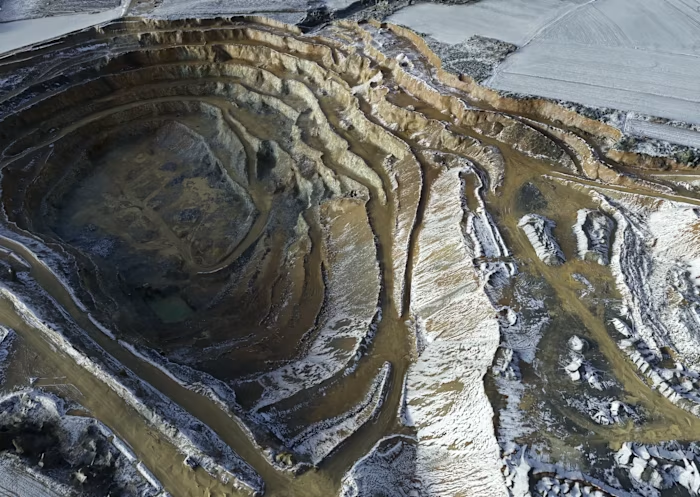
This project showcases sub-continental scale 3D map animations built from GIS data, designed to balance visual clarity, realism, and a controlled stylistic approach. The workflow focuses on transforming large-scale geospatial datasets into clean, readable animated visualizations while maintaining geographic accuracy. A key constraint of the project was achieving 4K frame renders under 30 seconds.
Like this project
Posted Dec 17, 2025
This project showcases sub-continental scale 3D map animations built from GIS data, designed to balance visual clarity, realism, and a controlled stylistic a...
Likes
0
Views
2