Geoscope – Intelligent Location Detection Powered by AI
Tarun Bhati
Geoscope – Intelligent Location Detection Powered by AI
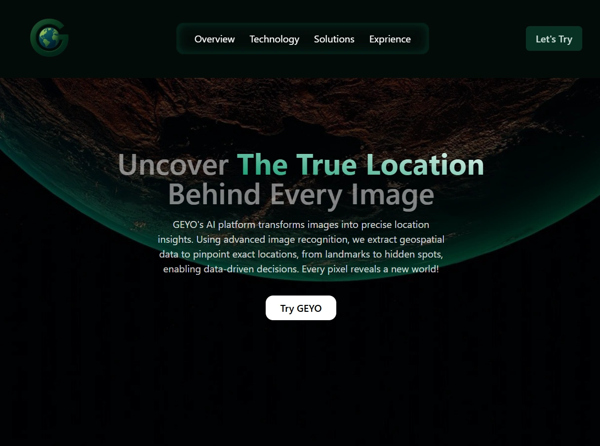
Geoscope is a smart geospatial platform that turns any image into precise location intelligence giving the exact location on Map and also providing streetview along with it. It uses advanced AI to recognize and map landmarks, urban structures, terrain details, and even remote locations from photos.
Key capabilities include:
Smart image-to-location conversion, pinpointing exact places from user-uploaded images
Advanced data visualization, displaying detected geospatial features on an interactive map
Real-time analytics, allowing users to explore location insights instantly
Breakdown of AI-detected features - like landmark names, coordinates, and contextual data.
We focused on designing a clean, intuitive interface where users can upload images, view mapped outcomes, and dive into spatial insights without friction. The end result: a powerful, user-friendly tool that transforms image data into geographical intelligence instantaneously.

Like this project
Posted Jul 17, 2025
Developed Geoscope, an AI-powered geospatial platform for image-to-location conversion, users can also view street view of detected location.
Likes
0
Views
6