
Konstantinos Chantsaris
Full-Cycle Systems Engineer | Hardware, Data Pipelines & Web
New to Contra
Konstantinos is building their profile!

Paisica is a digital piano-learning platform that functions as an educational ecosystem and, by leveraging Artificial Intelligence, statistical analysis and gamification techniques, makes learning the piano a manageable, enjoyable and guided experience.
Paisica aims to bridge the gap between technical practice, theoretical background and social interaction. Through immersive storytelling, dynamic community support and global ranking competition among other students, Paisica transforms the previously solitary studies into an adventure for knowledge.
The core mission at Paisica is to make music education accessible to everyone, while transforming everyday study into an exciting experience.
0
12
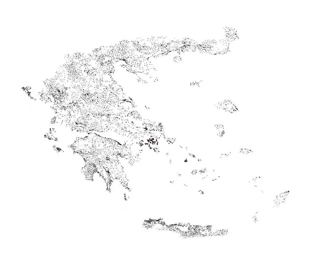
Standard municipal data is misleading.
If you want to find 15-Minute Cities within Greece's urban landscape, you have to rely on more than just city-wide averages.
I've been creating a containerized PostGIS spatial data warehouse to identify undervalued, structurally neglected and high-potential urban micro-fragments.
The data includes:
6,138 official ELSTAT communes
12,505 objective government pricing polygons
132,000+ OpenStreetMap amenities
Fusing different spatial and flat tabular data together presented challenges. Last night, I published an article on Medium documenting the process of building this spatial ETL pipeline. I cover the architectural wins, and of course the bugs encountered along the way.
These include:
Spatial Sliver Confusion: How a 150m² geographic sliver falsely inherited the population of a 20km² city, and why I had to build a Two-Tier Data Model to fix it.
CRS Misuse: How a projection mismatch between EPSG:3857 and EPSG:4326 caused the mapping software to panic and collapse into a blank screen.
Missing Spatial Index: Why dropping a functional GIST ((geometry::geography)) index turned a 2-second query into an hour-long frozen process.
Analytical Reward: Running an initial and experimental spatial linear regression in SQL, showcasing a €8.51/m² property value increase for every additional amenity per km².
If you are into Data Engineering, GIS or Spatial Engineering in general, check out the full technical breakdown here:
🔗 https://medium.com/@kchantsaris_84495/designing-a-spatial-etl-pipeline-in-postgis-72565b53aeb8
1
23