
Heri Purnama
• GIS • Terrain • Cross-sections • AutoCAD • Excel-VBA
New to Contra
Heri is ready for their next project!
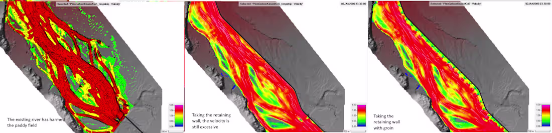
This analysis is required to evaluate the existing flow conditions that have caused erosion of agricultural land. Based on the assessment, the use of gabions was considered as an erosion control measure. However, gabions alone are not sufficient due to the relatively high flow velocity; therefore, additional protection in the form of groins is required to reduce flow energy and stabilize the riverbank.
0
3
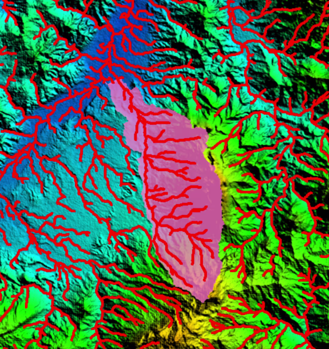
I prepare catchment area analysis for river training design projects.
0
11
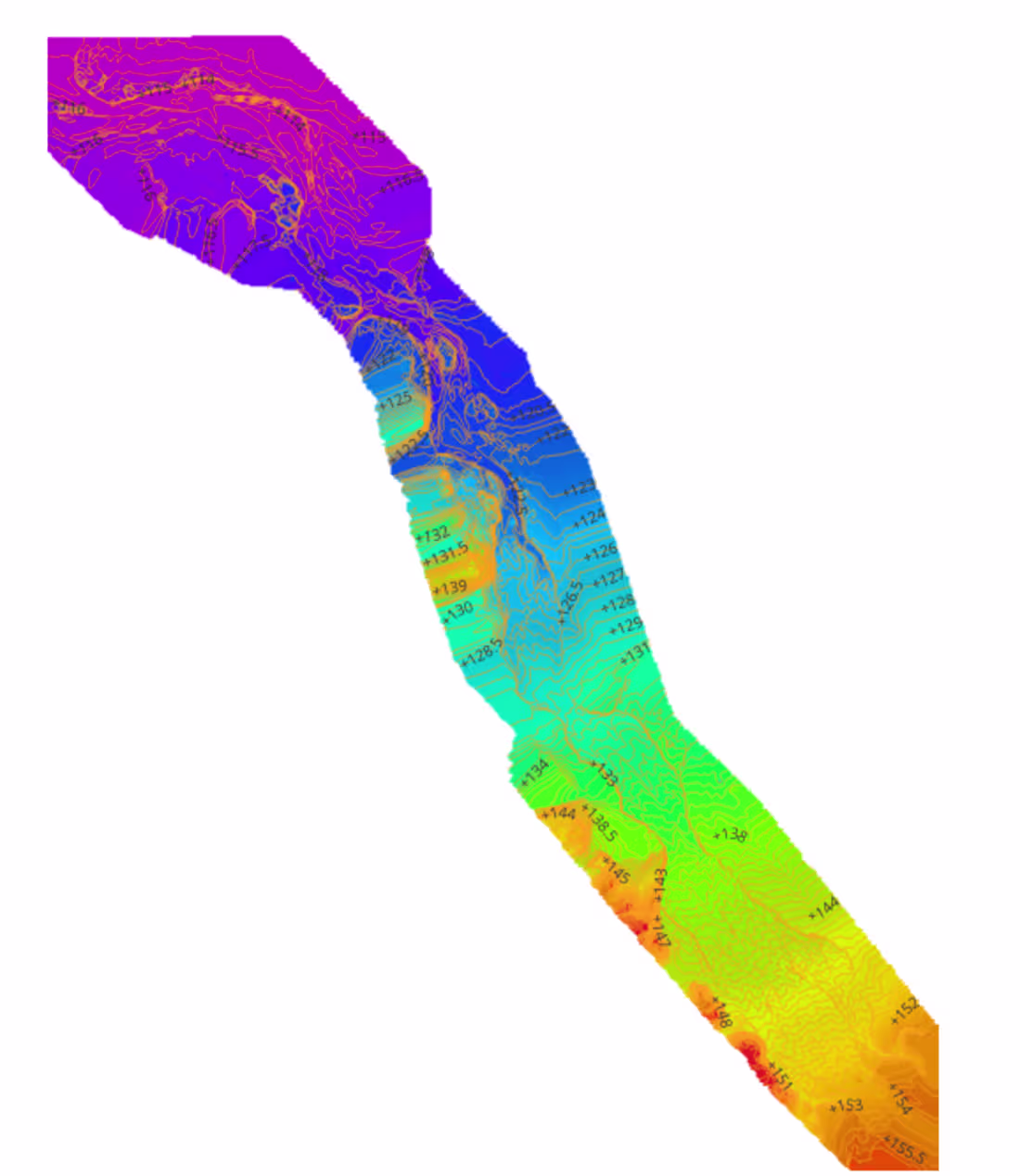
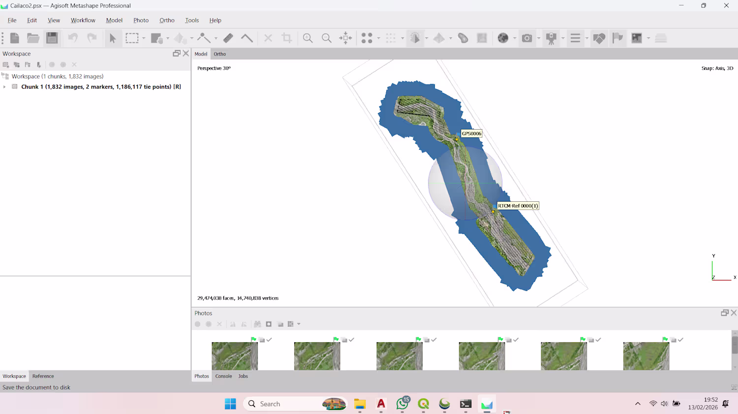
I prepare terrain & contour data from LiDAR for designing gabion structures for river training
0
17
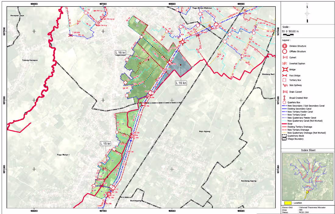
This map is required to identify areas that are part of the tertiary irrigation scheme, show the water supply routes to these tertiary areas, and assess the physical and environmental conditions within these areas.
0
31