Freelancers using GeoServer
Sign Up
Post a job
Sign Up
Log In
Filters
1
Projects
People
Keshar Gurung
Lalitpur, Nepal
Full Stack Web Developer | PHP/Laravel/Web GIS
Follow
Message
Full Stack Web Developer | PHP/Laravel/Web GIS
1
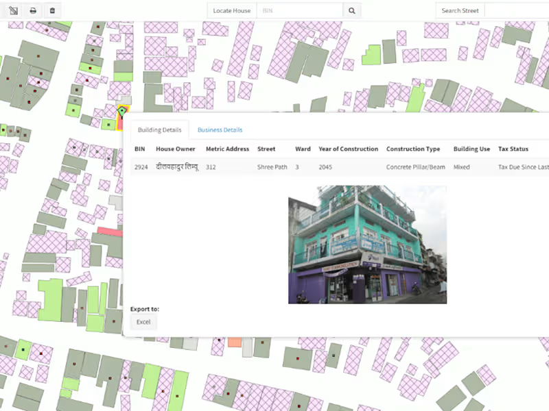
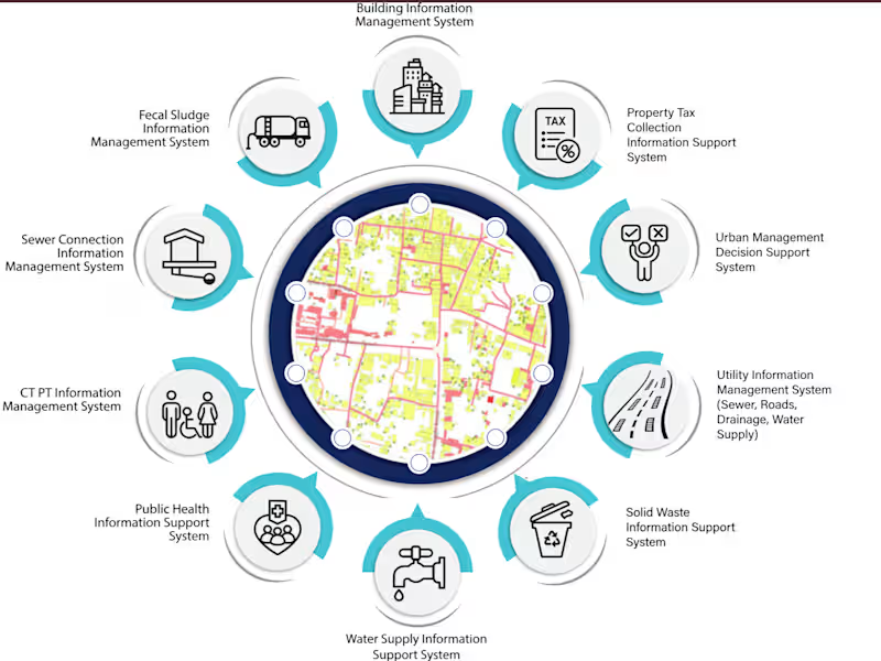
GIS-Based Tax Payment Information System
1
10
1
Integrated Municipal Information System
1
14
0
Conference Management System
0
9
1
Tool to Extract Emails And Chats Into A Neat PDF
1
12
GeoServer
(2)
Follow
Message
Yong Zhang
Jinan, China
Software engineer building web, GIS, 3D & data products
New to Contra
Follow
Message
Software engineer building web, GIS, 3D & data products
0
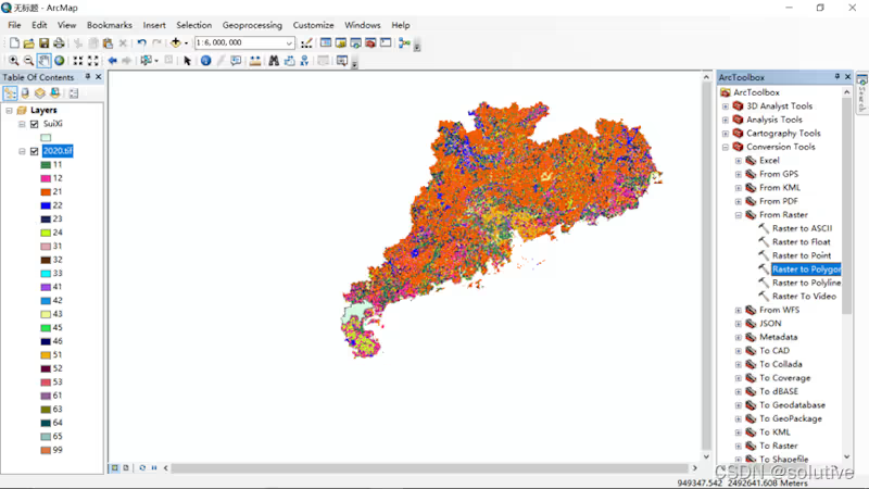
20M+ Spatial Data Architecture & Web Mapping Performance Reworked a GIS data pipeline after the existing map architecture could no longer handle 20M+ spatial features effectively. I redesigned the storage, map-service and front-end access layers around PostgreSQL/PostGIS, GeoServer and WMS, covering data management, service publishing, layer rendering, feature queries and spatial analysis. I also isolated GIS preprocessing, analysis and rendering behind clear interfaces so regular front-end and back-end developers could work against stable contracts without depending on GIS internals.
0
34
0
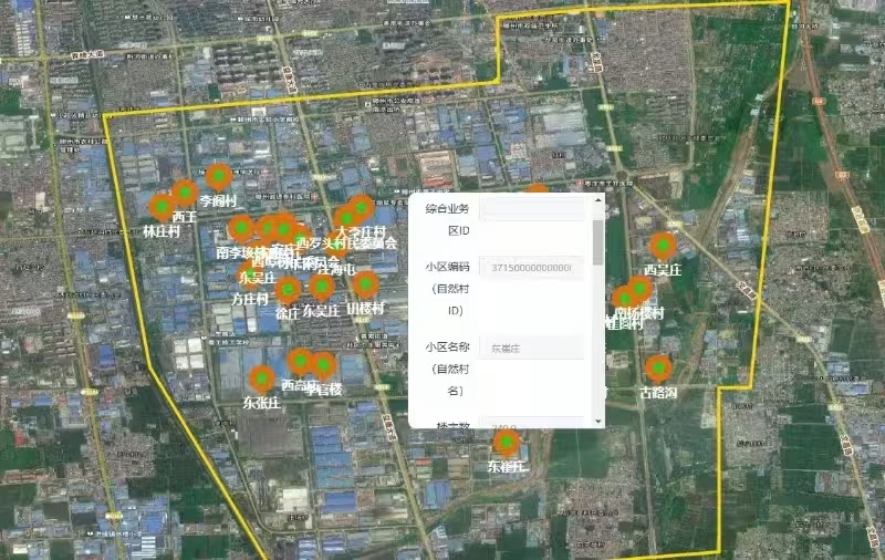
Telecom Facility Inspection & GIS Management Platform Turned an open-ended request — how to combine field inspection, check-ins and GIS — into an implementable Web + mobile system. I mapped real operating workflows, management goals, staff routes, scheduling, task dispatch and completion loops, then defined responsibilities across Web/mobile, GIS data, map services, APIs and feature scope. I also worked with the project manager to break the GIS scope into executable development tasks and delivered the core GIS capabilities.
0
37
0
2D / 3D Linked Graphic Editor Built an interactive web editor that connects 2D design content with a live 3D model preview. The workflow supports graphic editing, model node selection, UV/texture mapping, and real-time visual updates between the 2D canvas and 3D surface. I worked on the front-end architecture and core interaction logic using Fabric.js and Three.js.
0
37
0
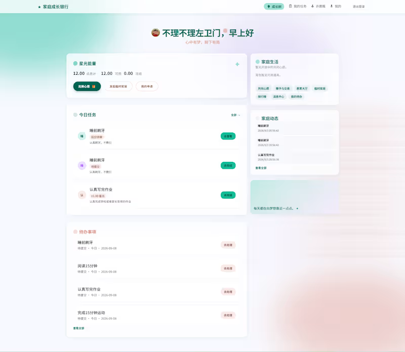
Family Task & Rewards Management System A full-stack system built for real household use, covering tasks, rewards, account balances and family rules. I designed the product logic and system structure, implemented the Vue/TypeScript + Spring Boot + PostgreSQL stack, and iterated the business model based on actual usage feedback.
0
42
GeoServer
(2)
Follow
Message
Ahmad Mustafa
Lahore, Pakistan
GIS & Python Developer | Geospatial AI Specialist
New to Contra
Follow
Message
GIS & Python Developer | Geospatial AI Specialist
0
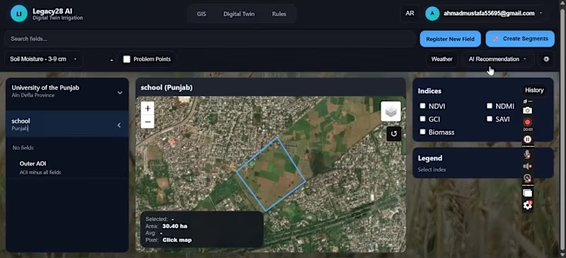
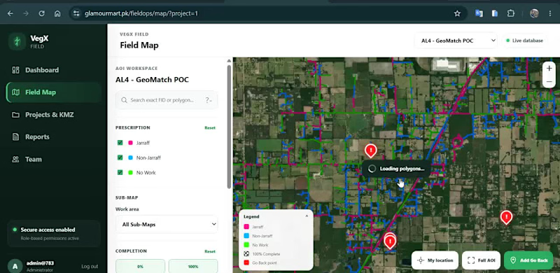
🗺️ Web GIS for Field Operations & Location-Based Data Collection I developed an interactive geospatial platform designed to help teams visualize, manage and update field-work information directly on a map. The application combines Web GIS, satellite imagery, spatial data management and field reporting in a single workflow. Key capabilities include: • Interactive field map with spatial work areas • Color-coded work / prescription classifications • Multiple GIS sub-maps and project views • Satellite and OpenStreetMap basemap switching • Work completion and status tracking • Location-based field-point creation • GPS coordinate capture • Field categorization and notes • Photo attachment support for field observations • Map-based project and team workflows The goal is to replace disconnected field records with a centralized spatial workflow, where teams can see exactly where work is required, record observations from the field, and maintain geographically accurate project information. Built around Web GIS, spatial databases and interactive mapping. Interested in projects involving GIS development, field-data collection, asset management, spatial dashboards and geospatial workflow automation.
0
52
0
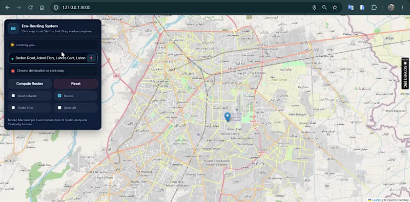
🚗🌍 Can a navigation system recommend the most fuel-efficient route instead of simply the shortest one? This project was developed as part of my MPhil Remote Sensing & GIS thesis. I designed and developed an intelligent Web GIS routing system that generates and compares four alternative routes between an origin and destination and recommends the most suitable route using a Multi-Criteria Decision-Making (MCDM) approach. Instead of considering only distance, the system evaluates multiple factors such as: • 🌱 Fuel-efficiency / environmental suitability • ⏱ Travel duration • 🚧 Road hurdles and route conditions • 📏 Travel distance The alternatives are evaluated using a TOPSIS-based decision model, allowing the system to identify the route with the best overall balance rather than simply choosing the shortest path. I also integrated an AI assistant that explains route recommendations in natural language, helping users understand why one route is preferable to the alternatives. Key features: • Interactive Web GIS navigation • Four-route generation and comparison • MCDM/TOPSIS route ranking • Fuel-efficient route recommendation • Route distance and travel-time analysis • Road-condition / hurdle consideration • AI-generated route explanations • Interactive route visualization • Decision-support interface for sustainable mobility Built with Python, Django, GIS, Leaflet/OpenStreetMap, MCDM and AI integration. This research explores how GIS + decision science + AI can support smarter and more sustainable urban mobility.
0
44
0
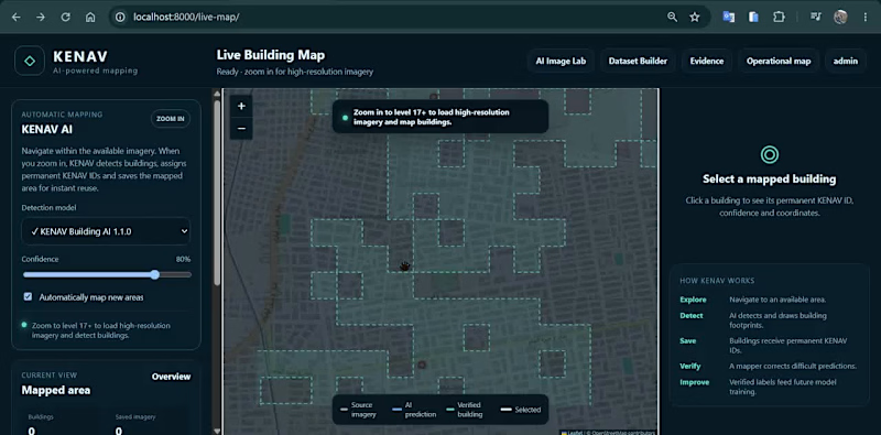
🛰️ AI-Powered Building Detection & Human-in-the-Loop GIS A look at a geospatial AI platform I developed for detecting, reviewing, and managing building footprints from satellite imagery. The workflow combines GeoAI, GIS and human validation to turn AI predictions into reliable geospatial datasets. In this demo: • AI-based building footprint detection • Interactive satellite imagery and GIS mapping • Building polygon visualization • Confidence-based AI predictions • Accept / reject prediction workflow • Manual correction of detected footprints • Human-reviewed labels for future model improvement • Geospatial coordinates and building-level data management The goal is to create a scalable workflow where AI performs the initial mapping while human review improves accuracy and provides better training data for subsequent model versions. Built around GIS + GeoAI + computer vision + satellite imagery. Always interested in connecting with people working in GIS, GeoAI, remote sensing, mapping and spatial AI.
0
84
0
Built a modern Web GIS application for interactive spatial analysis, map visualization, and geospatial data comparison. The platform integrates mapping technologies, satellite imagery, and location-based analytics to help users explore geographic data and make informed decisions. Developed using GIS workflows, Python, and web mapping technologies for a responsive and user-friendly experience.
0
40
GeoServer
(1)
Follow
Message
Waleed Khurram
Lahore, Pakistan
A Video Editor and Motion Graphics Designer
New to Contra
Follow
Message
A Video Editor and Motion Graphics Designer

0
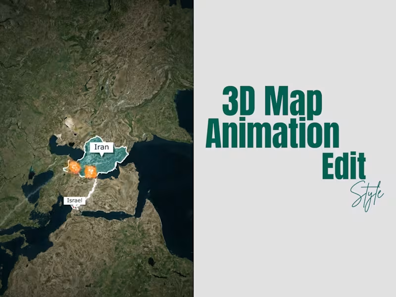
Geopolitical War — 3D Map
0
55
0
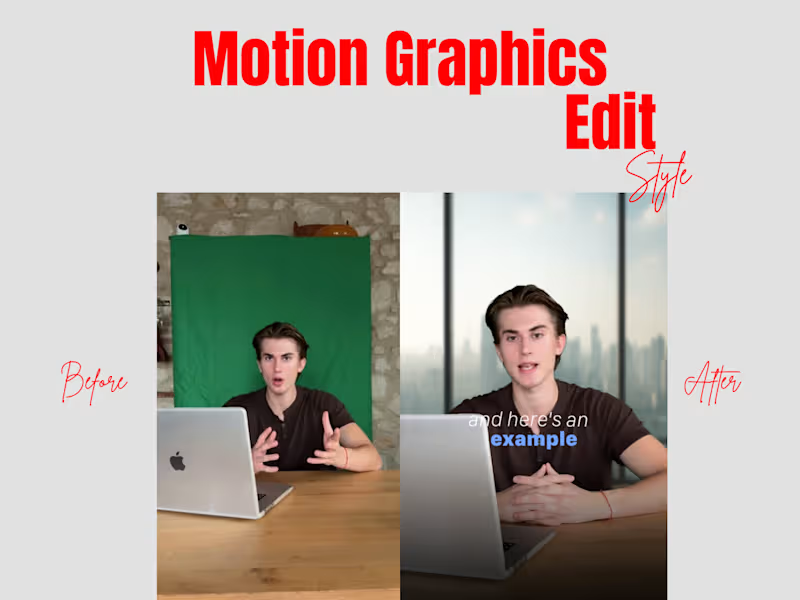
Talking Head Video
0
53
0
Podcast Edit
0
66
0
Real Estate Marketing Ad
0
79
GeoServer
(1)
Follow
Message
Arfa Altaf
Mumbai, India
Computer Engineering with a strong foundation in pro
New to Contra
Follow
Message
Computer Engineering with a strong foundation in pro
0
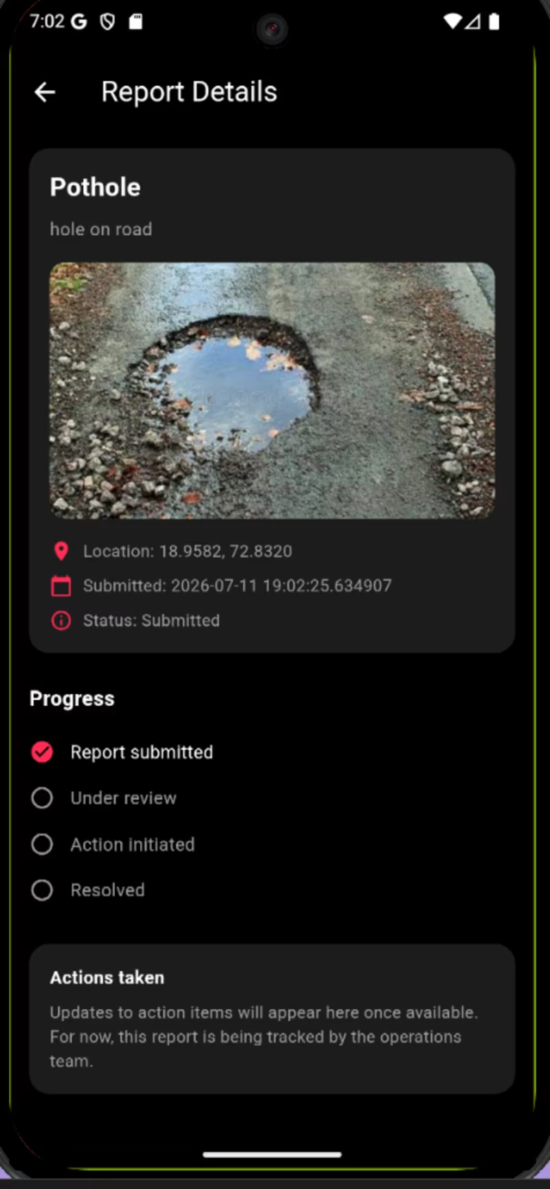
SOS + Emergency Services + Incident Reporting + Location + Safety Information
0
10
0
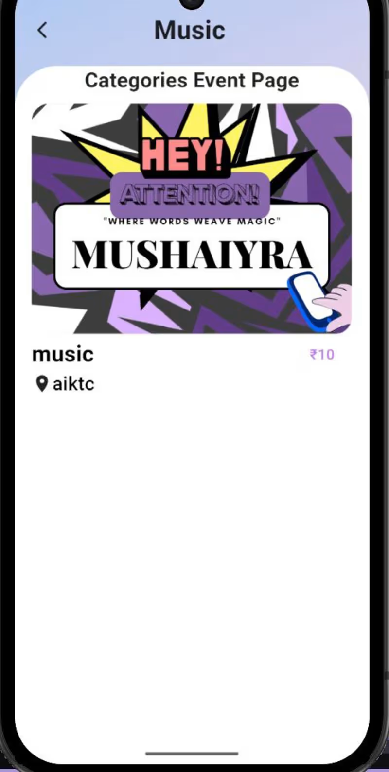
Festrix — Event Management App,Festrix is a mobile event management application designed to make discovering, organizing, and managing events easier. The app provides a user-friendly interface for browsing events and accessing relevant event information in one place.
0
29
0
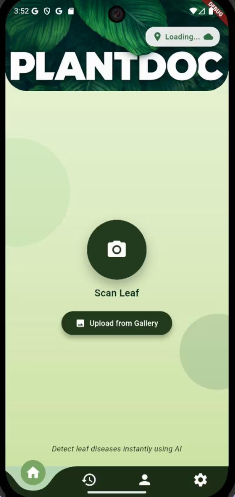
PlantDoc is an AI-powered mobile application designed to help users identify plant diseases from images. The app allows users to capture or upload a plant image and uses a machine-learning model to analyze the image and provide disease-related results.
0
25
0
RapidResQ
0
1
GeoServer
(1)
Follow
Message
Mohammed Kaif Pasha
Hyderabad, India
Creating real-world tech solutions through code and IoT.
Follow
Message
Creating real-world tech solutions through code and IoT.

1
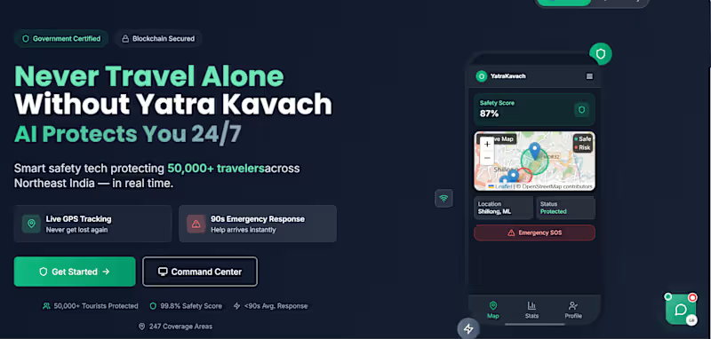
YatraKavach - Secure Travel
1
6
4
LumaPlay is a voice-activated 3D physics sandbox built with React Three Fiber and Rapier physics engine. The Web Speech API transcribes children's voice commands into 3D object instantiation with real-time physical simulation at 60fps across devices. The architecture features pixel-perfect raycast dragging, magnetic surface snapping with 0.1-unit precision alignment, and hierarchical rigid body constraints. Spatial AI evaluation analyzes object positions and stacking patterns to deliver adaptive learning feedback. Live Demo: https://omma.build/hauimieky7s (https://omma.build/hauimieky7s)Youtube: https://youtu.be/JB9-no8i3hY?si=4tplGfEaHtxXlLZn
4
234
1
Technix-CRM
1
5
0
AI Agent Marketplace Development
0
4
GeoServer
(1)
Follow
Message
Explore people