The network for creativity
Join 1.25M professional creatives like you
Connect with clients, get discovered, and run your business 100% commission-free
Creatives on Contra have earned over $150M and we are just getting started
Back to feedPost

🗺️ Web GIS for Field Operations & Location-Based Data Collection
I developed an interactive geospatial platform designed to help teams visualize, manage and update field-work information directly on a map.
The application combines Web GIS, satellite imagery, spatial data management and field reporting in a single workflow.
Key capabilities include:
• Interactive field map with spatial work areas
• Color-coded work / prescription classifications
• Multiple GIS sub-maps and project views
• Satellite and OpenStreetMap basemap switching
• Work completion and status tracking
• Location-based field-point creation
• GPS coordinate capture
• Field categorization and notes
• Photo attachment support for field observations
• Map-based project and team workflows
The goal is to replace disconnected field records with a centralized spatial workflow, where teams can see exactly where work is required, record observations from the field, and maintain geographically accurate project information.
Built around Web GIS, spatial databases and interactive mapping.
Interested in projects involving GIS development, field-data collection, asset management, spatial dashboards and geospatial workflow automation.


The network for creativity
Join 1.25M professional creatives like you
Connect with clients, get discovered, and run your business 100% commission-free
Creatives on Contra have earned over $150M and we are just getting started





Related posts

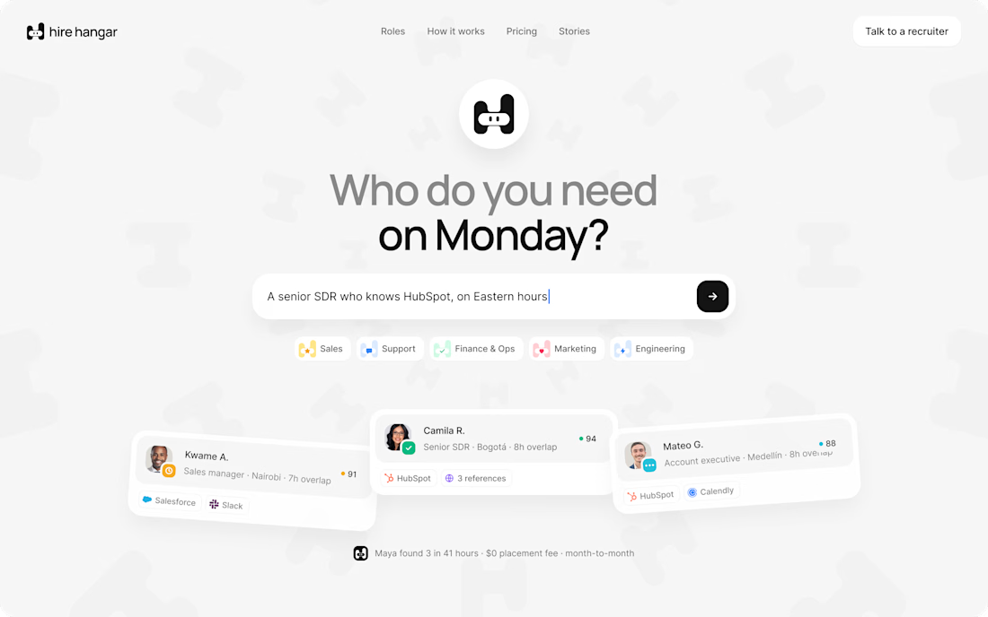
A good landing page shouldn’t make you work to understand it.
Been working on a new project where the goal was simple:
Make a complex product feel simple, clear, and easy to explore.
Less explaining.
Less clutter.
More visual hierarchy.
A clearer path to the next step.
Still working through the details, but this one is coming together nicely.
Full case study soon.
This pairs well with the Hire Hangar screenshot because the design itself demonstrates the point—you don't need to reveal the whole project yet.



Appreciated @Mehdi Hassan
keep on rocking

THREADLINE ATELIER
A premium booking experience for a custom fashion studio in Lagos.
I wanted to solve a simple problem: when someone asks, “Can I book with you?”, the designer shouldn't have to spend the next hour going back and forth about availability, measurements, event dates, and scheduling.
Threadline Atelier turns that into one smooth flow:
Inquiry → Design Brief → Availability → Booking → Deposit → Confirmation
Customers can choose what they're making, share their occasion and event date, upload inspiration, select a real available consultation time, pay the consultation deposit, and get booked.
For the designer, it reduces manual coordination, follow-ups, and scheduling headaches.
Visually, I wanted it to feel like a luxury fashion house with a digital experience editorial typography, contemporary African fashion, cinematic motion, and subtle thread-inspired interactions.
The signature moment:
“YOU'RE BOOKED.”


This is a well structured website but the booking experience is what I looks good.

Finally sharing my new portfolio website.
I wanted to build something that feels like me — clean, interactive, and focused on the work rather than just listing skills.
Built from scratch with a focus on:
→ Clean UI
→ Smooth interactions
→ Responsive design
→ Clear project presentation
There’s still a lot I want to improve, but after a lot of designing, tweaking, and rebuilding, I’m genuinely happy to finally put it out there.
Take a look: https://portfolio-olive-chi-6a94ctldsf.vercel.app/


Really like the clean approach here. The focus on showcasing the actual work makes the portfolio feel much more engaging.