The network for creativity
Join 1.25M professional creatives like you
Connect with clients, get discovered, and run your business 100% commission-free
Creatives on Contra have earned over $150M and we are just getting started
Back to feedPost

Some tools in QGIS available for use in precision agriculture:
• Cadastral Plugin: used to divide polygons into equal parts; it requires a line layer to define the direction/angle of the division.
• Polygon Divider Plugin: divides a polygon into equal parts, with the division direction adjustable according to the intended purpose.
• Vector tool – Create grid: commonly used to generate sampling grids;
• QGIS toolbar – Split features: allows manual division of features.
#qgis #precisionagriculture #gis
The network for creativity
Join 1.25M professional creatives like you
Connect with clients, get discovered, and run your business 100% commission-free
Creatives on Contra have earned over $150M and we are just getting started











Related posts


serif on that roma details card is a nice surprise in a dev tool shot. what did you end up fixing first?

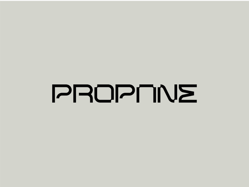
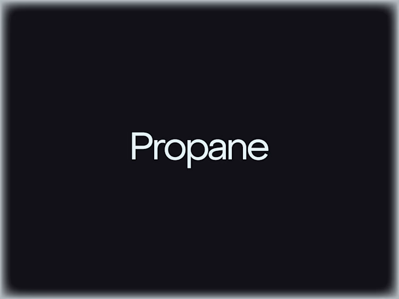
Fully customized wordmark or edited variation of a geometric sans serif, which one are you choosing and why?
The way it differentiates from the geometric sans is that it represents a modular typeface engineered on a strict grid to ensure structural stability, balanced weight, and consistency.
Subtle circular corner cutouts introduce a human touch within a controlled, architectural framework.
I can share their construction grids I used to create them, is this something you'd want to see?

21 votes
Ends in 1d

Great job Filip🔥🔥

I came across an amazing piece by Wes Cockx, which inspired me to create something similar.
The goal wasn't just to recreate the visuals, but to understand how the motion works and how to build it using Geometry Nodes in Blender.
It was a great opportunity to experiment, learn new techniques, and practice skills I can bring into future client projects.
Sometimes, the best way to learn is to take something that inspires you and figure out how it works.
--
No AI was used.


Recreating a piece to learn the motion is a great way to practice. The lighting looks sharp.