The network for creativity
Join 1.25M professional creatives like you
Connect with clients, get discovered, and run your business 100% commission-free
Creatives on Contra have earned over $150M and we are just getting started
Back to feedPost

Water Infrastructure & Spatial Resource Mapping
3D Infrastructure Visualizer / Spatial Designer
Overview:
Comprehensive, enterprise-grade isometric vector asset library and spatial infographic mapping the full lifecycle of industrial, agricultural, and urban water management infrastructure. Unified 14 distinct engineering sectors into a clear, high-fidelity presentation framework.
Key Deliverables:
1) High-fidelity vector visualizations of power generation plants, heavy wastewater treatment facilities, and agricultural matrices.
2) Formulated a dynamic multi-zone terrain overlay, from mountain reservoirs to coastal filtration hubs.
3) Standardized corporate color system optimized for environmental SaaS software and regional planning dashboards.

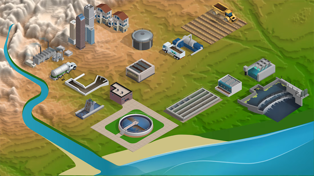

A masterful execution of systematic asset architecture, Slava! The clear spatial mapping across the entire water lifecycle — from mountain reservoirs down to coastal hubs — shows incredible engineering discipline. Exceptional corporate color syntax and immaculate high-fidelity scale!
The network for creativity
Join 1.25M professional creatives like you
Connect with clients, get discovered, and run your business 100% commission-free
Creatives on Contra have earned over $150M and we are just getting started

Challenges
View all


Related posts

My Top Featured Projects on @Contra Labs 🔥
⚡| NEXVOLU
⚡| HYDRUM VEIL
⚡| NOIRÉ
Each project explores a different direction, but the goal stays the same: build brands that stand out.
Which project is your favorite?
Drop the name below 👇


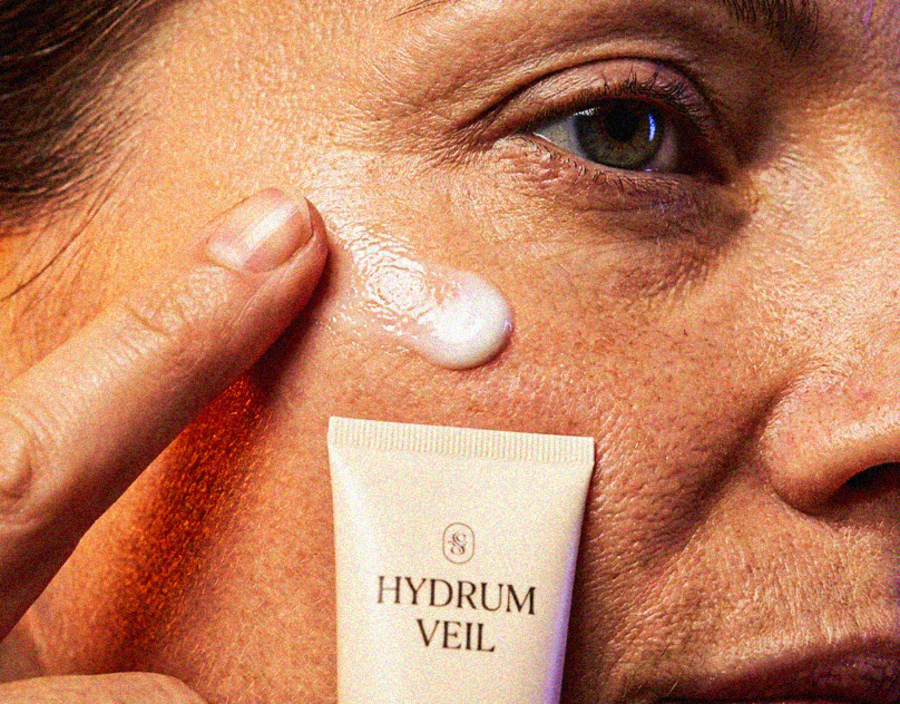

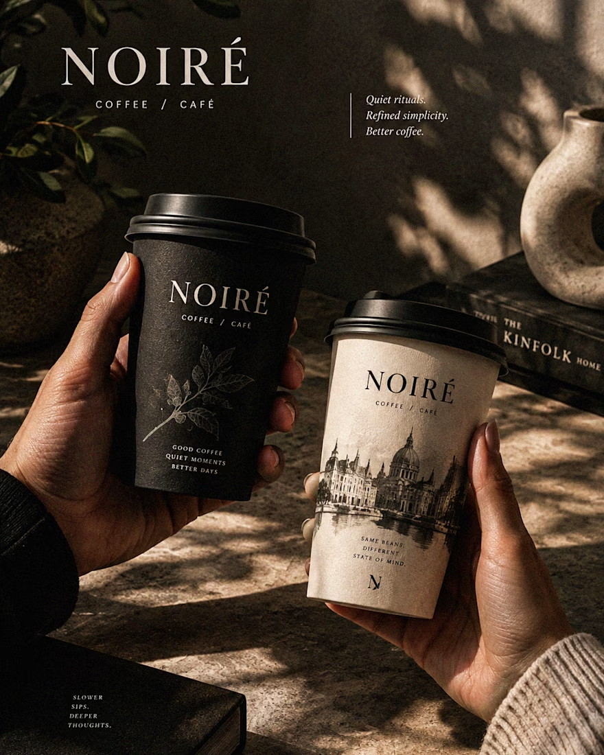

These are 🔥 Mine are all fav 🙌
Congo for Featured on @Contra HQ & @Contra Labs ... 😍

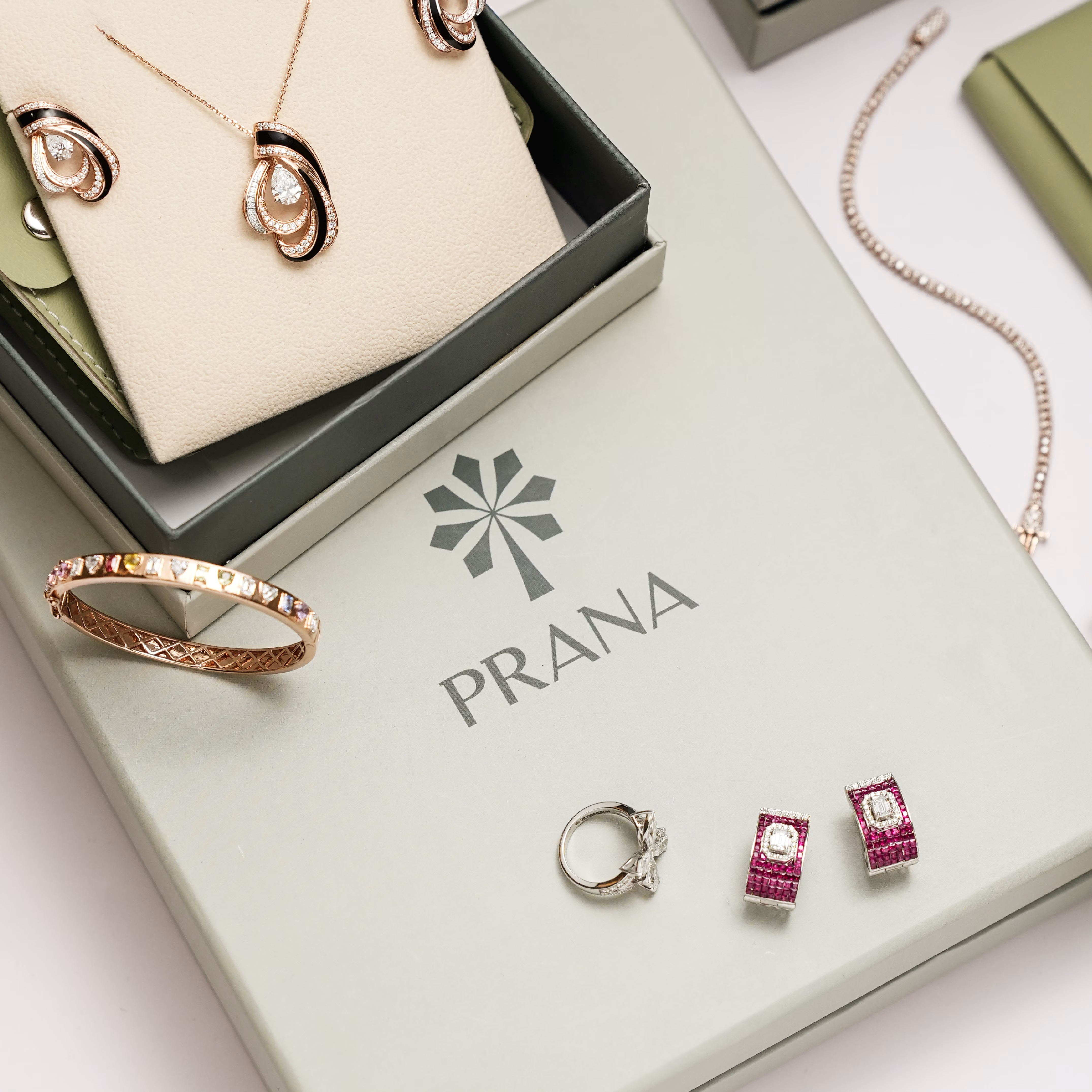
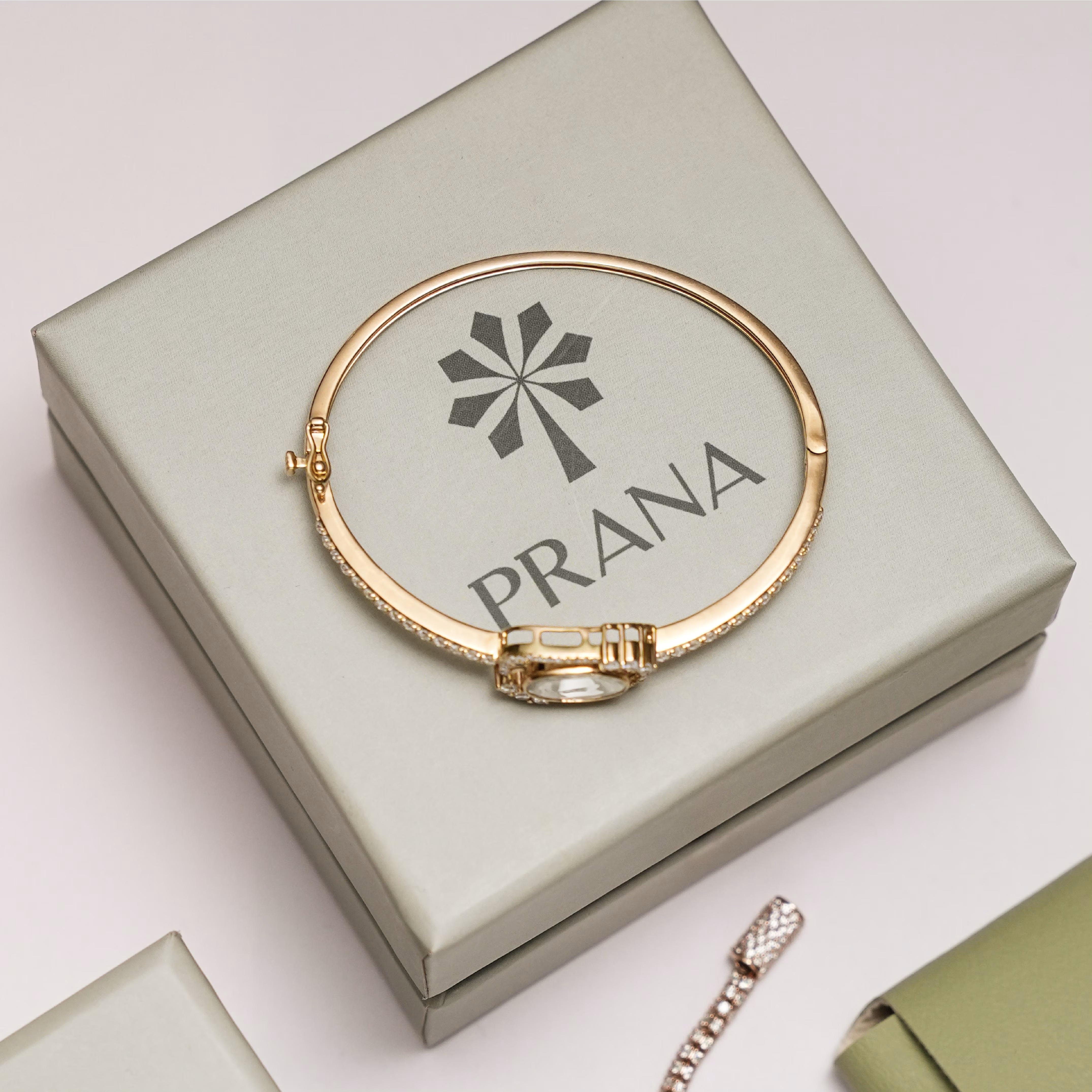
Introducing PRANA — a fine jewellery visual identity ✨
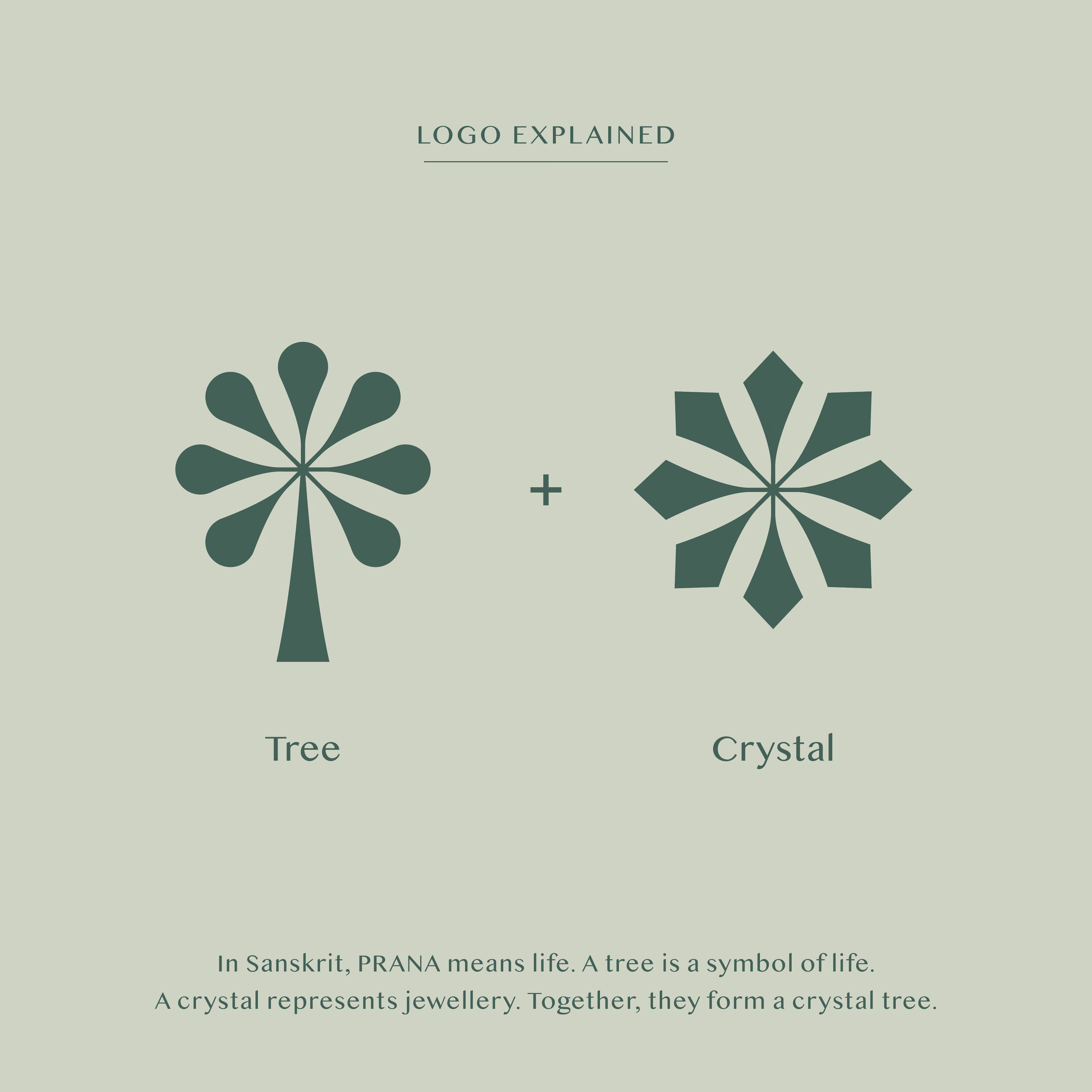
In Sanskrit, Prana, means force of life. A tree is a symbol of life. A crystal is a symbol of jewellery. Combined, we have a crystal tree - the concept behind the logo. The soft greens and the luxurious stylised typography reflect the brand’s beautiful designs that are rooted in elegance and timelessness.
Photos and website courtesy of @pranafinejewellery_.

Good !!
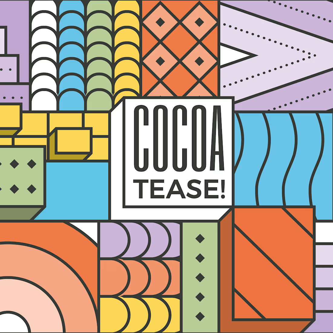
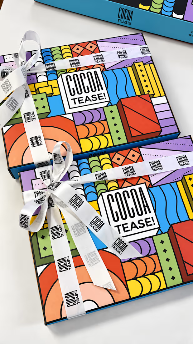
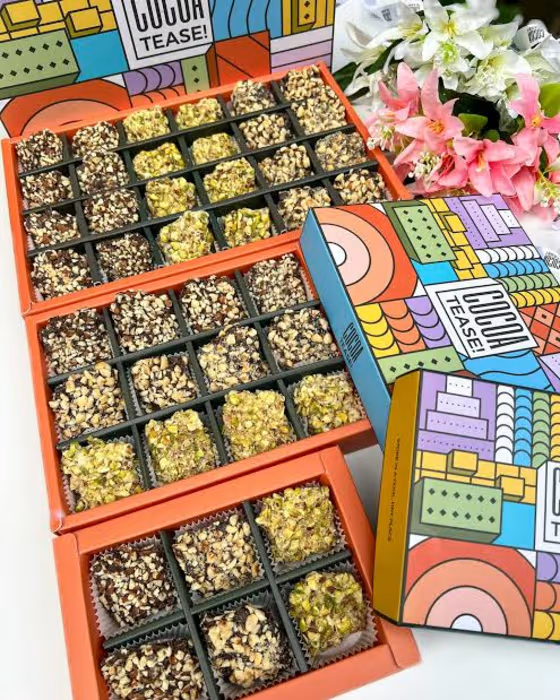
Brand & packaging design for Cocoatease! 🍫
•
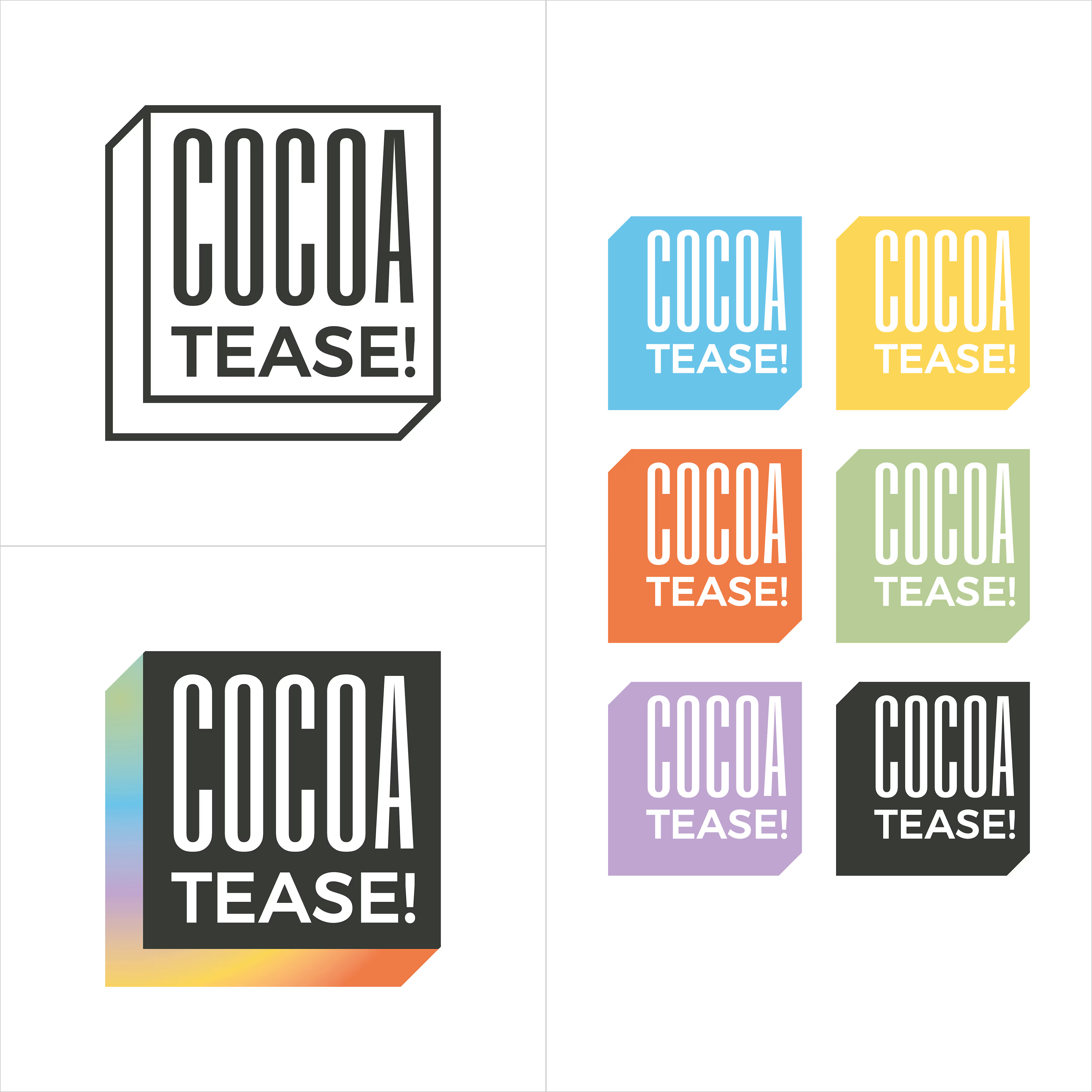
A chocolate company at heart, Cocoatease! is a dessert brand that aims to “tease your palette”. This unofficial tagline prompted the idea of a button for the logo…a visual way of saying “push for a treat”.
•
While a logo is usually designed first, the packaging was conceptualised first to meet growing demand. That pushed us (wink wink) to create a bunch of colour variations to match it.
•
Logo design, logo symbol, branding, brand design, visual identity design, packaging, packaging design, colour palette, typography

That's really incredible packing and brand design specially box cover design that's incredible ❤️❤️❤️