The network for creativity
Join 1.25M professional creatives like you
Connect with clients, get discovered, and run your business 100% commission-free
Creatives on Contra have earned over $150M and we are just getting started
Back to feedPost

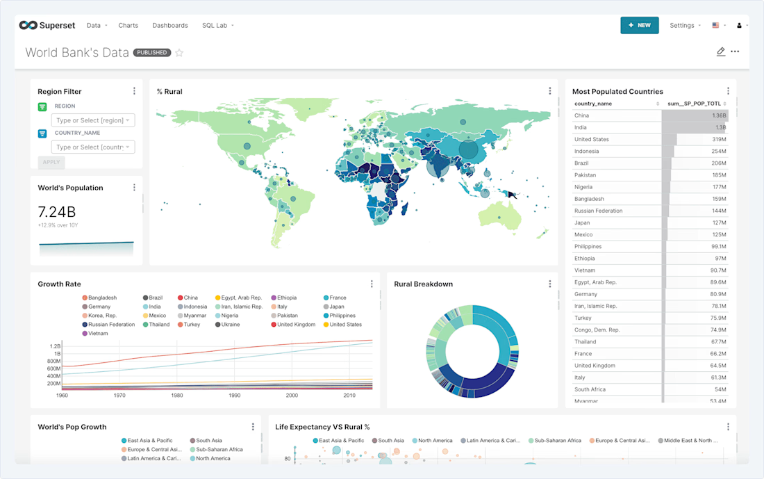
Apache Superset BI Dashboard & Data Reporting System.


The network for creativity
Join 1.25M professional creatives like you
Connect with clients, get discovered, and run your business 100% commission-free
Creatives on Contra have earned over $150M and we are just getting started





Related posts

Webdesly Circle — luxury loyalty MVP without points spam
I shipped Webdesly Circle — a maison loyalty desk built on access and care, not points balances.
No “you have 532 points.”
The loop: Define tiers → Assign a member → Grant an experience entitlement → Today → Mark fulfilled.
What’s live → https://webdesly-circle.vercel.app
Today · Members · Tiers · Entitlements · Settings. Next.js + Neon + Vercel. Distinct from Club (private club OS) — Circle is brand loyalty.
Phase 0 MVP in continuous development — grant→fulfill works; member portal, email, Stripe, suite bridges come next.
Want a calm loyalty/engagement SaaS MVP built with Cursor? DM me on Contra.


Full-Stack Developer & AI Automation Engineer
I build scalable web applications, SaaS platforms, mobile apps, custom dashboards, and AI-powered automation systems that turn complex business workflows into reliable digital products.
My core stack includes Next.js, React, Node.js, NestJS, Python, PostgreSQL, MongoDB, and AI APIs.
I specialize in turning ideas into production-ready systems—from architecture and development to deployment, automation, and optimization.
Available for:
AI Automation • SaaS Development • Web Development • Mobile Apps • Custom Dashboards • API Development • Business Automation


Seeing how you stitch AI APIs into custom dashboards really cuts the manual data wrangling. The stack choice keeps the deployment pipeline smooth.

Standard municipal data is misleading.
If you want to find 15-Minute Cities within Greece's urban landscape, you have to rely on more than just city-wide averages.
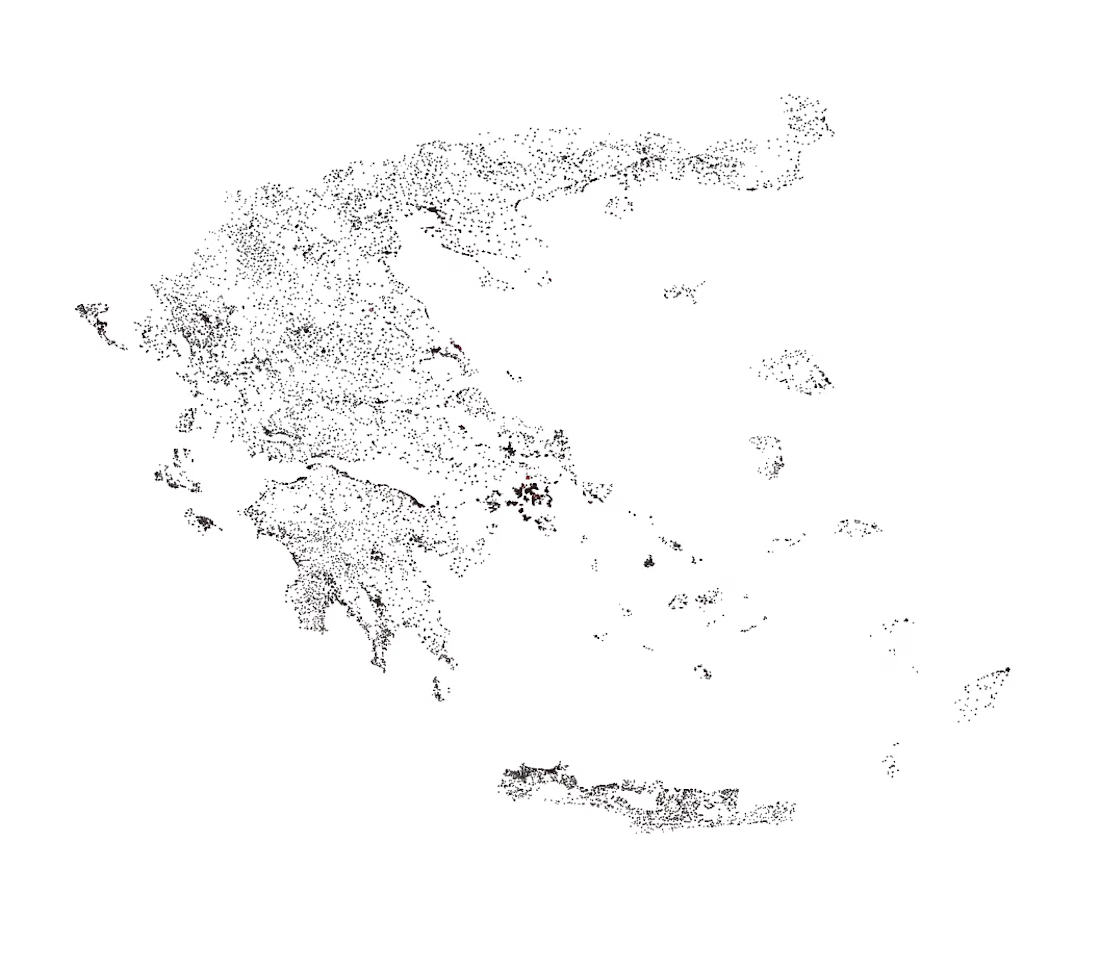
I've been creating a containerized PostGIS spatial data warehouse to identify undervalued, structurally neglected and high-potential urban micro-fragments.
The data includes:
6,138 official ELSTAT communes
12,505 objective government pricing polygons
132,000+ OpenStreetMap amenities
Fusing different spatial and flat tabular data together presented challenges. Last night, I published an article on Medium documenting the process of building this spatial ETL pipeline. I cover the architectural wins, and of course the bugs encountered along the way.
These include:
Spatial Sliver Confusion: How a 150m² geographic sliver falsely inherited the population of a 20km² city, and why I had to build a Two-Tier Data Model to fix it.
CRS Misuse: How a projection mismatch between EPSG:3857 and EPSG:4326 caused the mapping software to panic and collapse into a blank screen.
Missing Spatial Index: Why dropping a functional GIST ((geometry::geography)) index turned a 2-second query into an hour-long frozen process.
Analytical Reward: Running an initial and experimental spatial linear regression in SQL, showcasing a €8.51/m² property value increase for every additional amenity per km².
If you are into Data Engineering, GIS or Spatial Engineering in general, check out the full technical breakdown here:
🔗 https://medium.com/@kchantsaris_84495/designing-a-spatial-etl-pipeline-in-postgis-72565b53aeb8