
Create 3D models and point clouds from drone imagesShaun Ducker
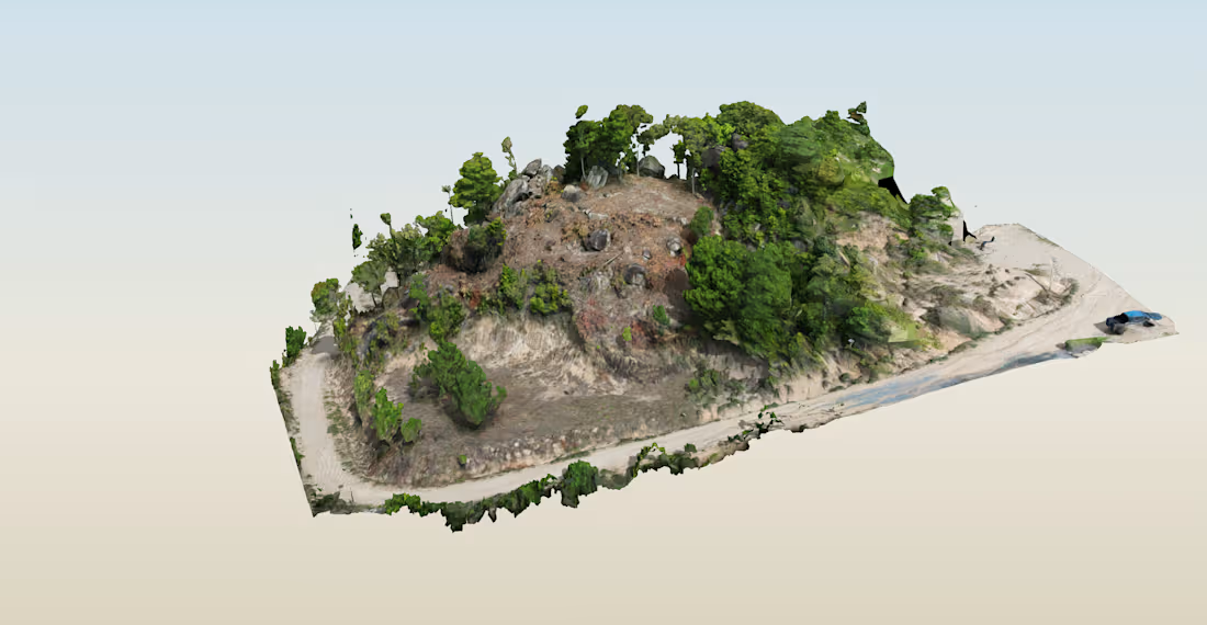
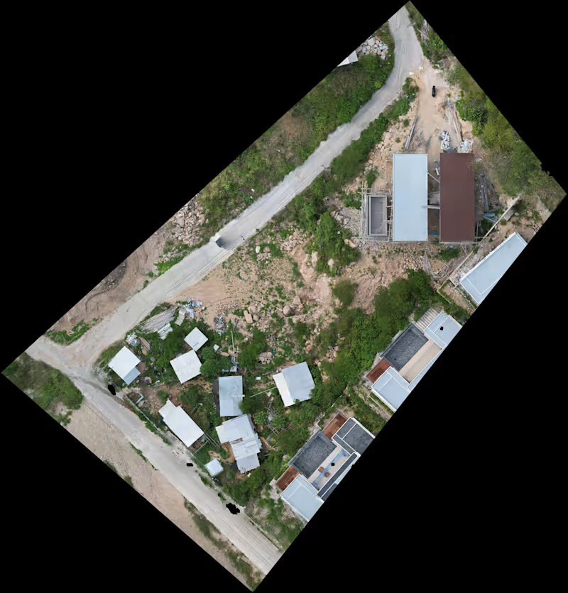
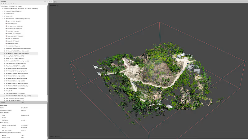
I will turn your drone imagery into a detailed 3D reconstruction using Agisoft Metashape Professional.
This service is ideal for drone operators, construction teams, architects, property professionals and others who already have aerial imagery and need a professional 3D model or point cloud.
Deliverables can include:
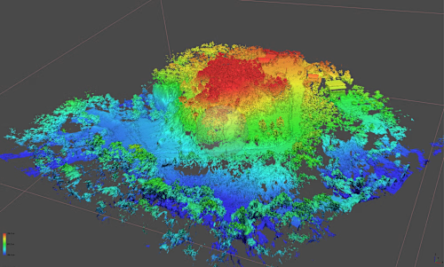
• Dense point cloud
• Ground and surface point-cloud processing
• Detailed 3D mesh reconstruction
• High-resolution textures
• LAS / LAZ / PLY point-cloud exports
• OBJ and other common 3D model formats
• Georeferenced outputs where suitable
• Metashape project file if required
This service covers datasets up to 1,500 drone images.
Before starting, I’ll review the imagery, required outputs and project requirements so the workflow is clear.
Final quality depends on image quality, overlap, camera settings, flight pattern, GPS/GCP data and the subject being reconstructed.
For larger datasets or complex sites, message me for a custom quote.
Example work
Starting at$100
Duration5 days
Tags
Agisoft Metashape

QGIS

3D Modeler
Data Analyst
Data Visualizer
Service provided by
Shaun Ducker Ko Tao, Thailand
Create 3D models and point clouds from drone imagesShaun Ducker
Starting at$100
Duration5 days
Tags
Agisoft Metashape
QGIS
3D Modeler
Data Analyst
Data Visualizer
I will turn your drone imagery into a detailed 3D reconstruction using Agisoft Metashape Professional.
This service is ideal for drone operators, construction teams, architects, property professionals and others who already have aerial imagery and need a professional 3D model or point cloud.
Deliverables can include:
• Dense point cloud
• Ground and surface point-cloud processing
• Detailed 3D mesh reconstruction
• High-resolution textures
• LAS / LAZ / PLY point-cloud exports
• OBJ and other common 3D model formats
• Georeferenced outputs where suitable
• Metashape project file if required
This service covers datasets up to 1,500 drone images.
Before starting, I’ll review the imagery, required outputs and project requirements so the workflow is clear.
Final quality depends on image quality, overlap, camera settings, flight pattern, GPS/GCP data and the subject being reconstructed.
For larger datasets or complex sites, message me for a custom quote.
Example work
$100