Create orthomosaic DEM DTM and contour mapsShaun Ducker
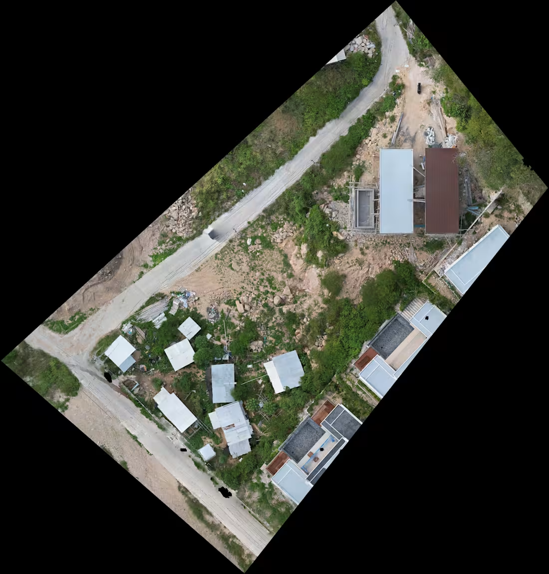
I will turn your drone imagery into accurate mapping and terrain outputs using Agisoft Metashape Professional and QGIS.
This service is ideal for drone operators, land and property professionals, construction teams and others who already have UAV imagery but need it professionally processed.
Deliverables can include:
• High-resolution orthomosaic / orthophoto
• DEM digital elevation model
• DTM bare-earth terrain model
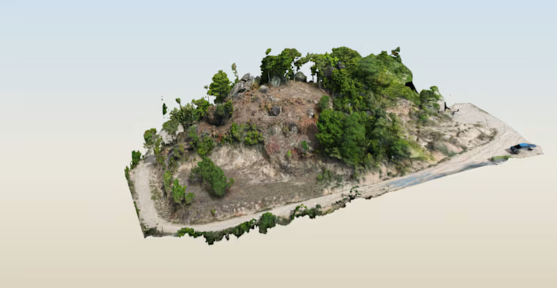
• DSM surface model
• Ground classification
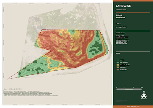
• Contour lines
• Elevation and slope maps
• GeoTIFF and other GIS-ready outputs
• QGIS mapping and visualization
This service covers datasets up to 1,500 drone images.
Before starting, I’ll review the imagery, coordinate system, control data and required outputs so the workflow is clear.
Final accuracy depends on image quality, overlap, flight pattern, GPS/GCP data and terrain conditions.
For larger datasets or unusual requirements, message me for a custom quote.
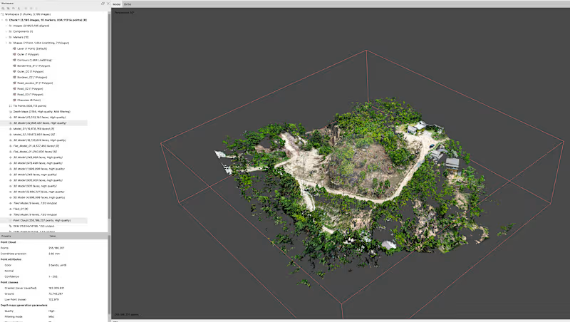
Example work
Starting at$100
Duration5 days
Tags
Agisoft Metashape

QGIS

3D Modeler
Data Analyst
Data Visualizer
Service provided by
Shaun Ducker Ko Tao, Thailand
Create orthomosaic DEM DTM and contour mapsShaun Ducker
Starting at$100
Duration5 days
Tags
Agisoft Metashape
QGIS
3D Modeler
Data Analyst
Data Visualizer
I will turn your drone imagery into accurate mapping and terrain outputs using Agisoft Metashape Professional and QGIS.
This service is ideal for drone operators, land and property professionals, construction teams and others who already have UAV imagery but need it professionally processed.
Deliverables can include:
• High-resolution orthomosaic / orthophoto
• DEM digital elevation model
• DTM bare-earth terrain model
• DSM surface model
• Ground classification
• Contour lines
• Elevation and slope maps
• GeoTIFF and other GIS-ready outputs
• QGIS mapping and visualization
This service covers datasets up to 1,500 drone images.
Before starting, I’ll review the imagery, coordinate system, control data and required outputs so the workflow is clear.
Final accuracy depends on image quality, overlap, flight pattern, GPS/GCP data and terrain conditions.
For larger datasets or unusual requirements, message me for a custom quote.
Example work
$100