Trip Tracker
Like this project
Posted Mar 31, 2023
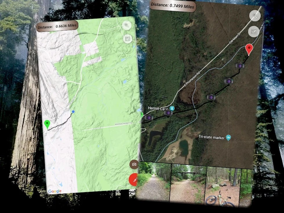
A hiking and photo sharing app where you can track your path and photo locations.
Likes
0
Views
31

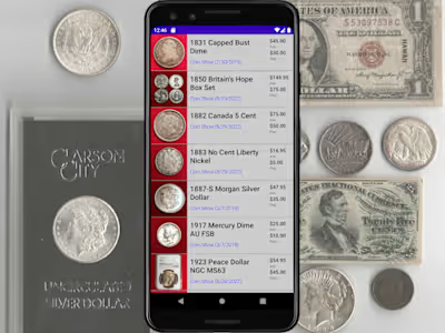
Recording Screen and Saved Trip Screen
This hiking app allows users to plot their course and mark their photo locations on a map to be saved and recalled later. Each trip route and associated photos can be sorted by date or name. Technologies and libraries include:
Google Maps and Play Services
Adobe XMP to access image metadata
Foreground location tracking
Notifications
Custom Dialogs
Picasso and other 3rd party image manipulation libraries
Tip: Try to keep this description brief and under 150 words by highlighting the best parts of this project— recruiters don’t spend much time reading detailed descriptions! 💪


