GeoWells — B2B Software Brochure

Aliza Temuri


GeoWells — B2B Software Brochure
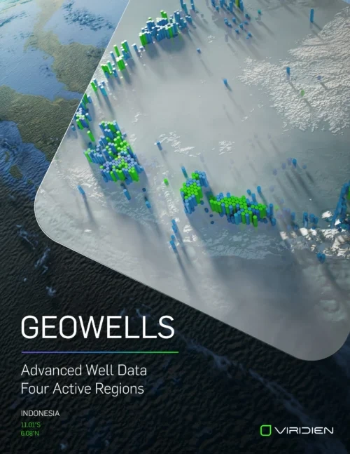
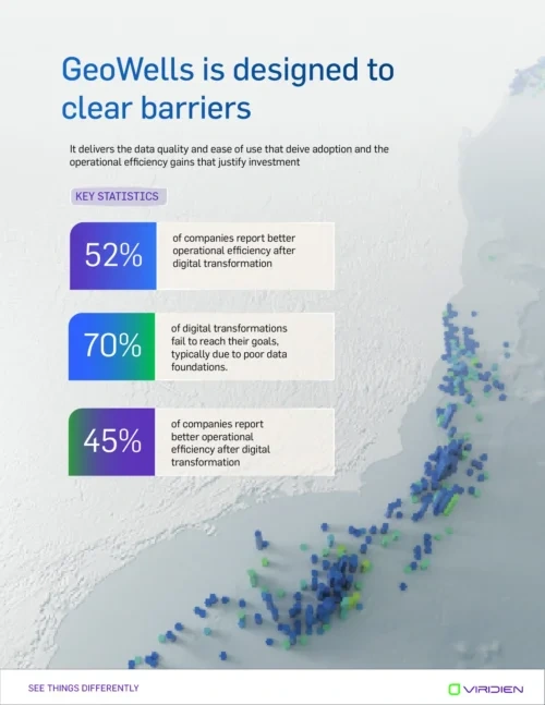
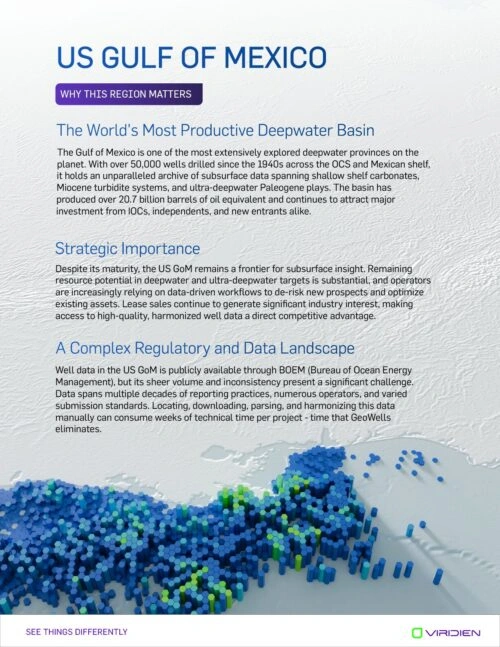
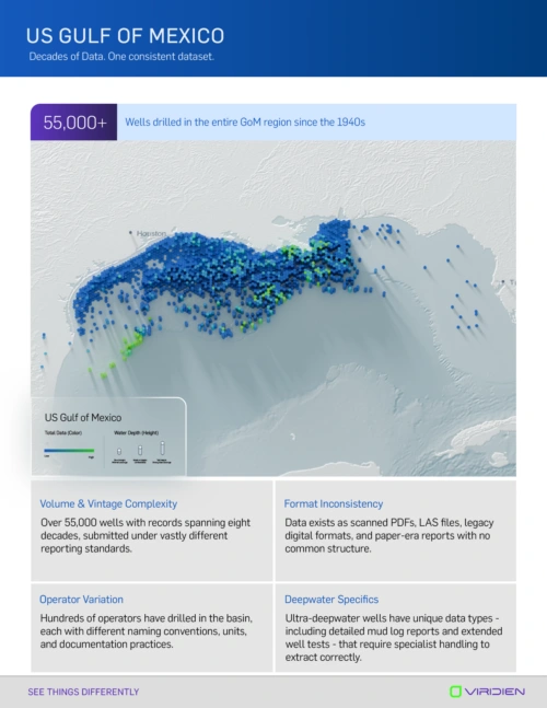
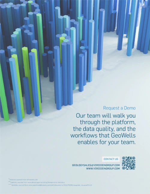
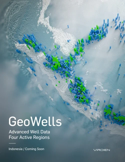
I turned real geospatial data into 3D imagery for an animated video and client brochure. I originated the concept and built the pipeline: .csv → QGIS → Blender, rebuilt as hexagonal geometry via Geometry Nodes and produced the imagery, infographics, and layouts. Developed with Viridien’s sales team and a consulting geologist.
Motion templates made for events, promotions, and more. I also made all of the 3D imagery (Globe, data and landscape) in 3D software.
Brochure Designs
I also designed every layout built around 3D imagery and infographs, composing the final pages within the Viridien visual system along with their graphic designer.
GeoWells Brochure

Mining Brochure
Case Study For GEOWELLS
Visualizing data in 3D creative software was a new process for the company. I did a lot of problem-solving through QGIS and Blender to translate real geology data into appealing 3D models.
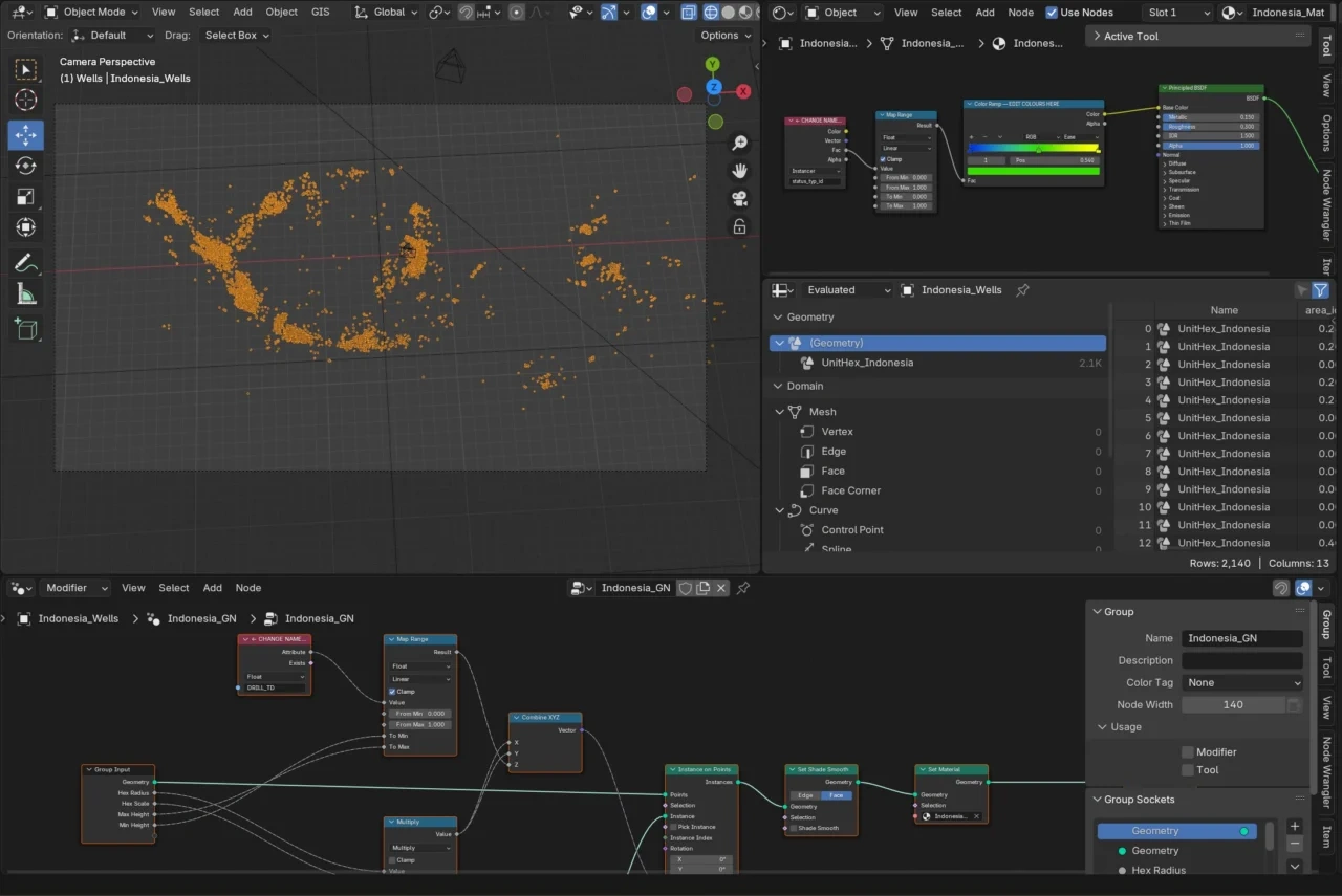
For GeoWells, I created a hexagonal grid of real wells data in QGIS and then imported it into Blender. I used Geometry Nodes to bring the data to life, using the .csv to attribute the hexagon extrusion. I also created shader attributes to color the data by frequency.
Case Study for Mining
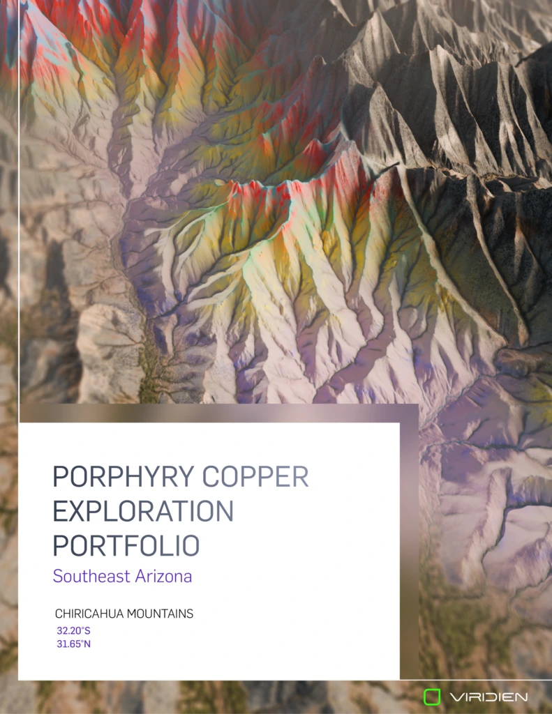
Used .tiff files from real data to problem-solve ways to bring real mining data into appealing 3D renders. QGIS and Blender was used here.
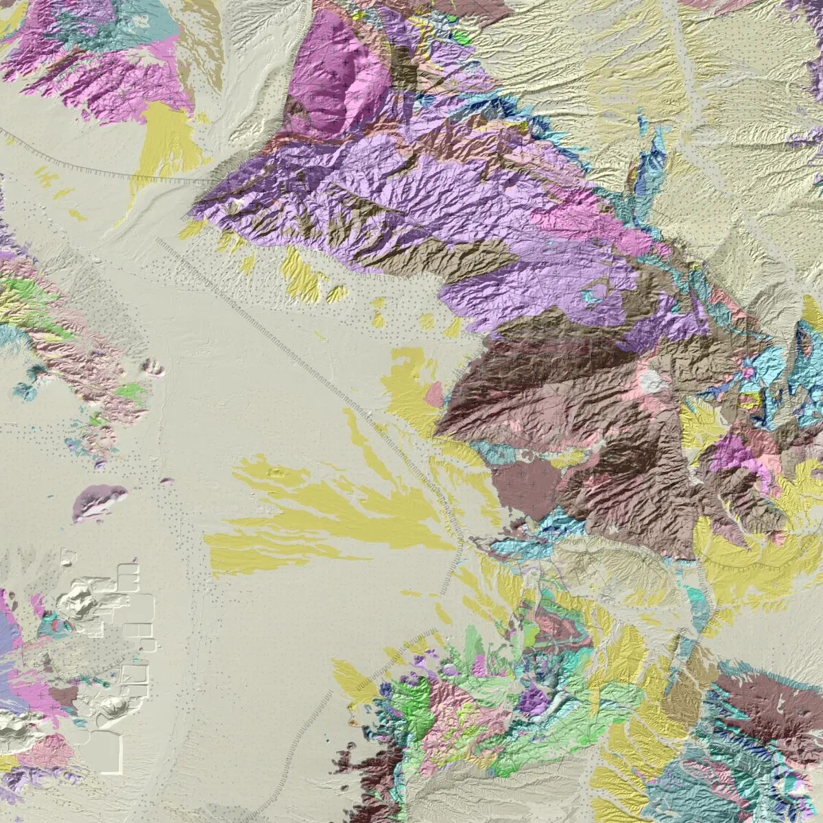
Original .geotiff file showing mining data in Southeast Arizona
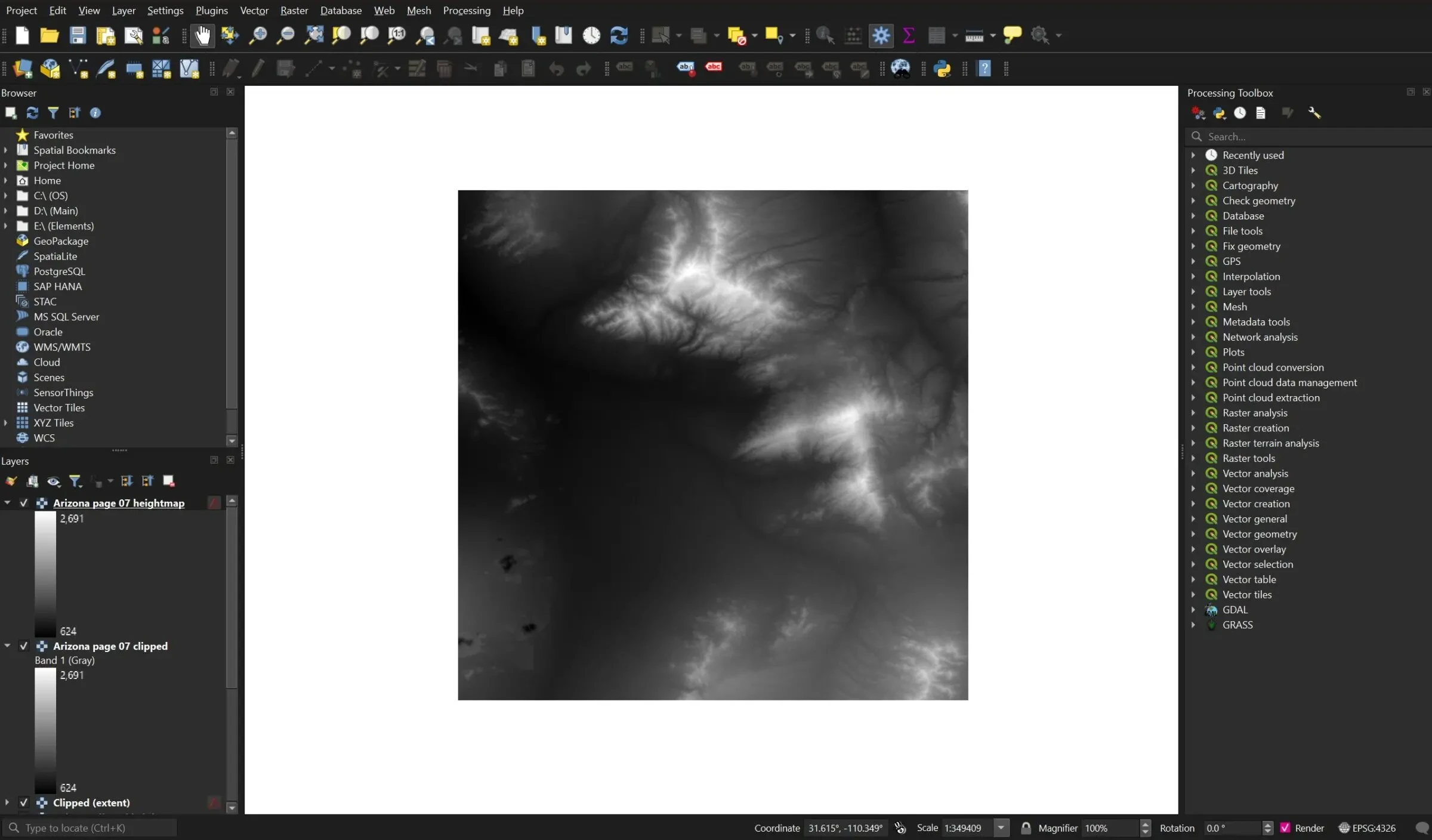
Prepared the file in QGIS over a DEM of Arizona with exact location coordinates
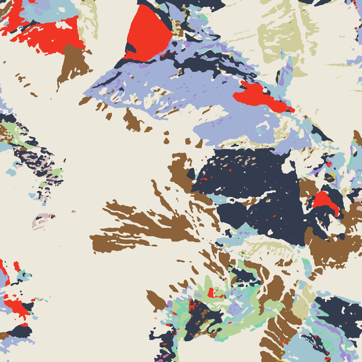
Traced .TIFF image in Photoshop of data areas only
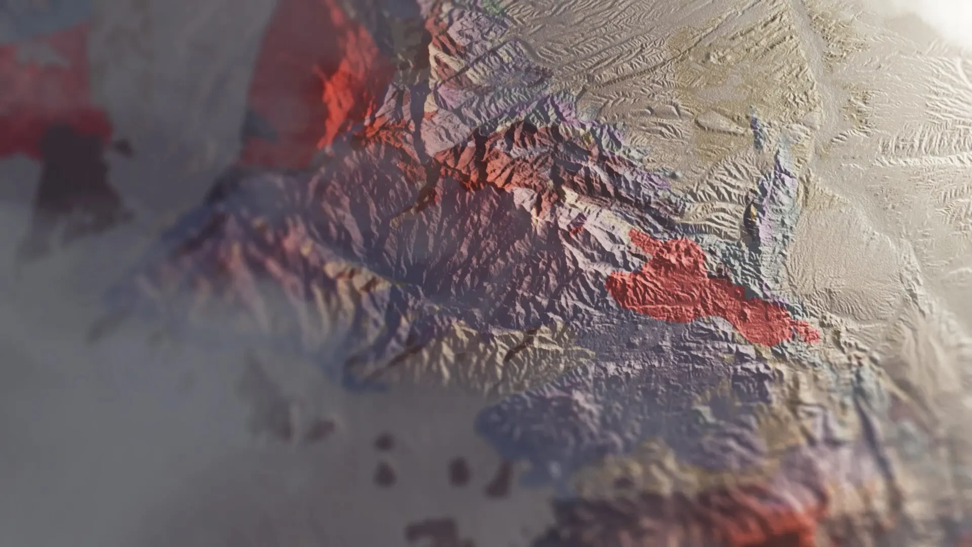
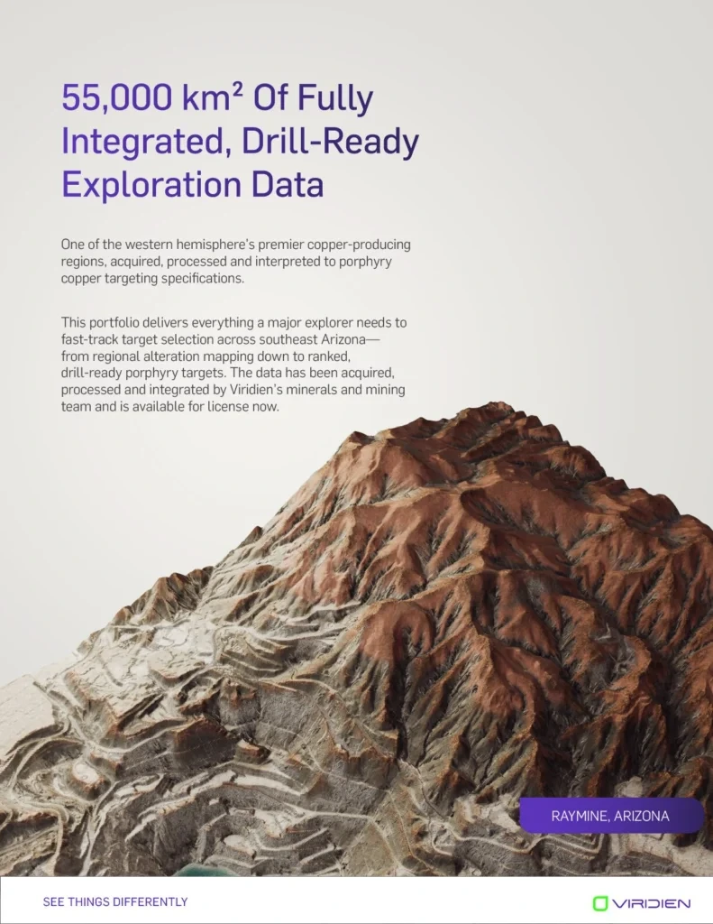
Final stage: Using the new heightmap and photoshop texture in Blender for the final image.
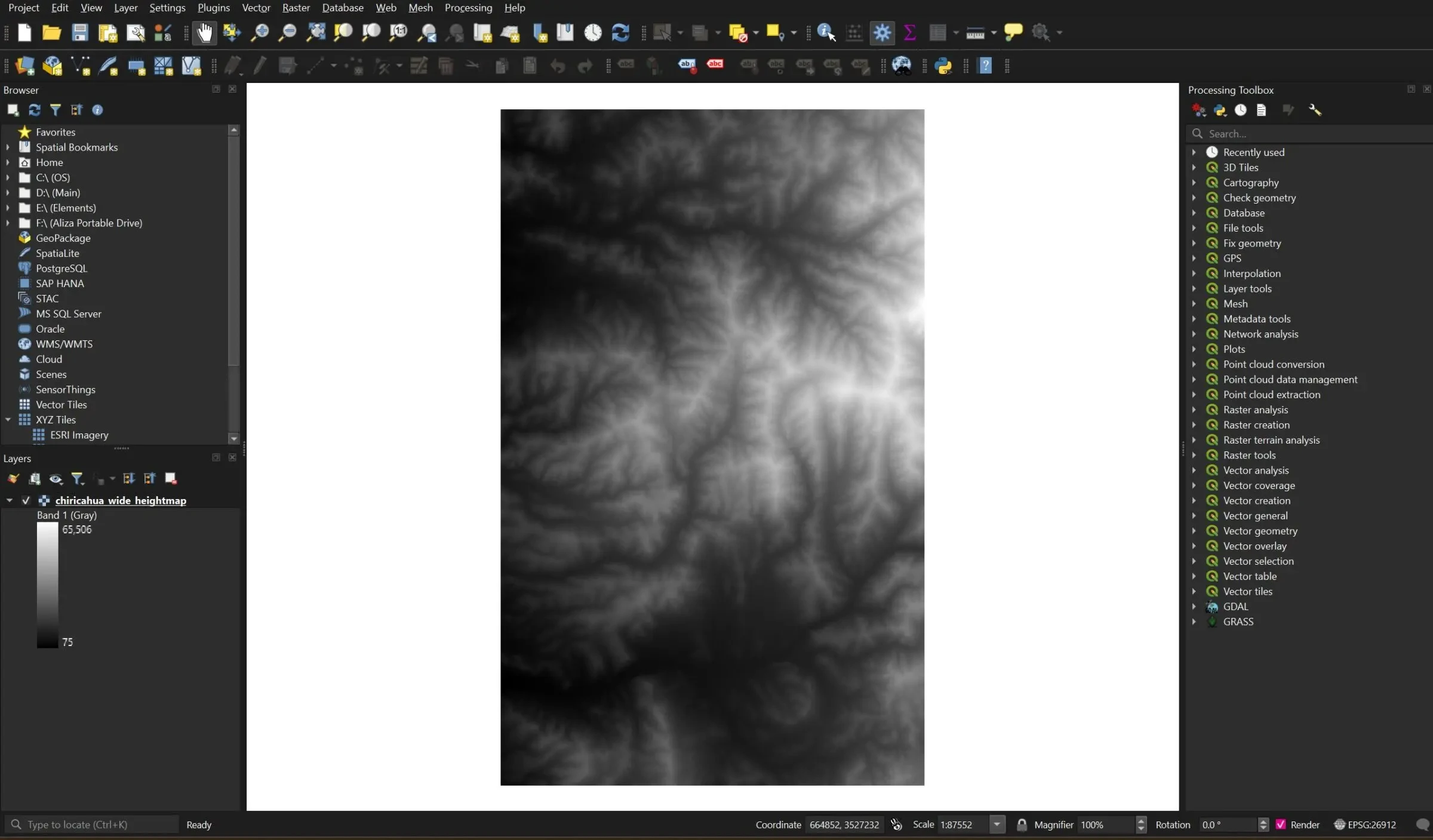
1m DEM of Chiricahua Mountains in Southeast Arizona
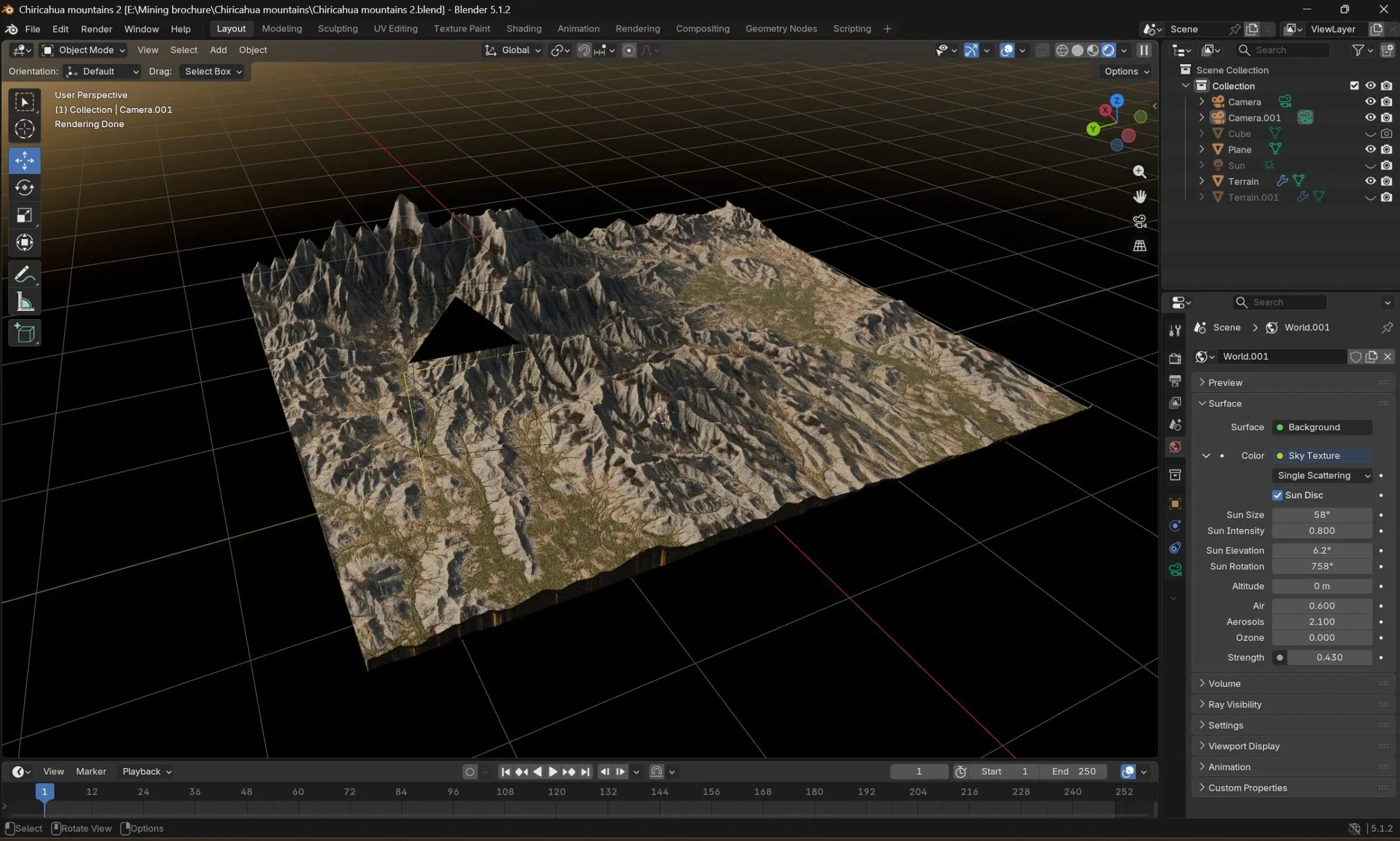
Imported into Blender and used masks and shaders to texture it as accurately as possible
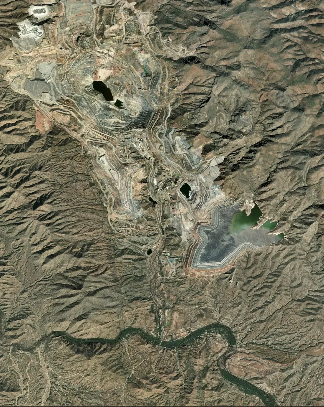
Created masks using ESRI Satellite Imagery from QGIS
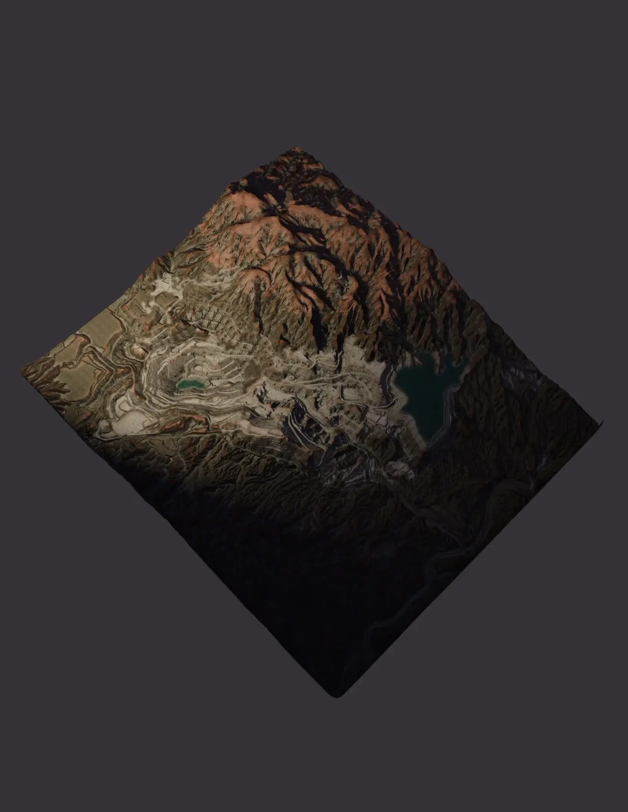
Created masks from satellite imagery to texture RayMine model as accurately as possible

Like this project