
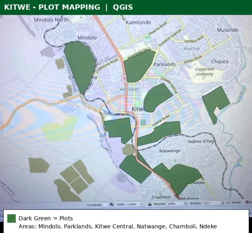
QGIS plot mapping for Kitwe, Copperbelt. Dark green polygons show mapped plots across Mindolo, Parklands, Kitwe Central, Natwange, Chamboli and Ndeke. Base map with road network and township labels. Scale 1:54000.
1 like · 0 views · Nov 13, 2026
QGIS plot mapping for Kitwe, Copperbelt. Dark green polygons show mapped plots across Mindolo, Parklands, Kitwe Central, Natwange, Chamboli and Ndeke. Base map
