The next Palantir? Let’s not

Abdulmajid A.


The next Palantir? Let’s not get ahead of ourselves 😂
But TerraScope is tackling a problem almost every operational team knows:
The information exists. It’s just scattered everywhere.
- Satellite imagery sits in one system.
- Field reports arrive through another.
- Public alerts move across social media.
- Environmental data lives on separate dashboards.
- And critical decisions are still coordinated through calls, messages and spreadsheets.
One situation. 10 tools. No shared picture.
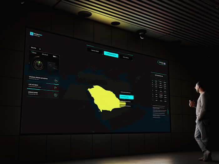
So, I’ve been building TerraScope, a geospatial intelligence and coordination platform designed to bring these scattered signals into one operational picture.
Some current services includes
- Compare satellite imagery and monitor geographic change
- Map public reports, incidents and field evidence
- Track verification, confidence and source provenance
- Monitor environmental, agricultural and security-related signals
- Ask questions across collected evidence and get cited answers
- Create watch areas and operational alerts
- Coordinate Situation Rooms and field missions
- Produce decision briefs with a clear audit trail
The goal isn’t more data. It’s clearer decisions.
TerraScope helps teams see the same picture, understand what is known, keep uncertainty visible and coordinate the next action faster.
It could support teams working across:
- Emergency and disaster management
- Infrastructure and urban planning
- Agriculture and environmental monitoring
- Security and situational awareness
- Humanitarian operations
- State and local government coordination
It’s still evolving, but it’s starting to feel real.
Like this project
Posted Jul 20, 2026
The next Palantir? Let’s not get ahead of ourselves 😂 But TerraScope is tackling a problem almost every operational team knows: The information exists. It’...
Likes
0
Views
2