
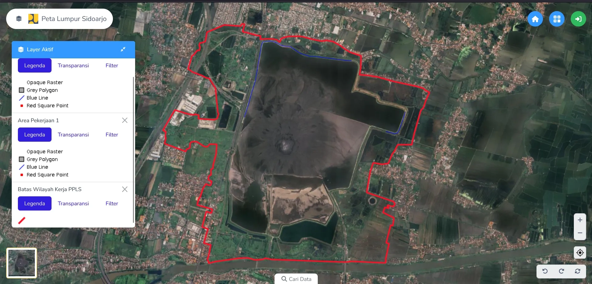
Worked on spatial interface rendering for the main web map of a spatial planning information system.
My contribution
• Improved the clarity of land zoning polygons to support urban planning document validation.
Focus: web map interfaces, zoning polygons and spatial planning.
Project context: Dinas Pekerjaan Umum Kabupaten Sidoarjo • August 2024 - August 2024.
0 likes · 0 views · Oct 20, 2026
Worked on spatial interface rendering for the main web map of a spatial planning information system.
