Household Mapping
Project description
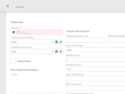
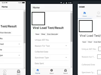
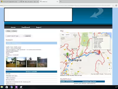
A household mapping information management system is a software application that allows users to create, store, and visualize spatial data related to households and their characteristics. This system is used for, planning, monitoring, evaluation, and decision-making. This system consists of three main components: a database, a geographic information system (GIS), and a user interface. The database stores the household data and attributes, such as location, size, income, education, health, etc. The GIS enables the spatial analysis and visualization of the household data on maps, charts, graphs, and reports. The user interface provides the functionality and tools for the users to interact with the system and perform various tasks, such as data entry, editing, querying, filtering, exporting, etc.
Like this project
Posted Jan 29, 2024
A household mapping information management system is a software application that allows users to create, store, and visualize spatial data related to households
Likes
0
Views
1


