Map of downtown George Town, Grand Cayman
Rafael Pla Delgado
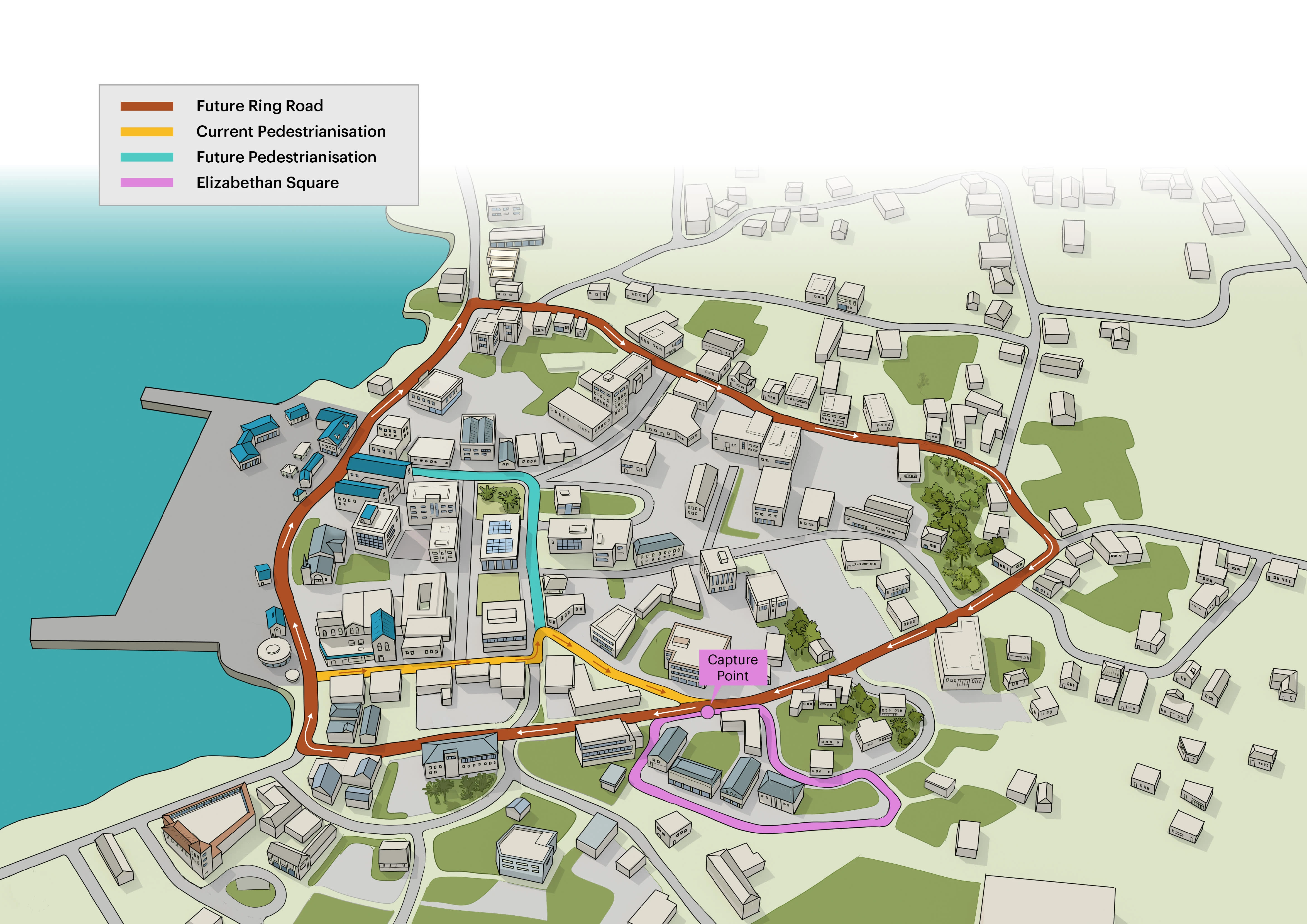
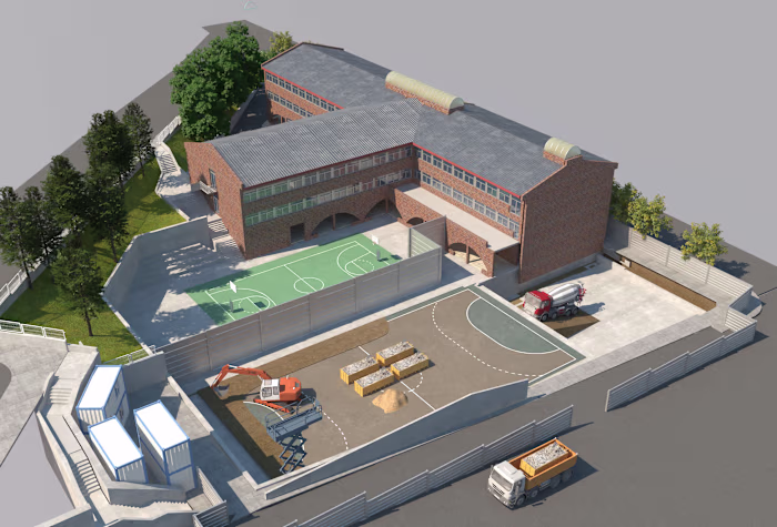
The infographic was created from a 2D layout using Google Maps; this 2D drawing was then imported into 3DS Max to render a 3D perspective, and finally the render was used as a base to illustrate the final image; all the buildings were drawn one by one, along with the main roads, parking lots and green areas.
Like this project
Posted Aug 5, 2024
3D illustration of George Town in which Google maps was mainly used as a reference source. The illustration was done freehand using a 3D perspective as a base).
Likes
0
Views
3