Projects using Mapbox
Projects using Mapbox
Sign Up
Post a job
Sign Up
Log In
Filters
1
Projects
People
Message
11
Hakeem Framer
max
Gallery | Figma to Webflow Development
11
385
Message
13
Max Chechel
max
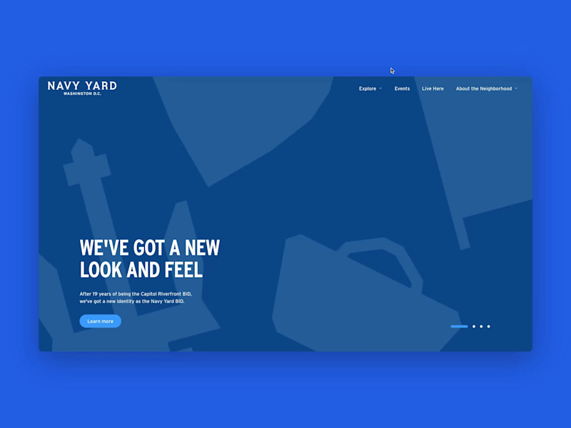
Navy Yard DC Webflow site
13
336
Message
2
Daniel Afaqi
max
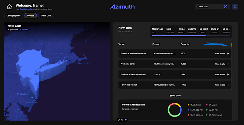
3D Dashboard Development - 01
2
97
Message
1
Anastasia Kavzovich
Airbnb-like Platform Prototype Development
1
20
Message
1
Santosh S
Notable | Memory & Life Archive Platform
1
51
Message
0
Ahmad Anis
FAB ERP System Development
0
10
Message
5
Toolshed (Data, Automation, AI Agents, Buildship, Framer)
max
Nivio Optimize Route Planning Tool Development
5
30
Message
1
Joseph Zinych
E-logistics Platform
1
18
Message
1
Jay Forth
Next-Gen Real Estate Platform for Smarter Home Buying & Selling
1
16
Message
0
Mac Gotsch
Local Events and Deals App Using Next.js 15, Mapbox, and Prisma
0
24
Message
0
Rafa Gutierrez
Weather Broadcasting Bot
0
25
Message
0
Dustin Rowley
Point2Homes(House Rental Service)
0
18
Message
2
Imad Dhin
max
OTW On Demand Assistance Solution
2
138
Message
0
Georgia Tsiouli
pro
Shopify Partner for Bache Studio
0
0
Message
2
Yalcin Web
pro
Turning "Where Is It?" Into the Best Page on the Site — 3D Mapbox Experience for an Austrian Alps Studio A custom-built 3D interactive map experience for Wilderness Studios, a recording & event studio in the Austrian Alps. Built on Mapbox GL + @Webflow CMS: animated terrain, a drawn arrival route, live travel directions, and 96 curated points of interest — all editable by the client. What I built A full-screen, cinematic 3D map page that replaces the usual "Location & Contact" section — one continuous experience with two modes: The Location and The Surroundings. 1. Cinematic 3D terrain Mapbox GL JS with custom dark terrain styling, exaggerated elevation and a hand-tuned camera. The page opens on a wide alpine shot with the studio marker sitting in the valley — the mountains do the storytelling before a single line of copy is read. 2. Animated arrival route Instead of listing distances, the route draws itself across the terrain from the nearest town to the studio, with the camera flying along it. Every marker, label and stat fades in on its own timeline, so the whole intro reads as one choreographed shot rather than a map that happens to load. 3. Live directions panel Airports, train stations and motorway exits with distances and drive times, each one selectable — pick Innsbruck Airport and the map re-frames to that leg of the journey. "Get Directions" hands off to native maps for the actual trip. Stack Webflow (structure + CMS) · Mapbox GL JS (3D terrain, custom style, markers, route layers) · GSAP (camera choreography, sequenced reveals) · vanilla JS (CMS → GeoJSON pipeline, category filtering, gallery, state between the two modes)
2
2
1.8K
Message
1
Elvis Lopez
pro
The team at Kue and I recently had the opportunity to work with The Sloth Conservation Foundation (https://www.slothconservation.org/) 🦥. Who doesn't love those sweet little faces 🥹. One of the cool things we build was an interactive map using Mapbox where donors can easily track the day to day activities of the sloth they have adopted ❤️. Mapbox is so clutch and versatile when it came to this task. We were able to attach the map to a Google Sheet where our client can easily update the information on their end and it would automatically sync up with Mapbox. Such a fun project!
1
417
Explore projects