


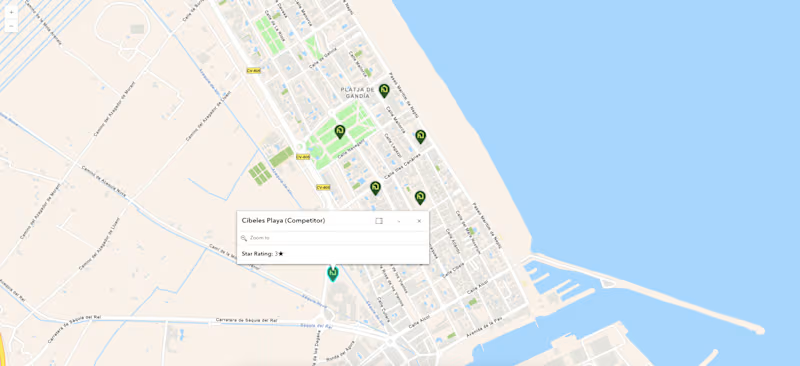
🗺️ Map design is where technical GIS data meets user adoption. For this ArcGIS API project, we engineered a dynamic spatial intelligence tool—featuring custom polygon territories, real-time geocoded competitor benchmarking with interactive popups, and clean SVG pin UI layers. Result? Clients turn complex competitor metrics into clear, actionable site selection insights instantly ⚡
3
5
484
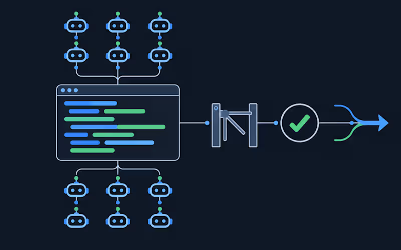




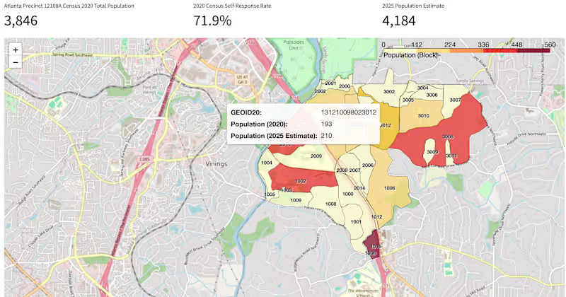
🏔️ Most organizations sit on mountains of spatial data they can't interpret fast enough. For the Census Map Application, we didn't just digitize demographic data—we built an automated spatial intelligence layer using 🤖 AI to turn raw census boundaries into real-time predictive insights 📊. Result? Decision-makers cut territory planning time from days to minutes ⚡
1
140