The network for creativity
Join 1.25M professional creatives like you
Connect with clients, get discovered, and run your business 100% commission-free
Creatives on Contra have earned over $150M and we are just getting started
Back to feedPost

Designed an academic presentation on GIS-based deforestation mapping using NDVI and satellite imagery. The presentation explains indices-based classification, the use of Landsat data, NDVI calculation, vegetation classification, and land-cover changes between 2002 and 2013 in Hazara District, Pakistan. I organized the technical information into a clear visual flow using maps, comparison tables, charts, step-by-step process slides, and practical applications to make a complex remote-sensing topic easy to understand.


The network for creativity
Join 1.25M professional creatives like you
Connect with clients, get discovered, and run your business 100% commission-free
Creatives on Contra have earned over $150M and we are just getting started




Related posts

I joined Contra just a week ago and have mostly shared the client branding work I do through Mariya Design.
But I haven't properly introduced the other branch of my practice yet:
Color Systems by Mariya.
It started from something I kept running into in brand and packaging work: a color palette can look beautiful and still be surprisingly difficult to use.
So I began building systems around color instead of collecting combinations.
Today that includes:
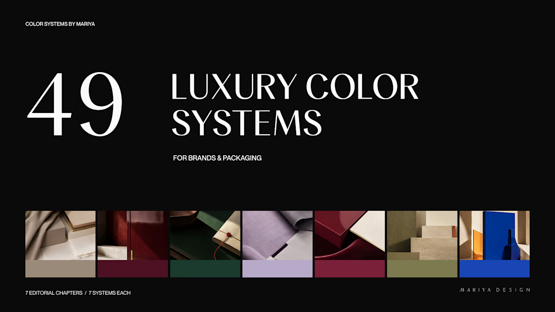
/49 Luxury Color Systems
Role-led color systems for branding and packaging.
/365 Cultural Color Palettes
A growing archive of color directions inspired by places, objects, materials and visual culture around the world.
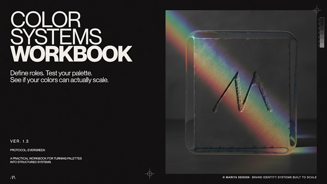
/Color Systems Workbook
A free tool for turning color inspiration into a usable system.
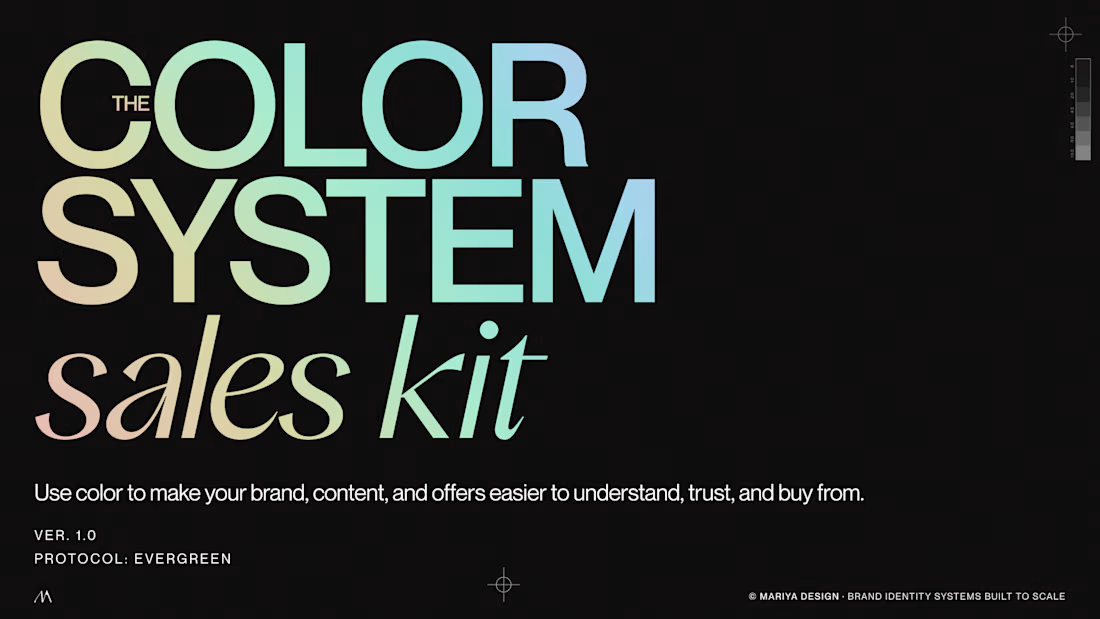
/Color System Sales Kit
A practical tool for designers presenting and selling color direction to clients.
I'll share some of the systems, visual references and thinking behind them here over the next few weeks.
If you're a designer, brand strategist or just slightly obsessed with color, this side of my work is probably for you.
Color Systems by Mariya
mariya.design/color-systems




Does presenting more design options actually give clients more freedom?
I’m starting to think the opposite can happen.
If I present 5 directions, the client now has to decide which one they like. If I present 1–2 strong, well thought-out directions, I’m also showing them what I think the brand needs.
For me, the number of options is part of the design process itself.
How many directions do you usually present to a client?

One or two, never five. Five options is not freedom, it is homework you handed the client. One or two strong directions says I made the hard calls for you, which is what they are actually paying for. Choice is a burden dressed up as a courtesy.

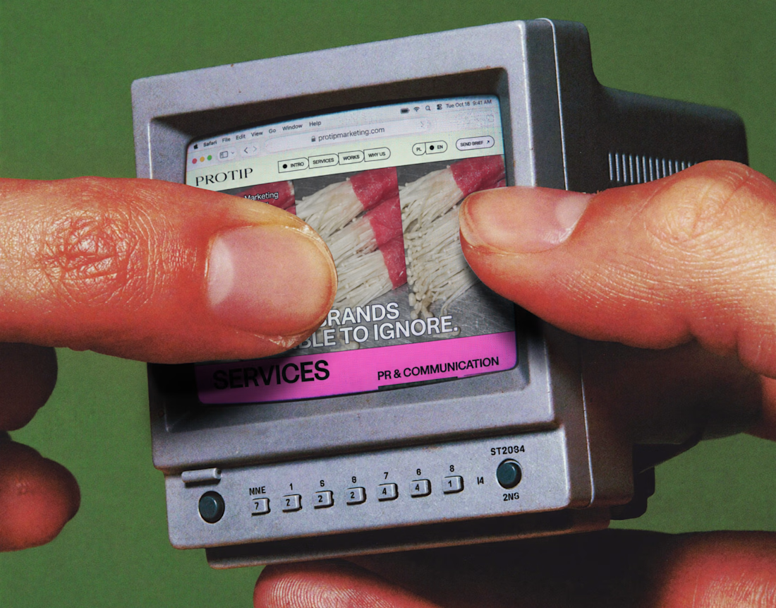
New Project — Influencer Marketing Website Redesign & Development for Protip Marketing
Protip Marketing came to us with an opportunity to rethink how its influencer marketing business was presented online.
The redesign focused on creating a clearer connection between the brand, its services and the people looking to work with them.
We worked across both design and development, refining the experience around:
— Brand presentation
— Content hierarchy
— Service discovery
— Responsive UX
— Conversion paths
— Front-end development
The result is a more structured and confident website designed for a business operating in the fast-moving creator and influencer marketing space.
Services: UI/UX Design · Website Redesign · Web Development · Responsive Web Design · Marketing Website
Designed & developed by WaxyWeb.
Need a website that better represents your business?
marketingwebsitewebsiteredesignagencywebsitedesignUI DesignUX DesignFigmaHiggsfield AIGraphic Design


Excellent job!