The network for creativity
Join 1.25M professional creatives like you
Connect with clients, get discovered, and run your business 100% commission-free
Creatives on Contra have earned over $150M and we are just getting started
Back to feedPost

High-fidelity 3D terrain visualization and regional GIS mapping of Montenegro.
This project demonstrates advanced spatial design and processing of satellite imagery combined with digital elevation models (DEM). Focused on strict topographical accuracy, precise coastal outline of the Adriatic Sea, and realistic mountain relief modeling built for large-scale infrastructure masterplanning and regional asset presentations.


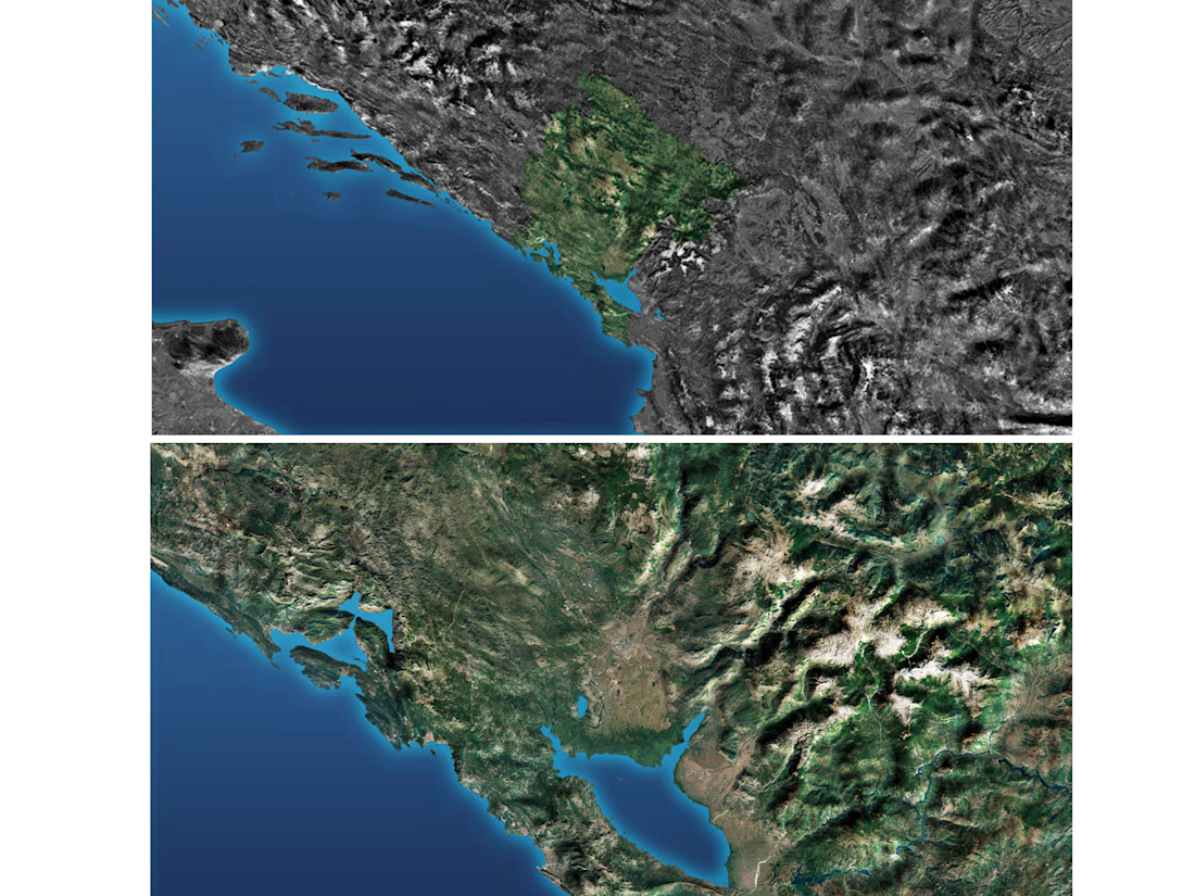

Amazing work on this Montenegro map! The relief details and the coastline precision look absolutely beautiful. Very high-quality work.
The network for creativity
Join 1.25M professional creatives like you
Connect with clients, get discovered, and run your business 100% commission-free
Creatives on Contra have earned over $150M and we are just getting started











Related posts


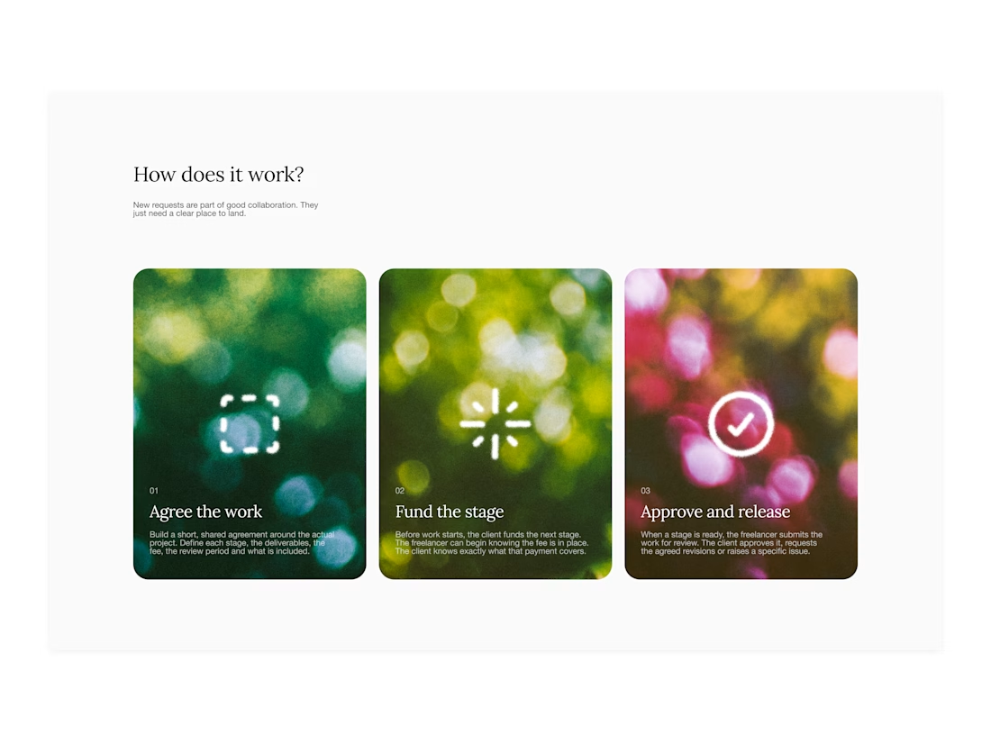

Your web sections always have such strong art direction. Great to see the brand carried right into the layout.

I’ve been working on a bold, modern-retro logotype and can’t decide between these two options.
🆘 Which one feels more aesthetically pleasing to you?
11 voted
26%

31 voted
74%

42 votes
Closed

CAPITAL is great but SMALL is unique great job Nawras 🔥🔥

When Typography Breaks the Rules. 🖤
Bold 3D lettering, dramatic shadows, and twisted perspectives turn typography into an experience you can’t ignore.
Would you call this art or an obsession?
3dtypographymotiondesignexperimentaldesignGraphic DesignMotion DesignTypographyAdobe After EffectsAdobe IllustratorCinema 4D


That's really great Saleha it's unique I like it ❤️❤️❤️