The network for creativity
Join 1.25M professional creatives like you
Connect with clients, get discovered, and run your business 100% commission-free
Creatives on Contra have earned over $150M and we are just getting started
Back to feedPost
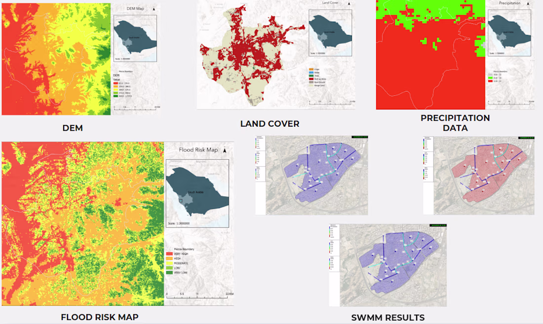
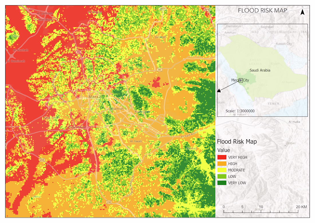
This project maps flood risk across Makkah City using GIS analysis, remote sensing, and hydrological modeling. I combined a 30m SRTM DEM, land cover classification, slope analysis, precipitation data, and SWMM simulations into a weighted overlay that classified the entire city into five flood risk levels. The final static map was featured by Al Yaum, a Saudi national newspaper.
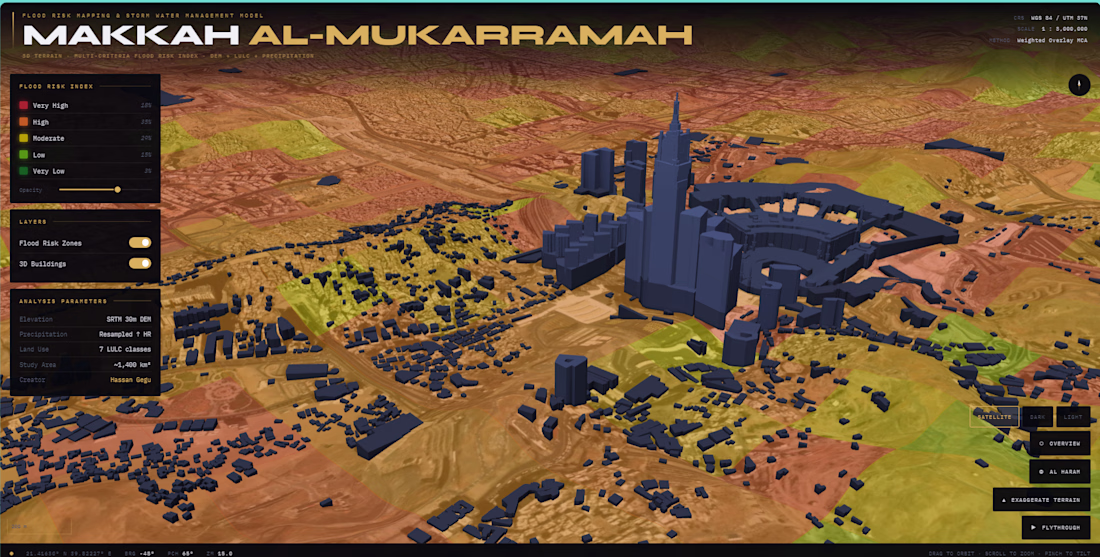
I later converted the analysis into a fully interactive 3D web map using Mapbox GL JS. The app renders live SRTM terrain with adjustable exaggeration, extruded 3D buildings, and classified risk zone overlays that users can filter by class directly from the legend. It also includes a cinematic six-waypoint flythrough of the study area, fly-to presets for key locations including Al Haram Mosque, and basemap switching between satellite, dark, and light modes. The entire application runs as a single HTML file with no build tools or dependencies, deployed on Vercel.
The network for creativity
Join 1.25M professional creatives like you
Connect with clients, get discovered, and run your business 100% commission-free
Creatives on Contra have earned over $150M and we are just getting started
Related posts
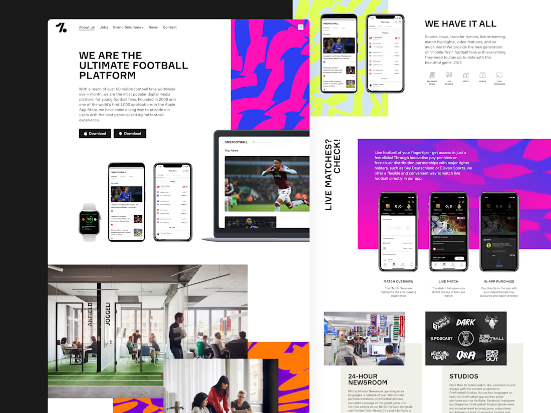
A throwback to when I designed the new Onefootball website! It was a honor to be able to work with the brand designed by DesignStudio!
Great work! The bold colors and layout really capture the energy of football while keeping the interface clean and easy to navigate. Awesome project
I’m currently building a hairstylist discovery platform (web app) focused on making it easier to find and book hairstylists without relying on social media.
The platform includes search, stylist profiles, portfolios, and a structured booking request system.
I already have a full product outline, wireframes, and user flows prepared. I’m now looking for a UI/UX designer to bring this to life in Figma with a clean, modern, and intuitive SaaS-style design.
Scope (Phase 1):
Landing page
Search & filtering experience (with optional map view)
Stylist profile & portfolio
Booking flow (structured request system)
Basic dashboard views
Looking for:
Strong experience in web app / SaaS design
Ability to think through user flows and structure, not just visuals
Clean, modern, minimal design style
Experience creating interactive Figma prototypes
I’ll share full wireframes, diagrams, and detailed product logic with shortlisted designers.
Please share relevant web app or platform work when applying.
I can refer someone for this project.
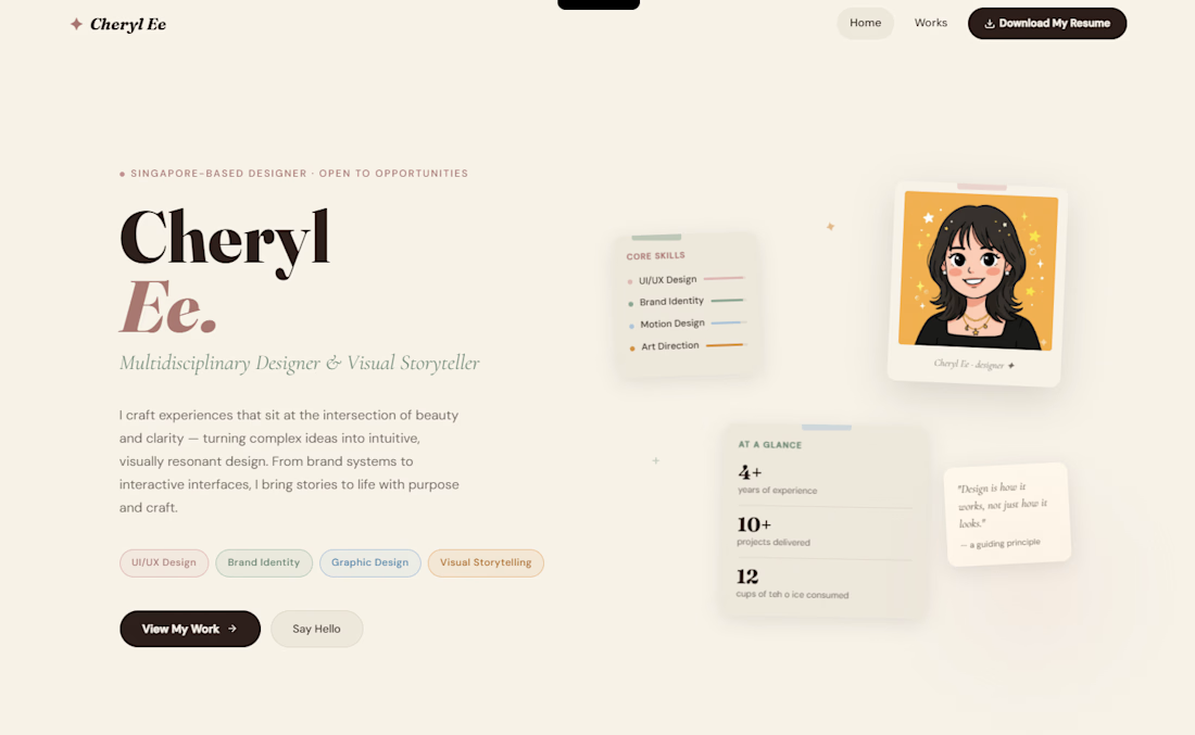
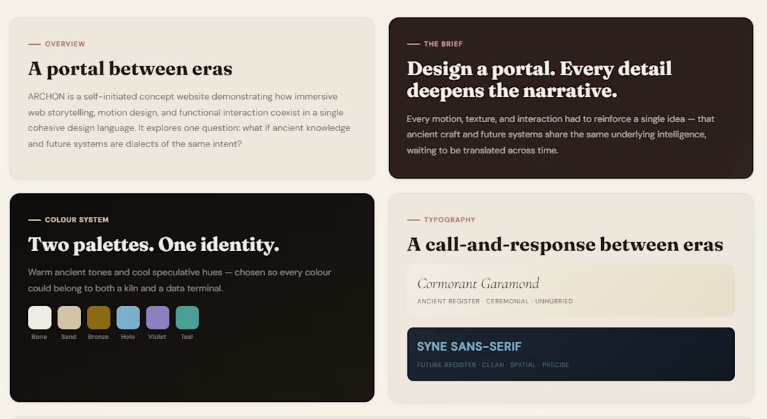
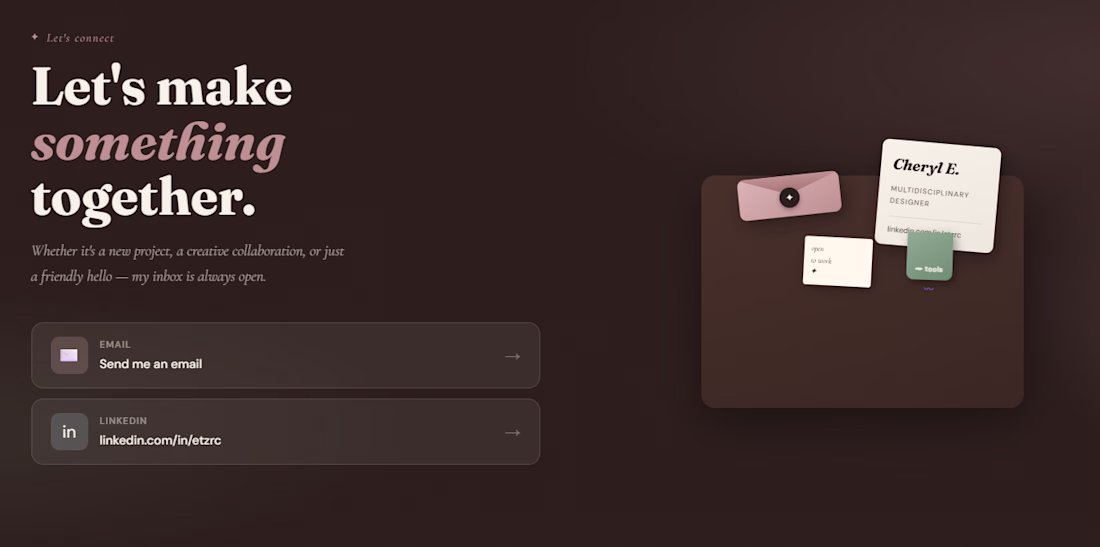
Recently, I’ve been working on improving my portfolio and getting it ready for launch.
Been refining the overall design, polishing my case studies, and learning more about deploying it properly through GitHub and Vercel. Still tweaking a few things, but it’s been fun seeing it come together bit by bit. These are some early looks at the loading screen, hero section, selected works layout, and contact page as I continue refining the experience.
Still a work in progress, but I’m enjoying the process of bringing it all together bit by bit.
Outstanding work
Challenges
View allFuser Co-create
$5K4h 19m left345 participants
Morphic Workflows
$10K3d left272 participants
Zo Computer Challenge
$10K3d left561 participants
Anything Ship & Sell Remixathon
$10K10d left195 participants
Impossible UI with Rive
$10K10d left125 participants
Runway $100k Big Pitch Challenge
$100K10d left196 participants
Trending
Runway
AI video generation is exploding. What are you dreaming up in Runway?
Contra University
Learn from expert creatives how to earn more using next-gen AI tools.
creativeaiflow
Creative AI workflows are evolving. What tools do you use, and what are their strengths and weaknesses?
portfolioreview
The best portfolios tell a story, not just show a grid. Share yours for feedback.
freelancerlife
Freelancer life is wins, pivots, and everything in between. What’s yours right now?