The network for creativity
Join 1.25M professional creatives like you
Connect with clients, get discovered, and run your business 100% commission-free
Creatives on Contra have earned over $150M and we are just getting started
Back to feedPost


Illustrated Map of Walcheren, Zeeland
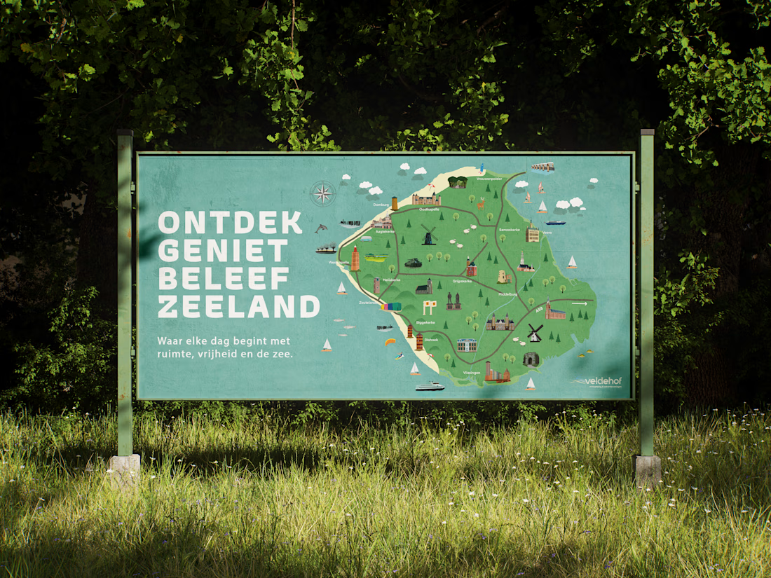
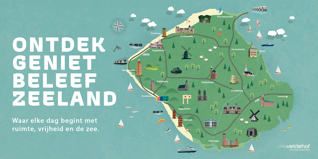
I was commissioned by Addmark to develop an illustrated map of Walcheren, Zeeland, for Veldehof. The challenge was to develop a geographic area into an engaging visual experience that could communicate places, landmarks, landscapes, and local activities in a way that feels approachable and memorable.
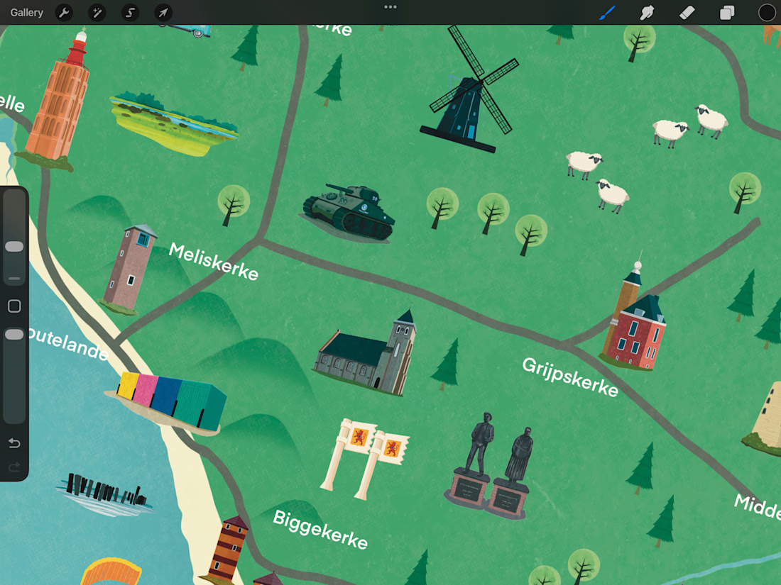
I developed a custom illustrated landscape combining recognizable towns and architecture with coastal elements, beaches, roads, waterways, windmills, nature, wildlife, and recreational activities. Each element was individually illustrated and arranged to create a cohesive visual journey across the region.
Rather than aiming for strict cartographic accuracy, the map uses simplified geography and illustrated storytelling to make the region easier and more enjoyable to explore.
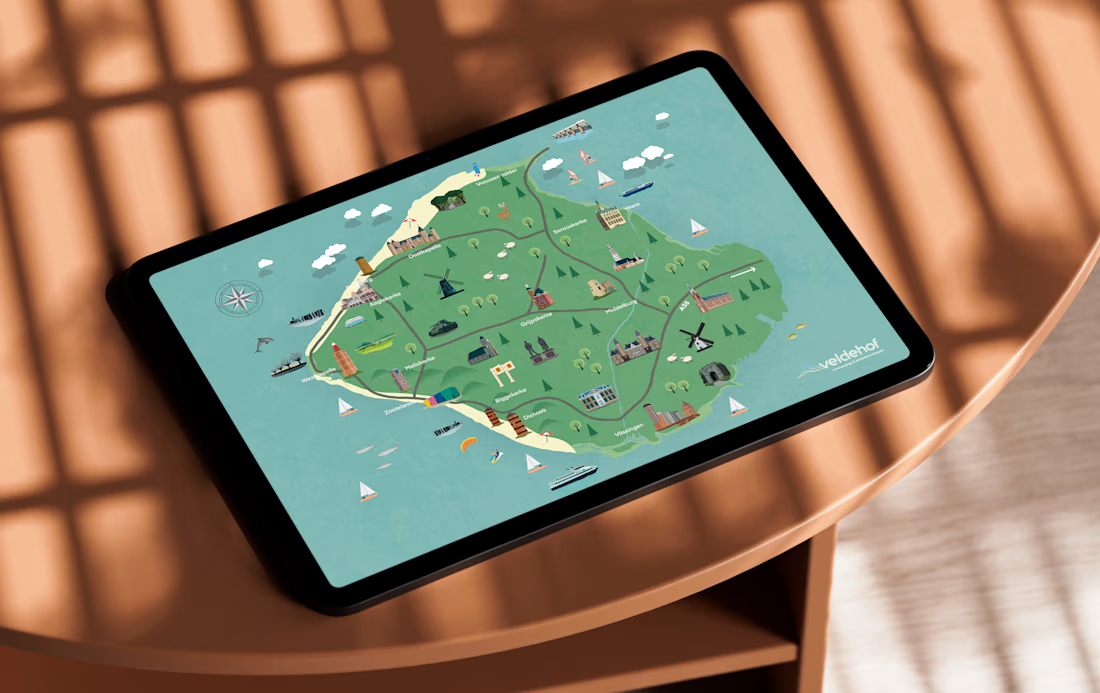
The final illustration was created for Veldehof, a destination in Zeeland, and brings together the surrounding area into a single visual map that can be used as both an informative guide and a piece of destination-focused artwork.
The result is a map designed to make people curious about the region and encourage them to explore what is around Veldehof.
Agency: Addmark
For: Veldehof
Role: Illustration & Map Design
Location: Walcheren, Zeeland, Netherlands


The network for creativity
Join 1.25M professional creatives like you
Connect with clients, get discovered, and run your business 100% commission-free
Creatives on Contra have earned over $150M and we are just getting started









Related posts

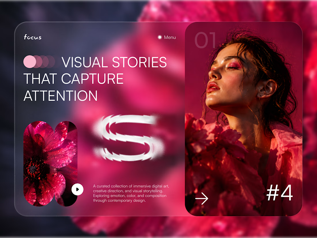
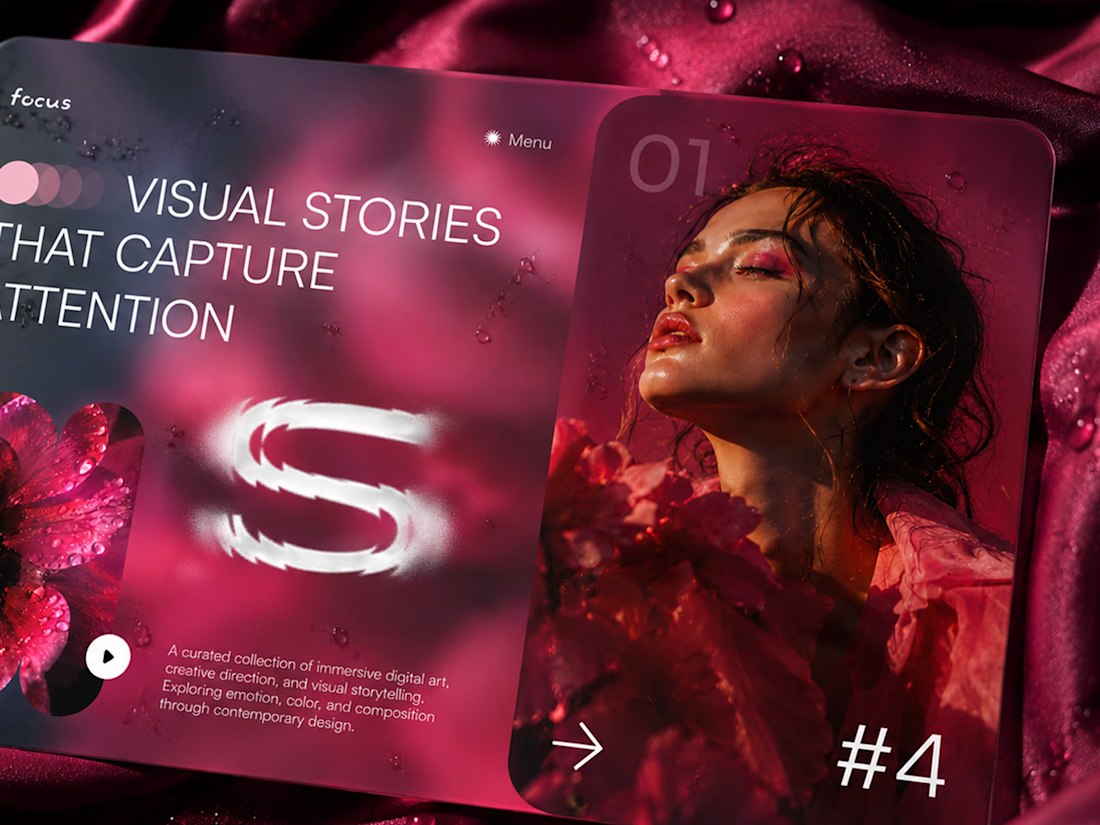
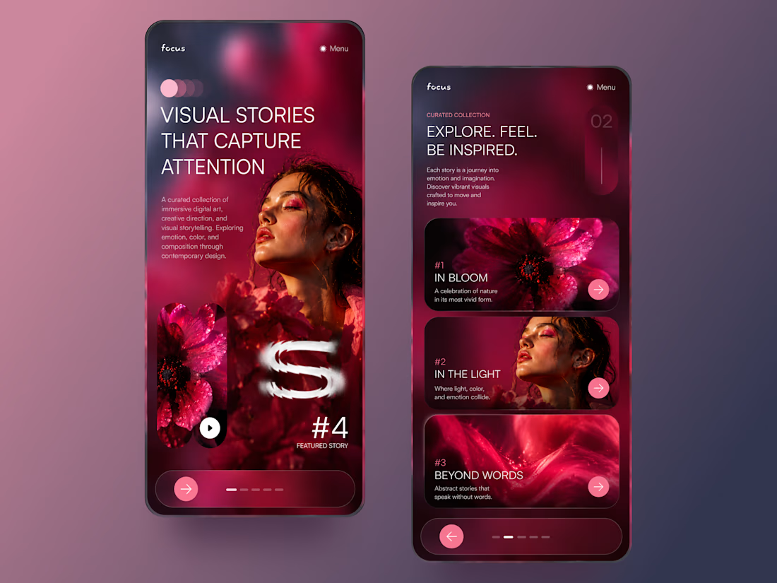
FOCUS — Creative Portfolio & Digital Art Website 🌸✨
A visually expressive website concept for a creative portfolio, built around digital art, bold imagery, and visual storytelling
The design combines vibrant pink tones, soft gradients, experimental typography, and immersive photography to create a distinctive editorial experience
Special attention was given to:
• Bold editorial hero composition
• Vibrant pink and dark color palette
• Experimental typography and visual details
• Immersive photography and digital artwork
• Creative project gallery and navigation
• Responsive mobile experience
• Clean layouts with a strong visual identity
The result is an expressive digital experience that puts creativity, emotion, and visual storytelling at the center of every screen 💗
Looking to create a standout portfolio or website for a creative brand? Let’s connect 🚀



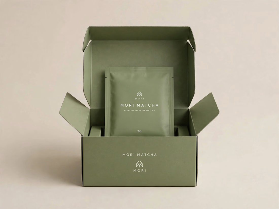
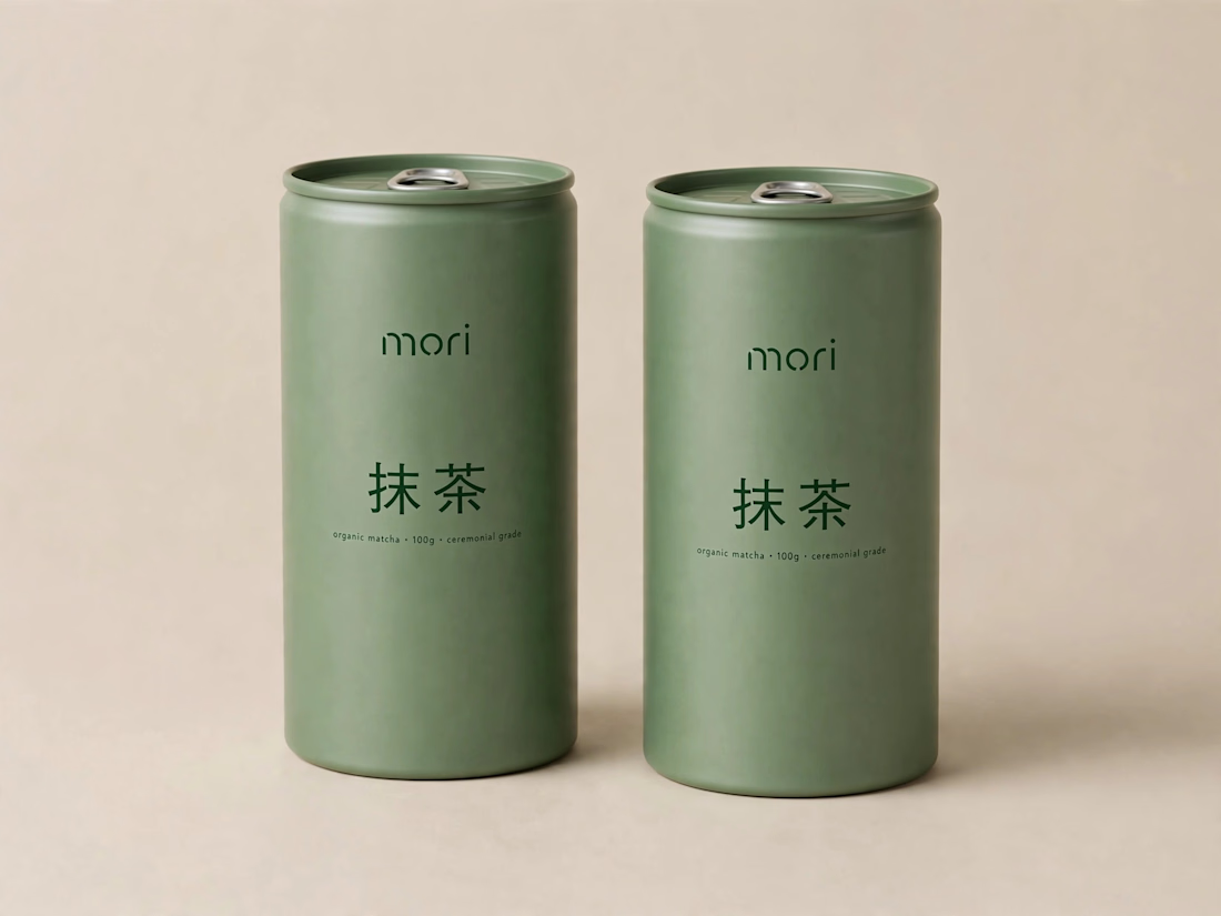
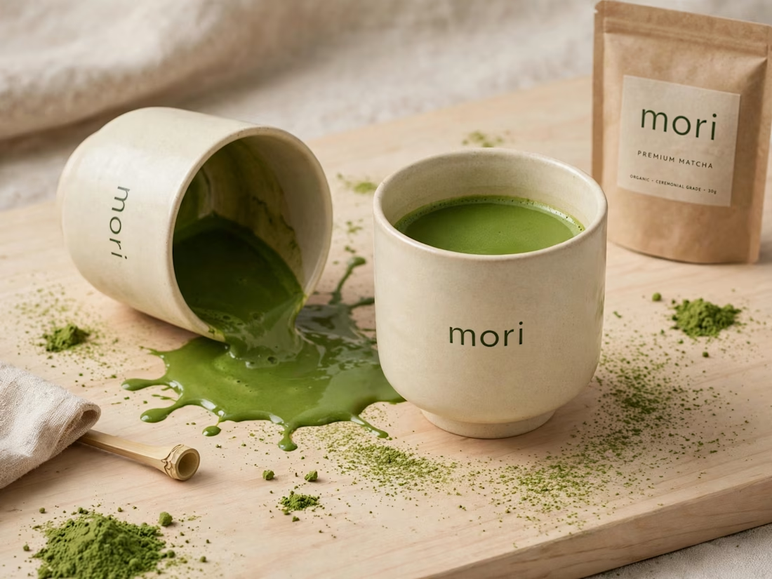
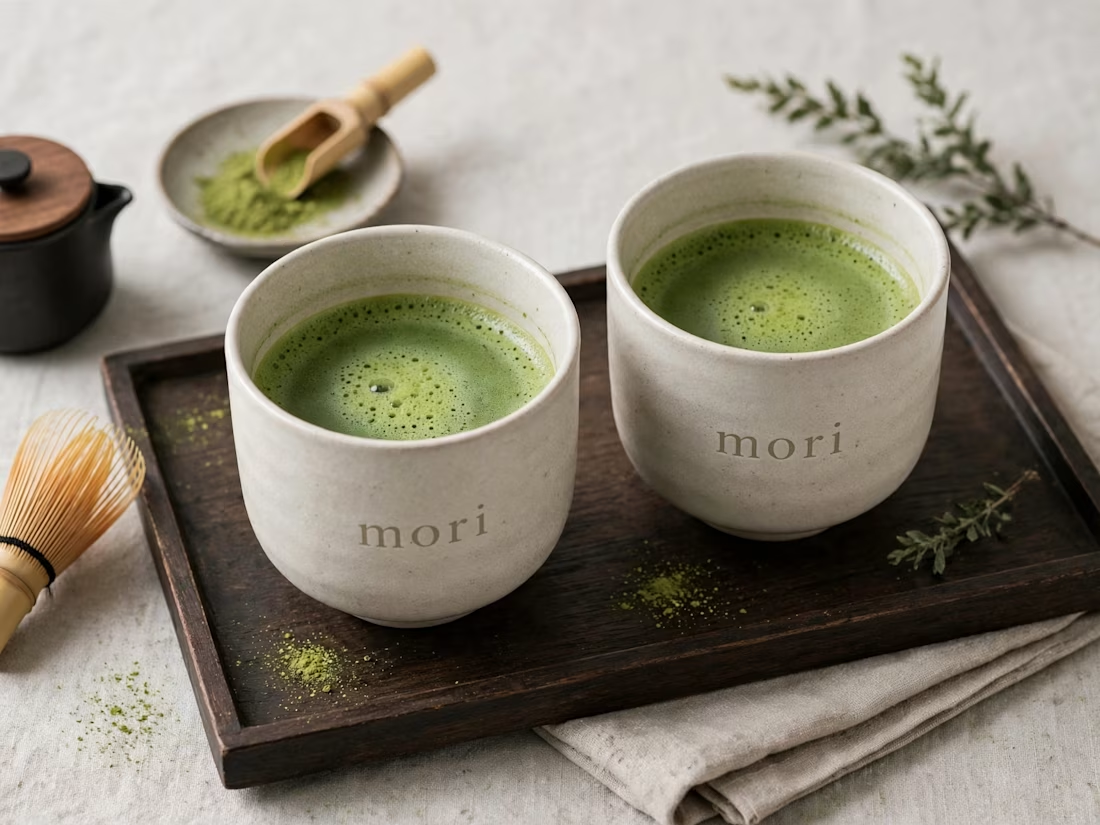
more visuals from my latest project — mori matcha 🍵
explored minimal Japanese packaging with earthy greens and calm typography.
focusing on premium ceramic cups and clean can design.
#branddesign #packagingdesign #visualidentity #brandstrategy #matcha #minimaldesign #japanesedesign #figma #mockup #branding



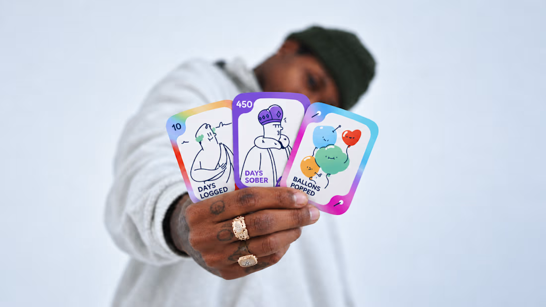
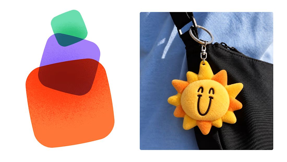
Most early-stage brands play it safe and disappear after a while. For Drylendar, I did the opposite.
3 weeks from brief to full identity: logo, illustration system, app visuals, collectible cards and even merch.
AI makes things cheaper. Personality makes brands memorable.
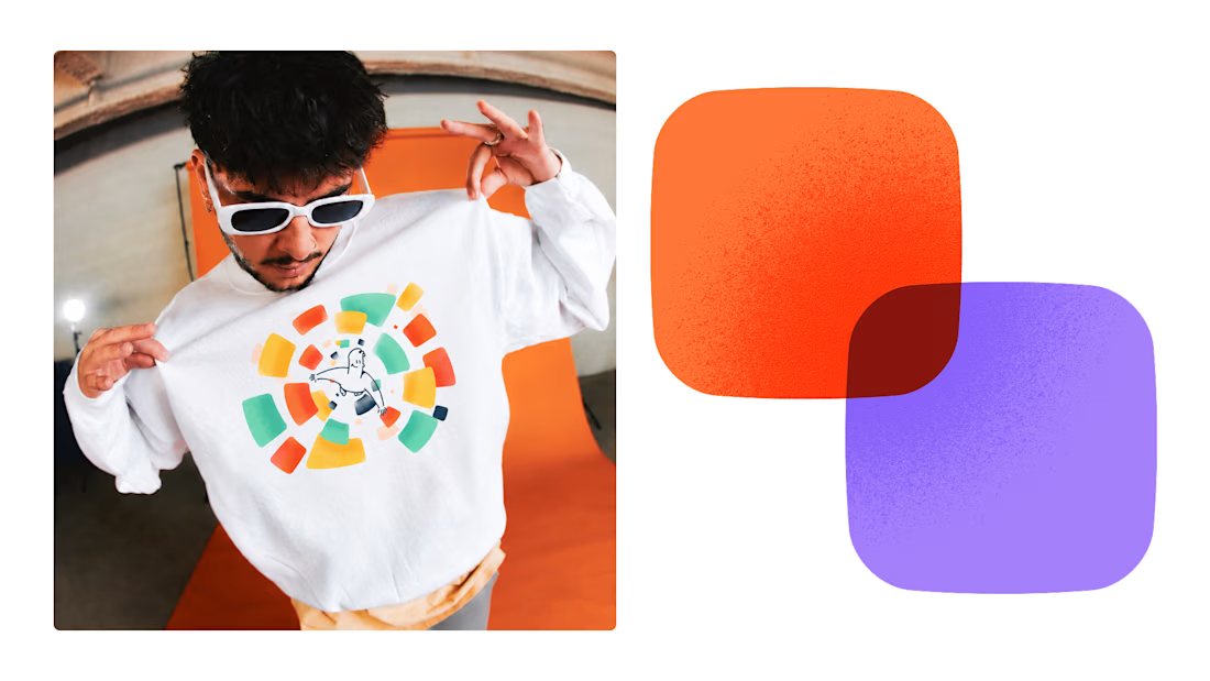
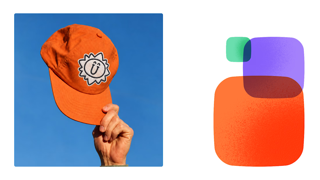

This is exactly what branding should be! 🔥 3 weeks for full identity, merch, cards - you really built personality, not just a logo. Love the Drylendar vibe. AI makes it cheap, but this makes it memorable - so true!