The network for creativity
Join 1.25M professional creatives like you
Connect with clients, get discovered, and run your business 100% commission-free
Creatives on Contra have earned over $150M and we are just getting started
Back to feedPost

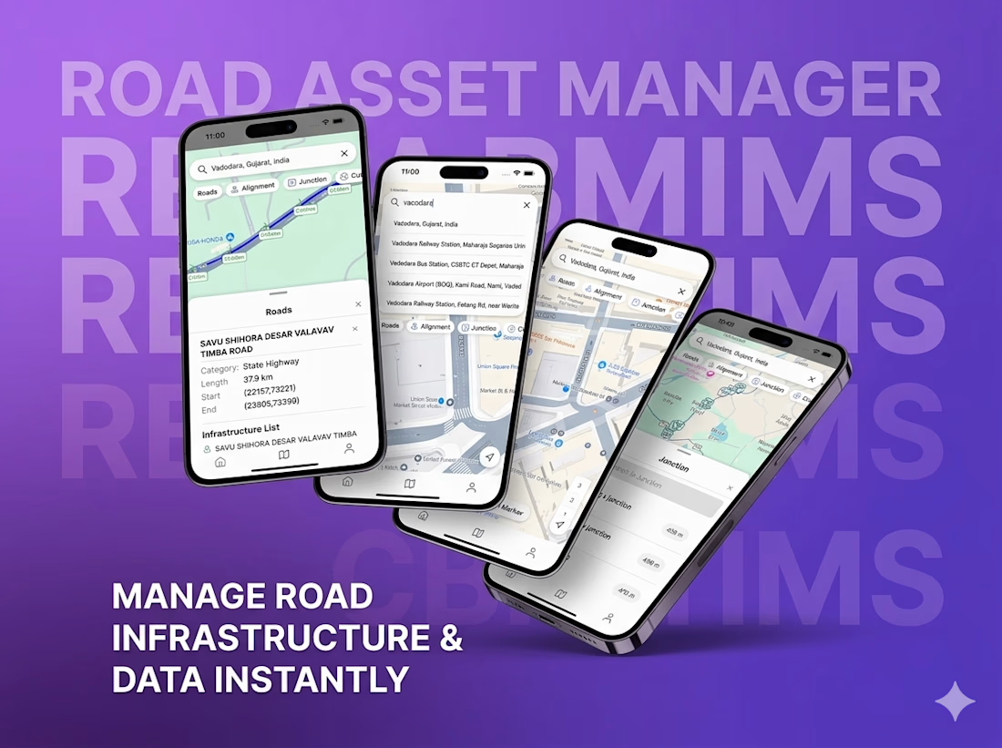
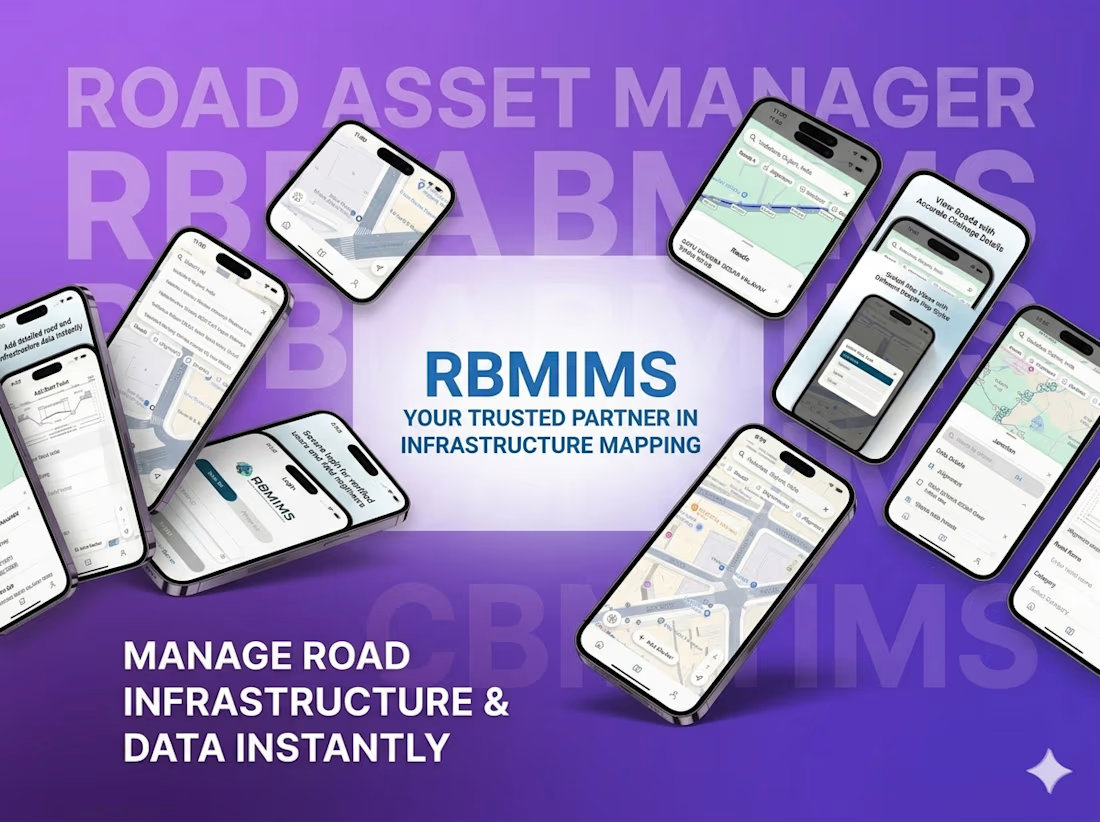
RBMIMS : (Geo Mapping)
◆ Context & Challenge
The client aimed to digitize and streamline road infrastructure data collection and management for government departments, engineers, and field surveyors.
The challenge was to:
‣ Replace manual and fragmented data collection processes
‣ Enable accurate, real-time geospatial data capture from field locations
‣ Ensure usability for on-ground teams working in diverse conditions
‣ Provide a centralized system for monitoring, validation, and approvals
◆ Approach & Solution
We developed RBMIMS (Road Building Mapping Information Management System), an intelligent geospatial platform designed to digitize infrastructure mapping and streamline field operations.
The solution leverages mobile-based data capture, GPS tracking, and structured workflows to enable efficient infrastructure monitoring and management.
◆ Key focus areas:
‣ Geospatial data collection and mapping
‣ Real-time GPS-based tracking and field data capture
‣ Structured workflows for infrastructure management
‣ Offline functionality for remote field usage
‣ Centralized system for monitoring and approvals
◆ Execution
‣ Designed and developed a mobile-first geospatial application for field teams
‣ Built backend systems for real-time data synchronization and storage
‣ Implemented GPS-based mapping and structured data collection forms
‣ Developed offline capabilities for uninterrupted field operations
‣ Created dashboards for centralized monitoring and approval workflows
◆ Outcome & Impact
RBMIMS transforms traditional infrastructure data collection into a digital, efficient, and scalable system.
‣ Improved accuracy and reliability of field data
‣ Reduced manual effort and data inconsistencies
‣ Enhanced visibility into infrastructure development processes
‣ Faster approvals and streamlined operational workflows
‣ Scalable solution for large-scale government deployment


The network for creativity
Join 1.25M professional creatives like you
Connect with clients, get discovered, and run your business 100% commission-free
Creatives on Contra have earned over $150M and we are just getting started











Related posts

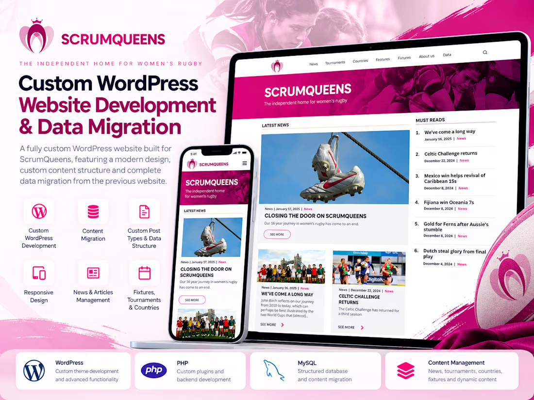
Developed a fully custom WordPress website for ScrumQueens, transforming the previous website into a modern, structured, and maintainable digital platform.
Key Contributions:
Custom-developed the WordPress website to support the project's specific content and business requirements.
Designed and implemented custom WordPress data structures for organized content management.
Migrated a large volume of content and data from the previous website into the new custom WordPress structure.
Worked with WordPress development capabilities, including PHP, custom post types, and content management functionality.
Focused on maintaining content integrity throughout the migration and making ongoing website management easier.
Tech Stack: WordPress, PHP, MySQL, HTML, CSS, JavaScript.
The project demonstrates hands-on expertise in custom WordPress development, complex content migrations, and building maintainable CMS solutions.



How did you check the older content after migration? Matching article counts is one step, but I'd be curious how you checked images and links inside the articles.

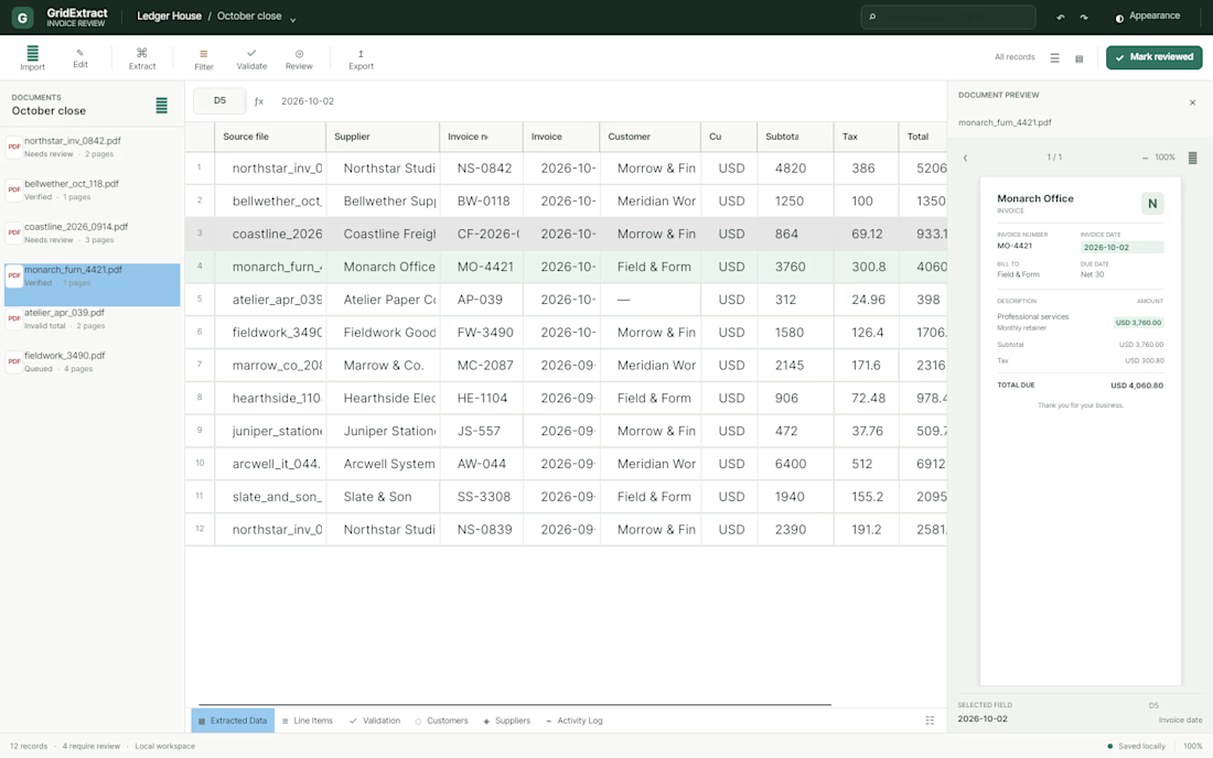
I'm currently building a PDF data extraction application for road freight and logistics companies.
I'm focusing on flexible field selection, local document processing, and handling different PDF layouts.




No After Effects. No manual keyframes.
Just pure React, frame-level spring math, and code.
Built this SaaS product reel completely with Remotion at 60fps. Programmatic motion design makes it effortless to keep animations 100% true to real product UI while allowing programmatic variant generation.
💯 What you receive as a deliverable:
🎬 Production Video: 4K/60fps .mp4 or .webm ready for social, ads, and landing pages
🪟 Transparent Overlays: Alpha-channel .mov (ProRes 4444) to drop over your existing product footage
🔁 Looping Assets: Optimized .gif files for GitHub readmes and email campaigns
💻 Web Native: Interactive React @remotion/player components or automated server-side render scripts
Stack:
• React
• Remotion (useCurrentFrame, spring, interpolate)
• Headless Chromium render pipeline
Taking on 2 new projects this month for SaaS and dev-tool teams looking for high-end product animations.
DMs are open—let’s build.

