The network for creativity
Join 1.25M professional creatives like you
Connect with clients, get discovered, and run your business 100% commission-free
Creatives on Contra have earned over $150M and we are just getting started
Back to feedPost

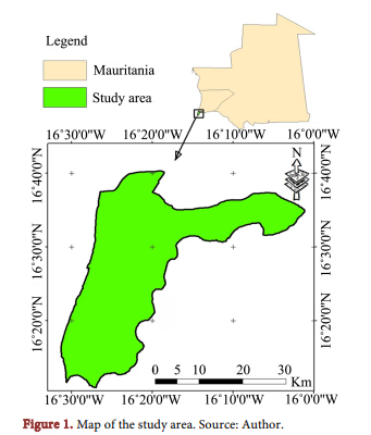
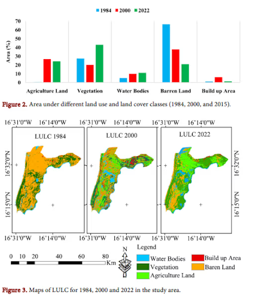
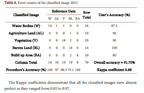
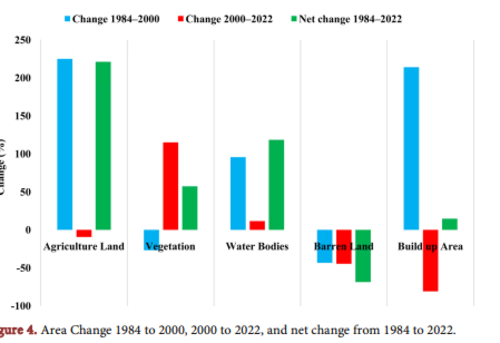
Just published: my peer-reviewed paper in Advances in Remote Sensing on land use and land cover change in Southwest Mauritania.
I used satellite imagery and GIS to analyse how agricultural land, vegetation, and water bodies have changed over time — providing baseline data for climate adaptation and sustainable land management.
This work is part of my broader research on climate change mitigation in West Africa.
If you need GIS analysis, remote sensing, or academic writing support for your project, let's connect.


The network for creativity
Join 1.25M professional creatives like you
Connect with clients, get discovered, and run your business 100% commission-free
Creatives on Contra have earned over $150M and we are just getting started





Related posts

I’m currently starting work on an RWA (Real-World Asset) NFT project focused on real estate, in collaboration with a European-based company.
The project will explore how real-world property assets can be represented and managed through blockchain technology. I’m looking forward to working on the Web3, NFT, and real-estate aspects of the project and sharing more as development progresses.
Excited to be building in the RWA space! 🚀


real estate RWAs are one of the few NFT use cases that actually make sense 👀

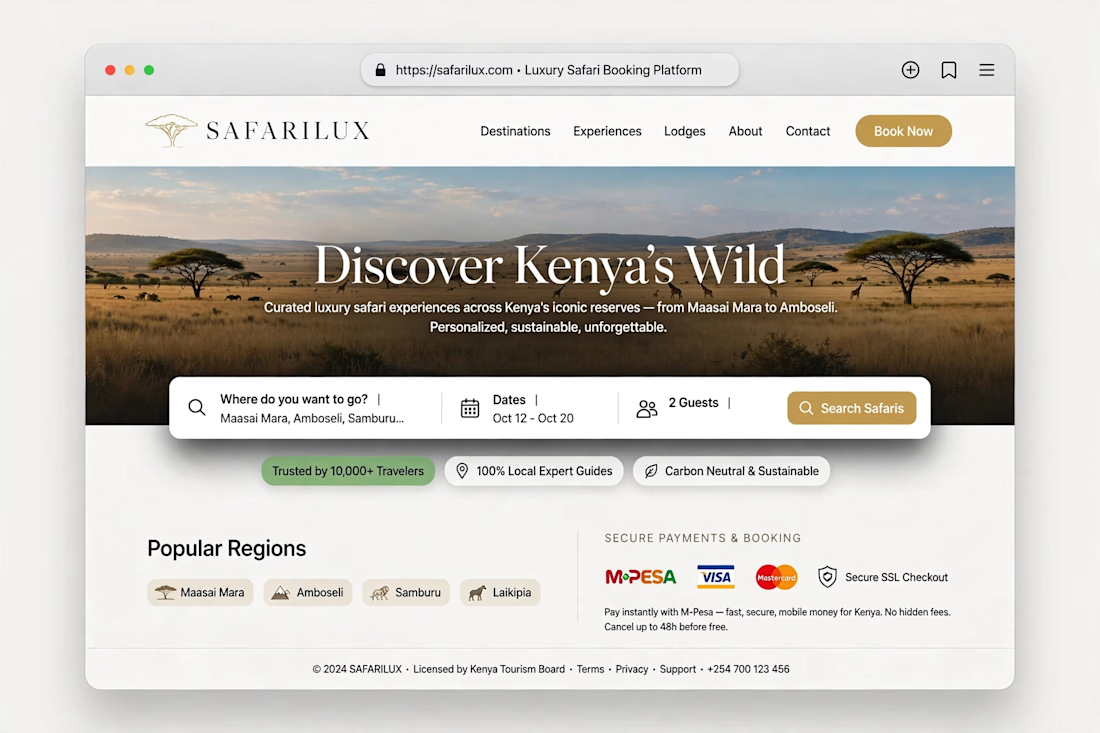
I develope web for tourist bookings and reservation


A new post on my projects