
Processing and Visualization of Geospatial DataLeo Li
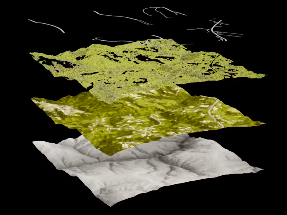
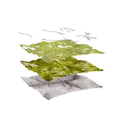
Using a combination of QGIS geoprocessing tools, deep learning, and natural process simulations, I process and prepare geospatial data for visualization.
This includes:
Digital Elevation Model (DEM) Processing
Landcover Classification / Splatmaps for 3D Software
Data on Roads and Buildings
River Simulations
What's included
Digital Elevation Models
Delivered in raster format
Landcover Maps
Landcover segmentation delivered in raster or vector format
Additional Data
Information about roads, rivers, and buildings delivered in vector format
Leo's other services
Processing and Visualization of Geospatial DataLeo Li
Contact for pricing
Tags
QGIS
3D Modeler
Data Visualizer
Using a combination of QGIS geoprocessing tools, deep learning, and natural process simulations, I process and prepare geospatial data for visualization.
This includes:
Digital Elevation Model (DEM) Processing
Landcover Classification / Splatmaps for 3D Software
Data on Roads and Buildings
River Simulations
What's included
Digital Elevation Models
Delivered in raster format
Landcover Maps
Landcover segmentation delivered in raster or vector format
Additional Data
Information about roads, rivers, and buildings delivered in vector format
Leo's other services
Contact for pricing