
GIS analysis and create maps and spatial analysis using QGISAline Moraes
GIS analysis, fast delivery, clear communication.
If you're looking for a reliable GIS mapping and spatial analysis professional, this service is for you. I'm an Environmental Analyst specializing in QGIS and spatial analysis. I offer professional GIS services, focusing on high-quality maps and data interpretation.
What my service includes:
A custom map in image or PDF format
All GIS project files and data used (.qgz, shapefiles, rasters, etc.)
A short PDF report (on request) with a summary of the methods and results
Get in touch and let's start working on the map you deserve!
What's included
GIS developer
I can create dynamic and historical maps, showing changes over time. I can also provide spatial analysis for any industry: agriculture, construction, real estate, etc.
My portfolio includes:
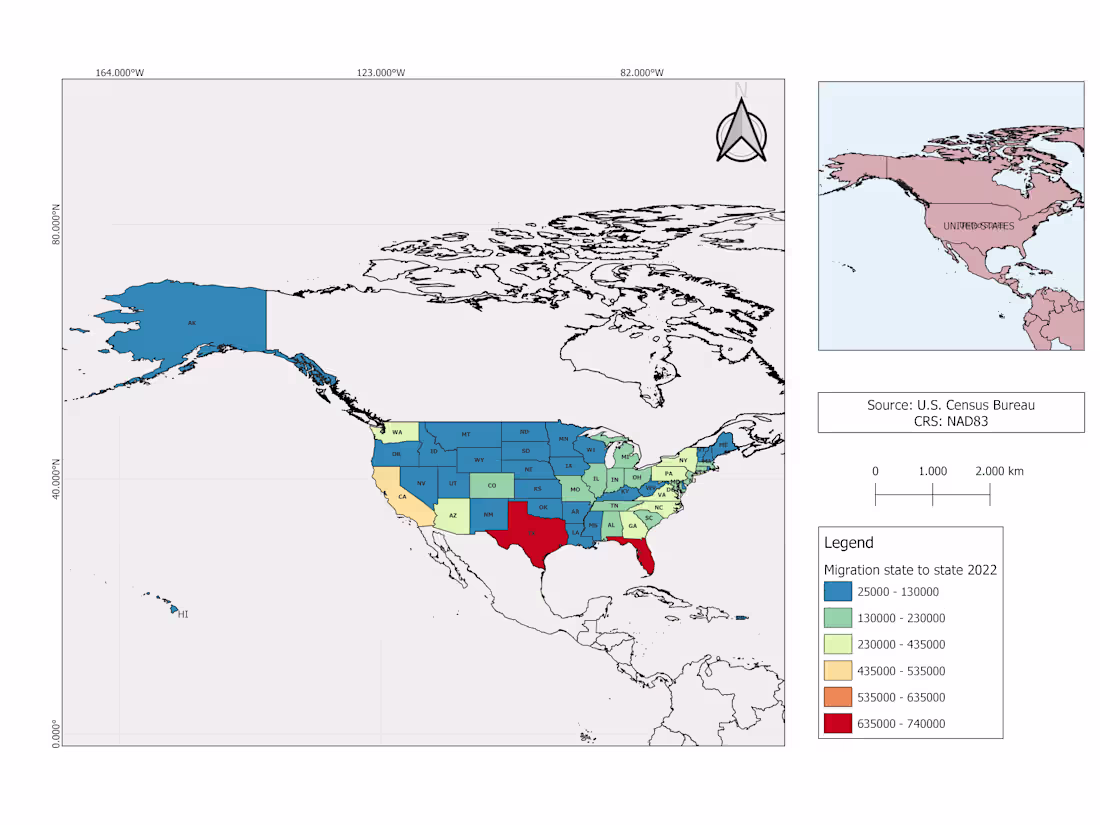
Thematic maps (e.g., land use and land cover, vegetation, hydrology)
- Location and site maps;
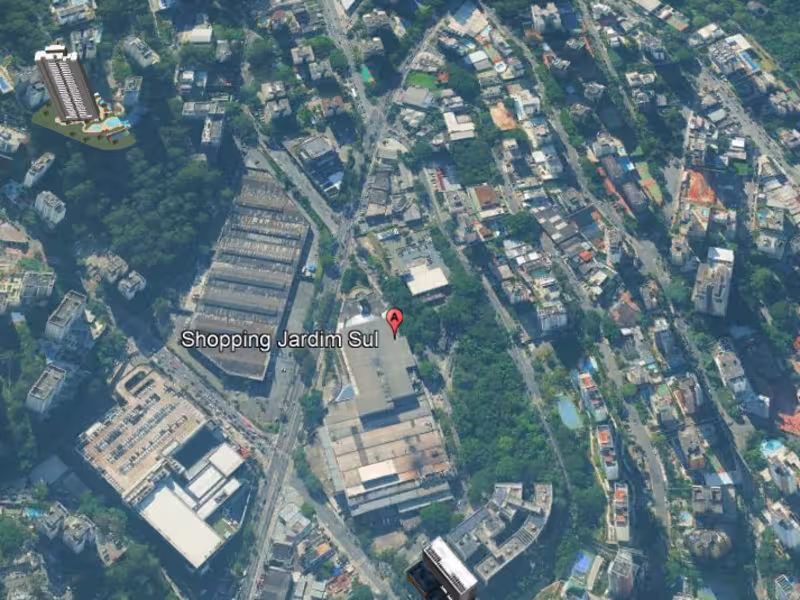
- Maps based on satellite images;
- Demographic and historical maps;
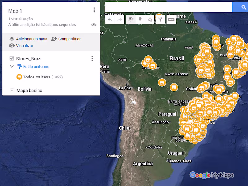
- Spatial data visualizations;
- Maps supporting environmental impact or restoration;
- Custom maps for reports and publications;
- Between others.
Contact for pricing
Tags
PostgreSQL
QGIS
Data Analyst
Data Scientist
Data Visualizer
Service provided by
Aline Moraes Brasília - Brasilia, Brazil
- 5.00
- Rating
- 6
- Followers
GIS analysis and create maps and spatial analysis using QGISAline Moraes
Contact for pricing
Tags
PostgreSQL
QGIS
Data Analyst
Data Scientist
Data Visualizer
GIS analysis, fast delivery, clear communication.
If you're looking for a reliable GIS mapping and spatial analysis professional, this service is for you. I'm an Environmental Analyst specializing in QGIS and spatial analysis. I offer professional GIS services, focusing on high-quality maps and data interpretation.
What my service includes:
A custom map in image or PDF format
All GIS project files and data used (.qgz, shapefiles, rasters, etc.)
A short PDF report (on request) with a summary of the methods and results
Get in touch and let's start working on the map you deserve!
What's included
GIS developer
I can create dynamic and historical maps, showing changes over time. I can also provide spatial analysis for any industry: agriculture, construction, real estate, etc.
My portfolio includes:
Thematic maps (e.g., land use and land cover, vegetation, hydrology)
- Location and site maps;
- Maps based on satellite images;
- Demographic and historical maps;
- Spatial data visualizations;
- Maps supporting environmental impact or restoration;
- Custom maps for reports and publications;
- Between others.
Contact for pricing