
3D Terrain Modeling & Isometric Map RenderingSlava Stecenko
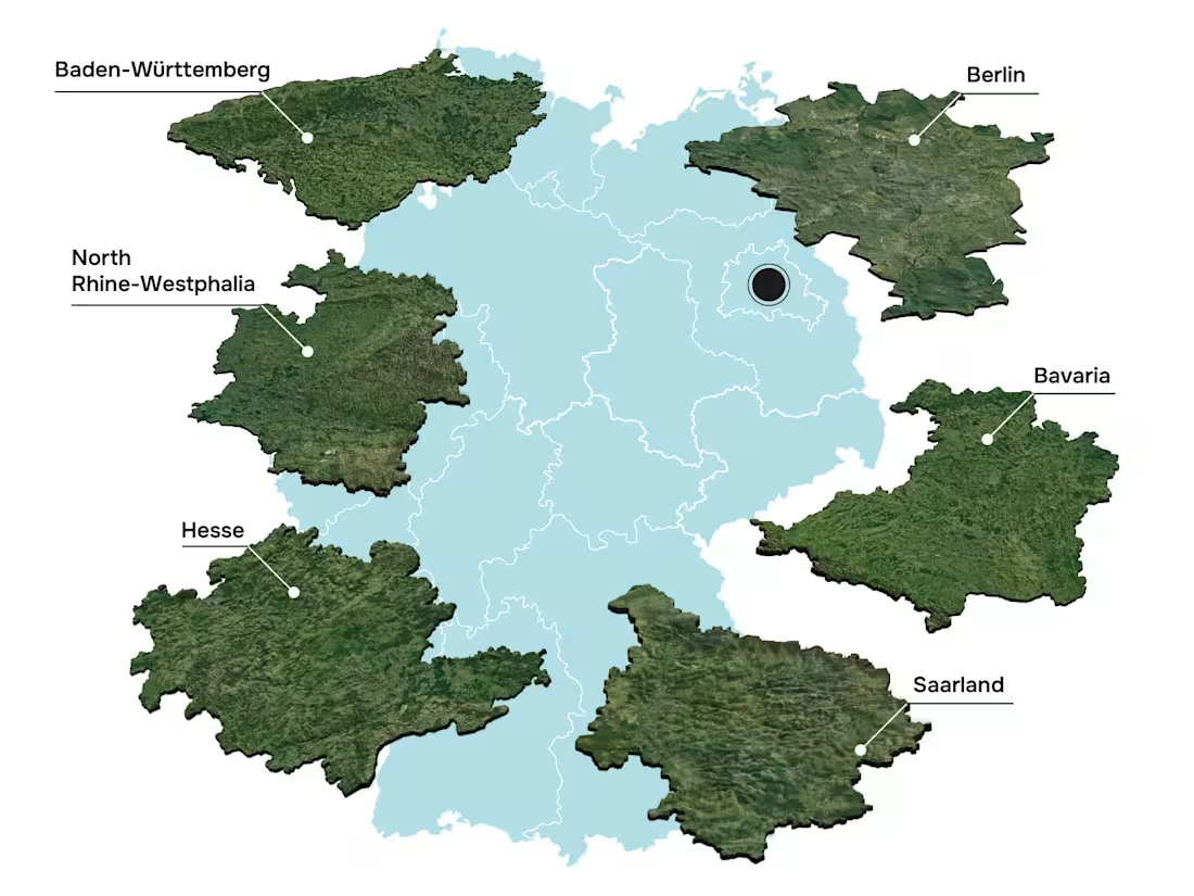
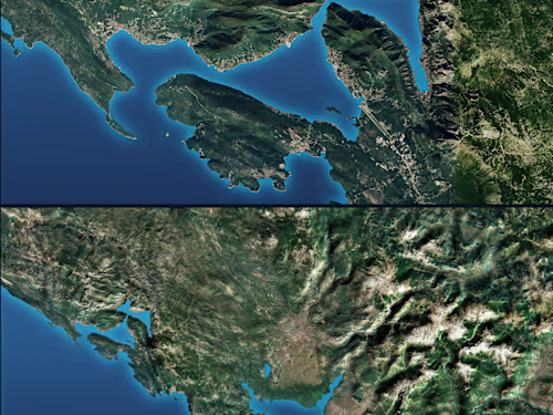
Professional 3D terrain modeling, high-quality isometric map rendering, and regional data visualization services. I transform standard geographical data, 2D maps, or corporate location briefs into sharp, visually compelling 3D environments. Perfect for logistics infographics, regional presentations, educational content, and digital media layouts.
PROJECT PRICING & TIMELINE NOTE:
• Baseline Map Rate: Starts at $200–$400 for isolated regional shapes, simplified terrain layouts, or standalone isometric land blocks.
• Complex Topographic & Data Maps: High-density continuous landscapes, intricate multi-layer infographic maps, or stylized analytical data overlays are quoted individually based on detail depth.
• Overall Timeline: Generally 1–2 weeks (scales dynamically based on project complexity).
What is included in this service:
• High-fidelity 3D terrain modeling and environment design using Blender and Adobe Illustrator.
• Stylized regional zoning, custom text overlays, and isometric data visualization for clean presentations.
• High-resolution visual deliverables optimized for landing pages, infographics, web layouts, and video assets.
What is NOT included:
• Official geological or topographic survey certification, real-world GPS navigation data tracking codes.
Revisions:
• 2 rounds of revisions are included to ensure accurate layouts (1 round for overall regional composition/block-out approval and 1 round for final textures, lighting, and detail optimization).
FAQs
Example work


Contact for pricing
Duration2 weeks
Tags
Adobe Illustrator

Blender

3D Modeler
3D Rendering
Concept Artist
Infographic Designer
Spatial Designer
Technical Illustrator
Service provided by
Slava Stecenko Durrës, Albania
- 2
- Followers
3D Terrain Modeling & Isometric Map RenderingSlava Stecenko
Contact for pricing
Duration2 weeks
Tags
Adobe Illustrator
Blender
3D Modeler
3D Rendering
Concept Artist
Infographic Designer
Spatial Designer
Technical Illustrator
Professional 3D terrain modeling, high-quality isometric map rendering, and regional data visualization services. I transform standard geographical data, 2D maps, or corporate location briefs into sharp, visually compelling 3D environments. Perfect for logistics infographics, regional presentations, educational content, and digital media layouts.
PROJECT PRICING & TIMELINE NOTE:
• Baseline Map Rate: Starts at $200–$400 for isolated regional shapes, simplified terrain layouts, or standalone isometric land blocks.
• Complex Topographic & Data Maps: High-density continuous landscapes, intricate multi-layer infographic maps, or stylized analytical data overlays are quoted individually based on detail depth.
• Overall Timeline: Generally 1–2 weeks (scales dynamically based on project complexity).
What is included in this service:
• High-fidelity 3D terrain modeling and environment design using Blender and Adobe Illustrator.
• Stylized regional zoning, custom text overlays, and isometric data visualization for clean presentations.
• High-resolution visual deliverables optimized for landing pages, infographics, web layouts, and video assets.
What is NOT included:
• Official geological or topographic survey certification, real-world GPS navigation data tracking codes.
Revisions:
• 2 rounds of revisions are included to ensure accurate layouts (1 round for overall regional composition/block-out approval and 1 round for final textures, lighting, and detail optimization).
FAQs
Example work
Contact for pricing