
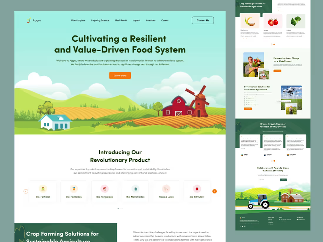
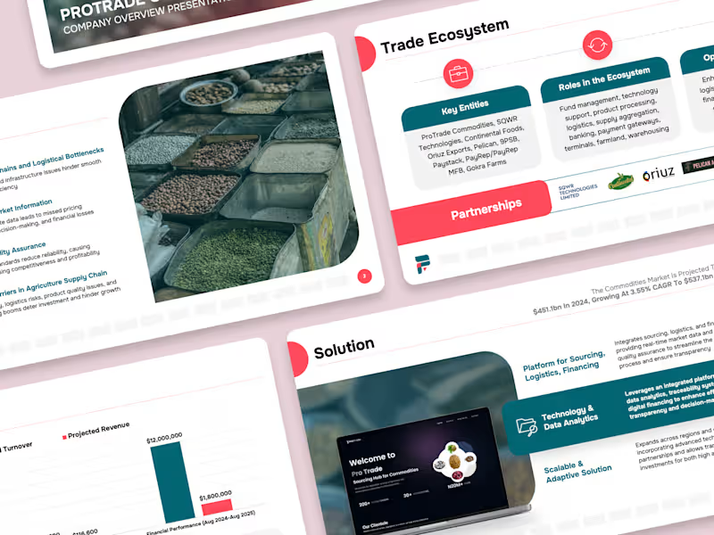
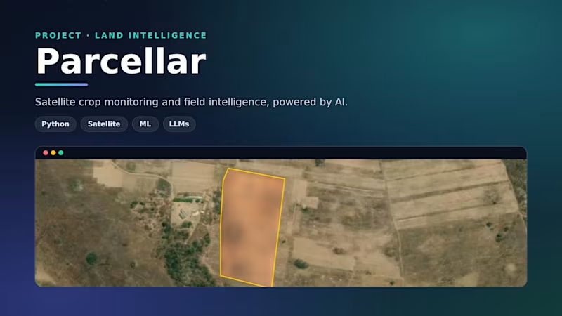
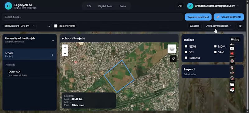
Built a modern Web GIS application for interactive spatial analysis, map visualization, and geospatial data comparison. The platform integrates mapping technologies, satellite imagery, and location-based analytics to help users explore geographic data and make informed decisions. Developed using GIS workflows, Python, and web mapping technologies for a responsive and user-friendly experience.
0
60


Deployed a cloud-native SIEM integrating Microsoft Azure infrastructure, Windows endpoints, Microsoft 365, and Defender XDR telemetry into a unified detection and response platform.
Wrote KQL analytics rules for real-time threat detection covering: privilege escalation, suspicious PowerShell execution, lateral movement via RDP and SMB, anomalous Azure AD sign-ins, and malware execution patterns. Automated incident response using Azure Logic Apps.
Reduced log ingestion costs by 20% through optimised data collection, balancing coverage against cost without losing detection fidelity.
Published full write-up on Medium: medium.com/@babsib2dk
0
37