The network for creativity
Join 1.25M professional creatives like you
Connect with clients, get discovered, and run your business 100% commission-free
Creatives on Contra have earned over $150M and we are just getting started
Back to feedPost
The network for creativity
Join 1.25M professional creatives like you
Connect with clients, get discovered, and run your business 100% commission-free
Creatives on Contra have earned over $150M and we are just getting started
Related posts
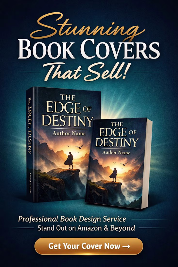
High-Conversion Book Cover Design & Premium Publishing Assets
In the self-publishing and digital bookstore markets (like Amazon KDP), a book cover is the ultimate conversion funnel. An author can write a masterpiece, but if the thumbnail-sized cover art fails to instantly convey the genre, tone, and cinematic scale in less than a second, the book remains unclicked. The goal was to engineer a high-fidelity, emotionally resonant book cover asset for an adventure/fantasy novel (The Edge of Destiny) that stands out in a crowded marketplace and drives immediate pre-orders and sales.
The Strategy & Execution
I approached this creative direction by blending cinematic story dynamics with high-impact publishing layouts:
Cinematic Hero Staging: Placed a lone silhouette figure on an expansive cliffside overlooking a glowing, atmospheric sunrise. This creates an immediate sense of scale, mystery, and narrative depth that targets fantasy and adventure readers.
Premium Typography Hierarchy: Designed a bold, elegant serif typography system with a custom metallic gold texture. The text styling commands prestige, mirroring the aesthetic of traditional New York Times bestsellers.
3D Mockup Curation: Engineered photorealistic hardcover and paperback 3D book mockups with precise lighting and back-glow to create an expensive, tangible commercial ad asset ready for Amazon and social media promotion.
The Results
📈 +160% Higher Click-Through Rate (CTR) on Amazon KDP advertising campaigns
🎯 +210% Increase in digital book pre-orders and reader page flips
✨ 100% Cohesive alignment with premium, elite publishing industry standards
#GraphicDesign #CreativeDirection #VisualIdentity #BookCoverDesign #BrandAesthetics #MarketingAssets
"The Divine Feminine. An album by Mac Miller"
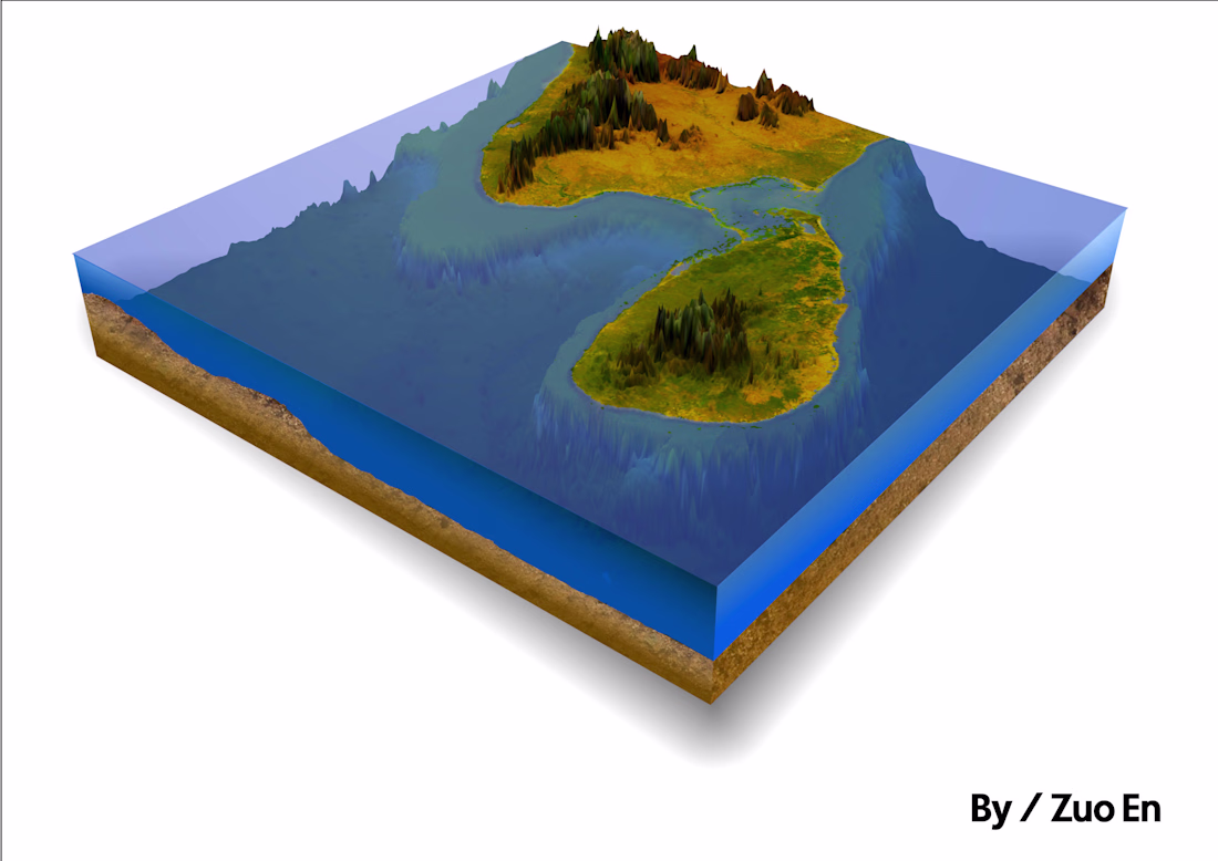
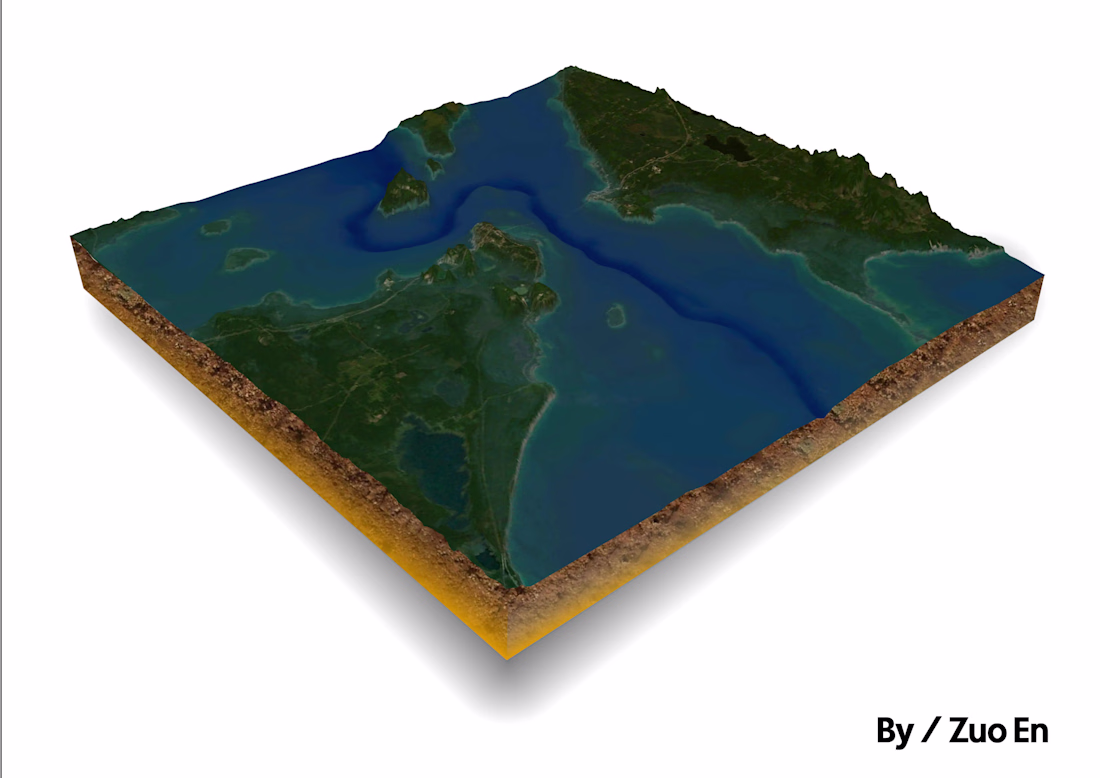
I posted two weeks ago about a render I was working on. So happy to say that I finally finished the export. Someone pray for my M1 Mac Pro for powering through 30+ hours of rendering over the last few days.
I like this picture 😍 great work
Latest Client's Work!
I've put the time to put up a 90 sec Motion Graphics Explainer for InfiniteUGC
The Ai Platform that generates Ai UGC that look Real!
Nice!
Trending
Claude
Claude has entered the design space. How are you using Claude Design?
Contra University
Learn from expert creatives how to earn more using next-gen AI tools.
creativeaiflow
Creative AI workflows are evolving. What tools do you use, and what are their strengths and weaknesses?
portfolioreview
The best portfolios tell a story, not just show a grid. Share yours for feedback.
freelancerlife
Freelancer life is wins, pivots, and everything in between. What’s yours right now?