The network for creativity
Join 1.25M professional creatives like you
Connect with clients, get discovered, and run your business 100% commission-free
Creatives on Contra have earned over $150M and we are just getting started
Back to feedPost

We just taught a city to show us how it lives. 🏙️
What you're watching is Zalin QuickSight — a desktop GIS & decision-intelligence platform built end-to-end with an AI agent team at Zalin Labs.
In a single screen:
• 7,994 real 3D buildings rendered from OpenStreetMap footprints and building-height data
• Traffic simulation running on the actual road network — routing, car-following, signal phases, and rush-hour profiles
• 19 open-data sources including Sentinel-2, USGS, BMKG, NASA GIBS, OpenStreetMap, and NOAA
• 24-hour sun animation showing changing solar position and shadow direction
• A transparent City Decision Score combining accessibility, density, traffic, and vertical efficiency — with actionable recommendations
• Blender-powered 3D visualization for buildings, materials, roofs, streets, and POIs
The goal is simple:
Turn open data into decisions.
Planners, developers, and local governments shouldn't need a dedicated data science team just to answer questions like:
Where should we build next?
Which areas are becoming more accessible?
Which districts are most exposed to flooding or congestion?
Core analysis runs locally on the machine — fast, private, and without cloud lock-in.
This is our first step toward building an affordable digital twin platform for Indonesian cities.
More coming. 🚀
What would you want to simulate in your city?
Tell me in the comments. 👇
#ZalinLabs #ZalinQuickSight #GIS #GeospatialAI #UrbanPlanning #DigitalTwin #OpenData #SmartCity
The network for creativity
Join 1.25M professional creatives like you
Connect with clients, get discovered, and run your business 100% commission-free
Creatives on Contra have earned over $150M and we are just getting started





Related posts


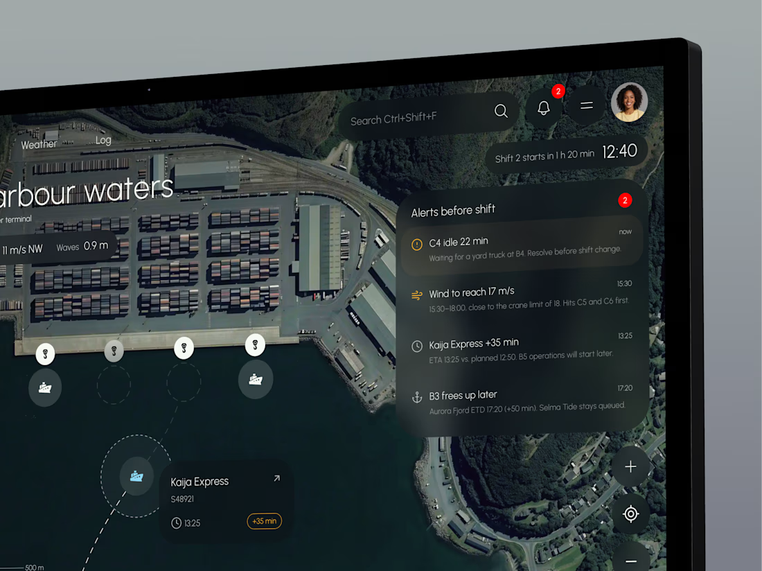
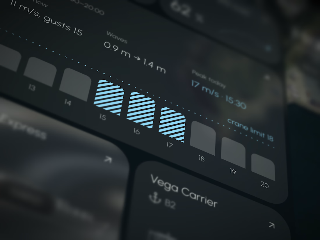
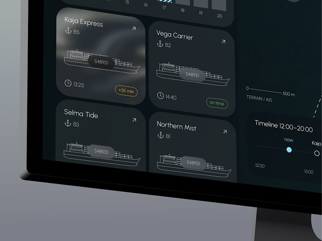
TideGrid – one view of the whole port
Port teams track berths, cranes, vessel ETAs and weather in separate systems, so delays and idle time are often spotted too late.
TideGrid brings everything onto one map. Each vessel shows its ETA, each crane its load, and each berth its occupancy, with wind and waves right beside them. Alerts appear before the shift starts. It runs on existing AIS, crane and sensor data, with a desktop console for operators and a mobile app for foremen on the quay.




This one is for teams that hand everyday work to AI agents. In one view you can see what got automated, how much time it saved, how each agent is doing, and you can ask the AI assistant anything.
In the video, I ask "Who might churn this week?" and Lyra replies with three at risk accounts and check in emails ready to send.
My goal was calm and minimal, with lots of white space, while the screen still feels alive.
What would you add or remove? I'd love your feedback.


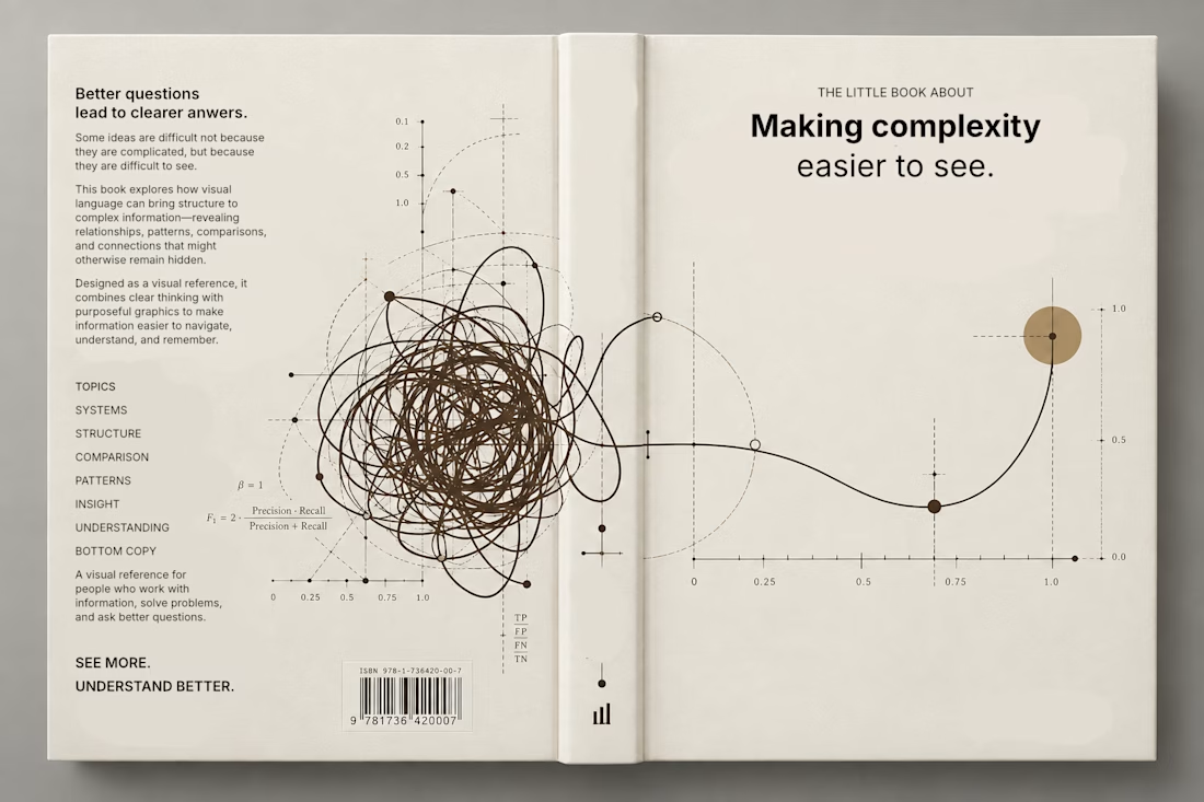
Currently exploring a book design focused on making complex information easier to understand through visual language. Playing with typography, data visualization, and graphic systems to give the subject a more editorial feel.


This is a trully elegant and impressive design concept.
I love it.