The network for creativity
Join 1.25M professional creatives like you
Connect with clients, get discovered, and run your business 100% commission-free
Creatives on Contra have earned over $150M and we are just getting started
Back to feedPost

Hey everyone! 👋
I’m currently opening a new GIS service for anyone who needs help with GIS mapping, spatial analysis, and geospatial data processing.
I can help with:
🗺️ Thematic & geological mapping
📍 Spatial & proximity analysis
⛏️ Mining & exploration GIS
🛰️ Satellite & remote sensing analysis
📊 Mineral & exploration data visualization
📐 Terrain & geomorphological analysis
📁 GIS data processing & map preparation
I mainly work with ArcGIS, QGIS, and Google Earth Engine, depending on the project requirements.
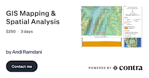
If you have a GIS project, mapping task, mining/exploration study, or spatial analysis that you need help with, feel free to check out my service here:
You can also message me first if you're not sure what kind of GIS analysis would fit your project. Happy to discuss the requirements before starting!
contra.com
GIS Mapping & Spatial Analysis by Andi Ramdani
Read more about GIS Mapping & Spatial Analysis by Andi Ramdani on Contra.
The network for creativity
Join 1.25M professional creatives like you
Connect with clients, get discovered, and run your business 100% commission-free
Creatives on Contra have earned over $150M and we are just getting started
Related posts

PROFESSIONAL PYTHON DATA ANALYTICS SERVICES AVAILABLE
Transform Your Raw Data into Powerful Business Insights!
I provide professional Python Data Analytics services to help businesses analyze data, identify trends, and make smarter decisions.
My Python Data Analytics Services:
Data Cleaning & Data Preprocessing
Data Analysis using Pandas & NumPy
Exploratory Data Analysis (EDA)
Data Visualization using Matplotlib & Seaborn
Sales, Revenue & Profit Analysis
Customer Behavior & Trend Analysis
Statistical Analysis & Business Insights
CSV, Excel & Database Data Analysis
Automated Data Reports
Professional Charts & Graphs
Tools: Python | Pandas | NumPy | Matplotlib | Seaborn | Jupyter Notebook


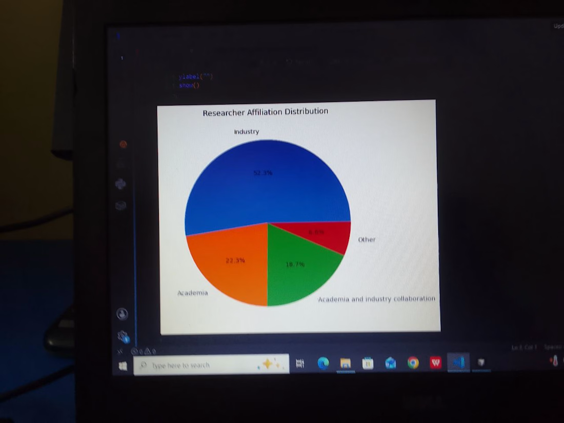
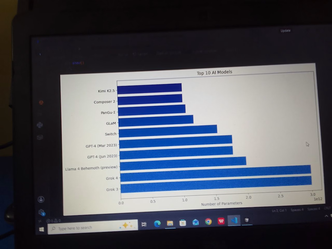
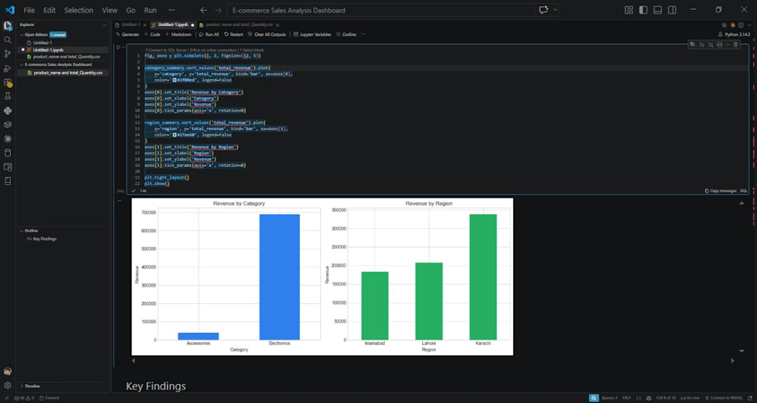
PROFESSIONAL PYTHON DATA ANALYTICS SERVICES AVAILABLE
Transform Your Raw Data into Powerful Business Insights!
I provide professional Python Data Analytics services to help businesses analyze data, identify trends, and make smarter decisions.
My Python Data Analytics Services:
Data Cleaning & Data Preprocessing
Data Analysis using Pandas & NumPy
Exploratory Data Analysis (EDA)
Data Visualization using Matplotlib & Seaborn
Sales, Revenue & Profit Analysis
Customer Behavior & Trend Analysis
Statistical Analysis & Business Insights
CSV, Excel & Database Data Analysis
Automated Data Reports
Professional Charts & Graphs
#Python # Pandas # NumPy # Matplotlib # Seaborn # Jupyter Notebook

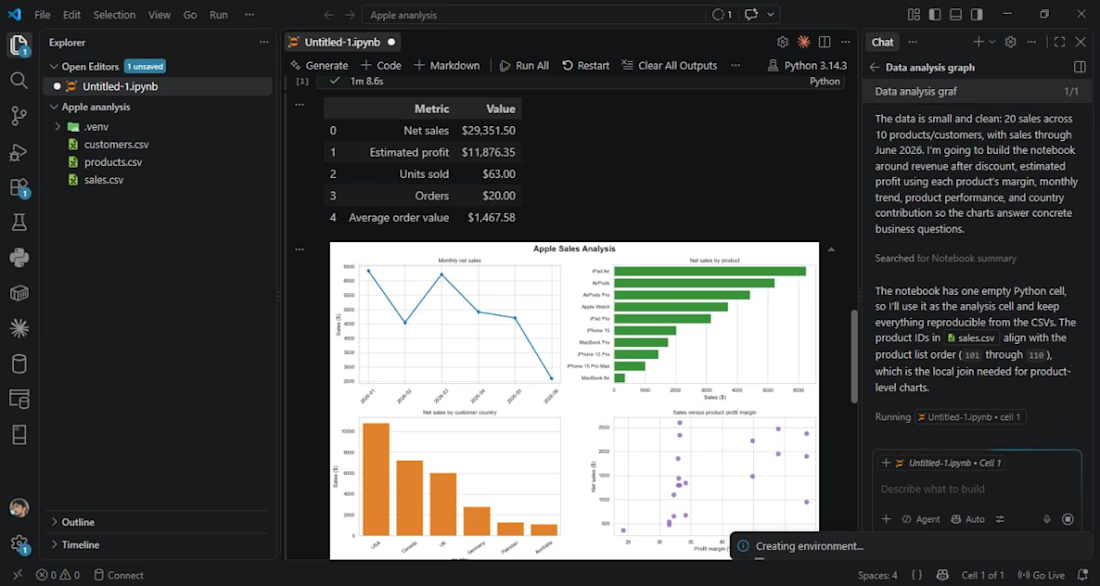
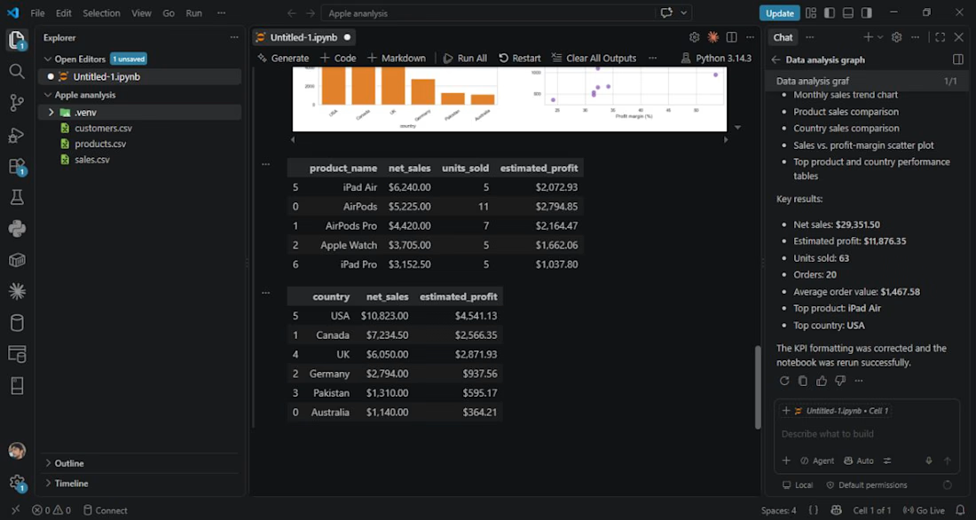

Title: Work Globally — Remote Work Platform
A web platform project focused on connecting people with global work opportunities.