The network for creativity
Join 1.25M professional creatives like you
Connect with clients, get discovered, and run your business 100% commission-free
Creatives on Contra have earned over $150M and we are just getting started
Back to feedPost

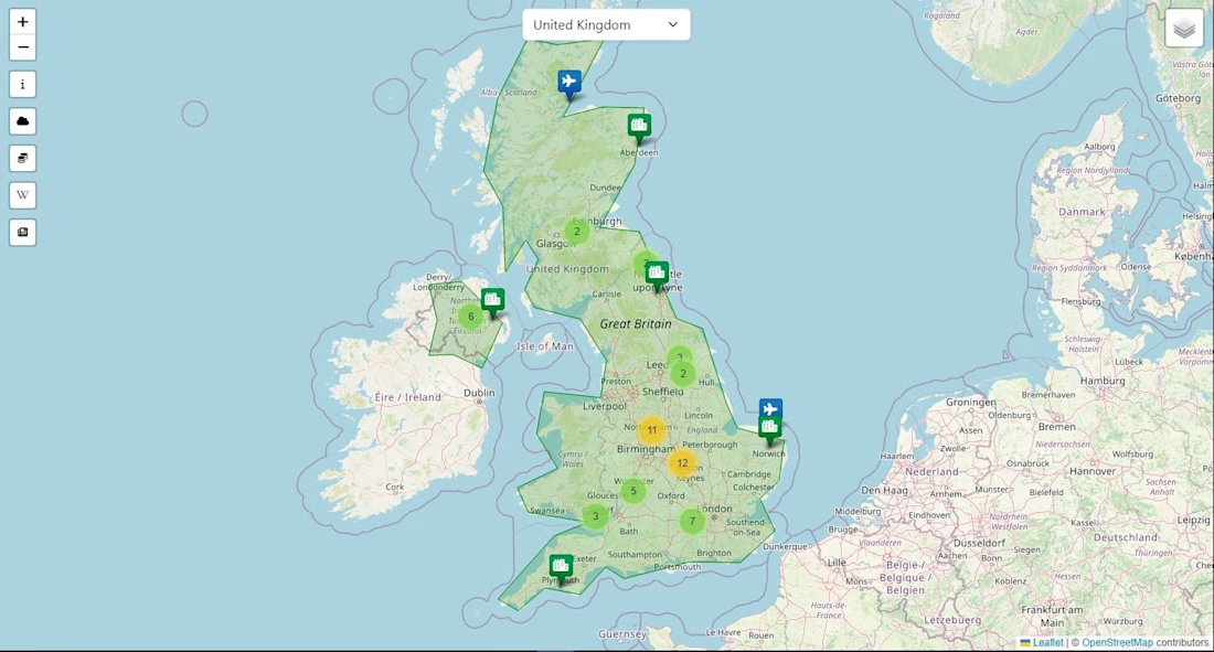
I developed Gazetteer as an interactive web application for exploring countries through a map-based interface. Users can select a country, view its borders and access information such as population, language, currency and weather.
The project brings mapping and external data together in one interface, with map layers and location markers supporting exploration. It demonstrates my experience with API integration, JavaScript, PHP and presenting information from multiple sources in an accessible format.
Technologies: HTML, CSS, Bootstrap, JavaScript and PHP.

The network for creativity
Join 1.25M professional creatives like you
Connect with clients, get discovered, and run your business 100% commission-free
Creatives on Contra have earned over $150M and we are just getting started





Related posts

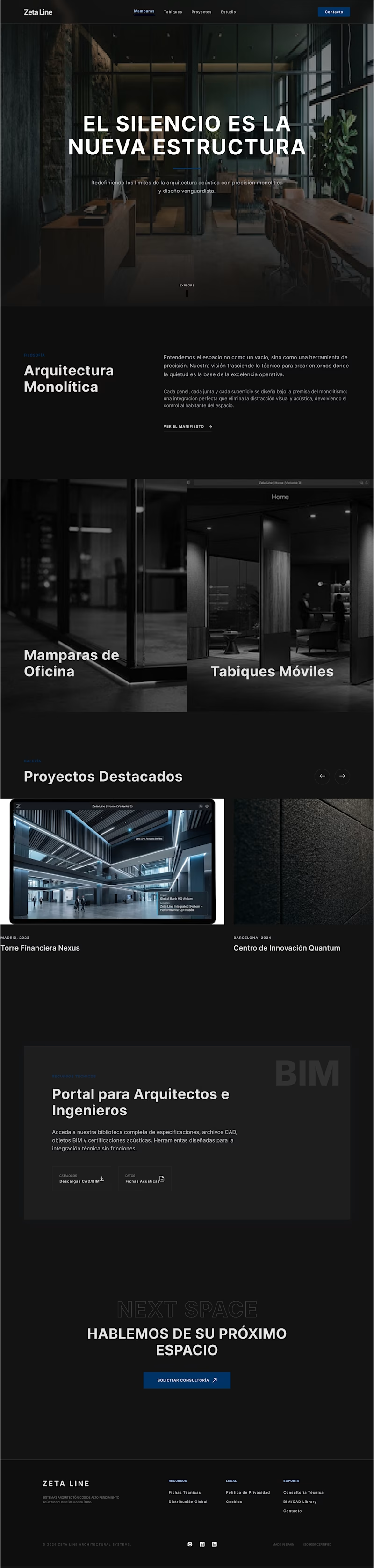
Recently, I created two designs for my client. One is in dark mode, and the other is in light mode. I love both of them. Which one do you like more?

5 voted
56%
4 voted
44%

9 votes
Closed

fresh light

My feed on X is full of impressive motion videos made with Claude, so I decided to try Opus 5.5 for the FTCG project. I asked it to create a dynamic video inspired by the FTCG game. The initial prompt was incredibly simple, and it took only an hour or two of experimentation to refine the result and add sound as the finishing touch. Not bad at all.

turning the actual landing page into a promo is a cool idea. did Claude handle the rendering too, or did you export it through another tool?




The product flow stays clear across the web and motion elements.