
GIS ServiceBudi Nugroho
🌟 Top Rated Plus GIS & Remote Sensing Specialist, Photogrammetries, Hydrologist & WebGIS Developer 🌟
Are you seeking top-notch expertise to take your GIS, Remote Sensing, Hydrology, or Geomatics projects to new heights? Look no further! As a Top Rated Plus professional on Upwork, I bring over 8 years of seasoned experience and a proven track record of excellence to every project I undertake.
Here's why you should choose me for your next project:
Unmatched Expertise: With specialized skills in Digital Mapping, Land Surveying, Photogrammetry, 3D Modeling, Website and Webmap Creation, and more, I offer a comprehensive range of services tailored to your project needs.
Proven Track Record: As a Top Rated Plus freelancer, I have consistently delivered exceptional results, earning the trust and satisfaction of numerous clients worldwide.
Extensive Software Proficiency: From ArcGIS Online to Google Earth Pro, ENVI to HEC-RAS, I am proficient in a wide array of industry-standard software, ensuring efficient and precise project execution.
Detail-Oriented Approach: I understand the importance of accuracy and attention to detail in GIS and Remote Sensing projects. Rest assured, your projects will be meticulously handled and delivered to your utmost satisfaction.
Client-Centric Focus: Your success is my priority. I collaborate closely with clients to understand their unique requirements and provide tailored solutions that exceed expectations.
Software Proficiency:
GIS Software: ArcGIS Online, ArcGIS Pro, ArcMap, QGIS, OpenLayers, Leaflet, Mapbox GL JS.
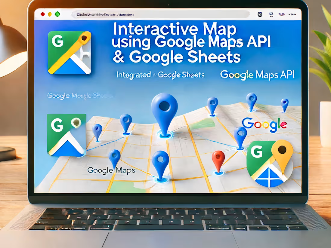
WebMapping: Leaflet, Mapbox, Openlayer, Google Maps API
Remote Sensing Software: ENVI, ERDAS Imagine, Google Earth Pro, SAS Planet.
Geomatics Software: Trimble Business Centre, Global Mapper, PCI Geomatics, Civil 3D, AutoCAD, Agisoft Metashape, Pix4D, SketchUp, Blender.
Hydrology Software: HEC-RAS, HEC-HMS.
Geology: Rockworks
Programming Languages: Python (Automation Workflow in GIS), MATLAB, PostgreSQL (PostGIS), Google Earth Engine (JavaScript).
Experience the Top Rated Plus advantage and elevate your projects to the next level. Let's embark on a journey of excellence together!
Ready to get started? Contact me today to discuss your project requirements and discover the difference that a Top Rated Plus specialist can make.
Budi Prasetyo Nugroho
GIS and Remote Sensing Specialist, Hydrologist, Geomatics Engineer, Web Developer
What's included
GIS Service
Unmatched Expertise: With specialized skills in Digital Mapping, Land Surveying, Photogrammetry, 3D Modeling, Website and Webmap Creation, and more, I offer a comprehensive range of services tailored to your project needs.
Proven Track Record: As a Top Rated Plus freelancer, I have consistently delivered exceptional results, earning the trust and satisfaction of numerous clients worldwide.
Extensive Software Proficiency: From ArcGIS Online to Google Earth Pro, ENVI to HEC-RAS, I am proficient in a wide array of industry-standard software, ensuring efficient and precise project execution.
Detail-Oriented Approach: I understand the importance of accuracy and attention to detail in GIS and Remote Sensing projects. Rest assured, your projects will be meticulously handled and delivered to your utmost satisfaction.
Client-Centric Focus: Your success is my priority. I collaborate closely with clients to understand their unique requirements and provide tailored solutions that exceed expectations.
Software Proficiency:
GIS Software: ArcGIS Online, ArcGIS Pro, ArcMap, QGIS, OpenLayers, Leaflet, Mapbox GL JS.
WebMapping: Leaflet, Mapbox, Openlayer, Google Maps API
Remote Sensing Software: ENVI, ERDAS Imagine, Google Earth Pro, SAS Planet.
Geomatics Software: Trimble Business Centre, Global Mapper, PCI Geomatics, Civil 3D, AutoCAD, Agisoft Metashape, Pix4D, SketchUp, Blender.
Hydrology Software: HEC-RAS, HEC-HMS.
Geology: Rockworks
Programming Languages: Python (Automation Workflow in GIS), MATLAB, PostgreSQL (PostGIS), Google Earth Engine (JavaScript).
Experience the Top Rated Plus advantage and elevate your projects to the next level. Let's embark on a journey of excellence together!
Ready to get started? Contact me today to discuss your project requirements and discover the difference that a Top Rated Plus specialist can make.
Budi Prasetyo Nugroho
GIS and Remote Sensing Specialist, Hydrologist, Geomatics Engineer, Web Developer
Budi's other services

Starting at$50
Duration1 week
Tags
Adobe XD


Elementor

Figma

Sketch

Webflow

Frontend Engineer
UX Designer
Web Developer
Service provided by
Budi Nugroho Depok City, Indonesia
GIS ServiceBudi Nugroho
Starting at$50
Duration1 week
Tags
Adobe XD
Elementor
Figma
Sketch
Webflow
Frontend Engineer
UX Designer
Web Developer
🌟 Top Rated Plus GIS & Remote Sensing Specialist, Photogrammetries, Hydrologist & WebGIS Developer 🌟
Are you seeking top-notch expertise to take your GIS, Remote Sensing, Hydrology, or Geomatics projects to new heights? Look no further! As a Top Rated Plus professional on Upwork, I bring over 8 years of seasoned experience and a proven track record of excellence to every project I undertake.
Here's why you should choose me for your next project:
Unmatched Expertise: With specialized skills in Digital Mapping, Land Surveying, Photogrammetry, 3D Modeling, Website and Webmap Creation, and more, I offer a comprehensive range of services tailored to your project needs.
Proven Track Record: As a Top Rated Plus freelancer, I have consistently delivered exceptional results, earning the trust and satisfaction of numerous clients worldwide.
Extensive Software Proficiency: From ArcGIS Online to Google Earth Pro, ENVI to HEC-RAS, I am proficient in a wide array of industry-standard software, ensuring efficient and precise project execution.
Detail-Oriented Approach: I understand the importance of accuracy and attention to detail in GIS and Remote Sensing projects. Rest assured, your projects will be meticulously handled and delivered to your utmost satisfaction.
Client-Centric Focus: Your success is my priority. I collaborate closely with clients to understand their unique requirements and provide tailored solutions that exceed expectations.
Software Proficiency:
GIS Software: ArcGIS Online, ArcGIS Pro, ArcMap, QGIS, OpenLayers, Leaflet, Mapbox GL JS.
WebMapping: Leaflet, Mapbox, Openlayer, Google Maps API
Remote Sensing Software: ENVI, ERDAS Imagine, Google Earth Pro, SAS Planet.
Geomatics Software: Trimble Business Centre, Global Mapper, PCI Geomatics, Civil 3D, AutoCAD, Agisoft Metashape, Pix4D, SketchUp, Blender.
Hydrology Software: HEC-RAS, HEC-HMS.
Geology: Rockworks
Programming Languages: Python (Automation Workflow in GIS), MATLAB, PostgreSQL (PostGIS), Google Earth Engine (JavaScript).
Experience the Top Rated Plus advantage and elevate your projects to the next level. Let's embark on a journey of excellence together!
Ready to get started? Contact me today to discuss your project requirements and discover the difference that a Top Rated Plus specialist can make.
Budi Prasetyo Nugroho
GIS and Remote Sensing Specialist, Hydrologist, Geomatics Engineer, Web Developer
What's included
GIS Service
Unmatched Expertise: With specialized skills in Digital Mapping, Land Surveying, Photogrammetry, 3D Modeling, Website and Webmap Creation, and more, I offer a comprehensive range of services tailored to your project needs.
Proven Track Record: As a Top Rated Plus freelancer, I have consistently delivered exceptional results, earning the trust and satisfaction of numerous clients worldwide.
Extensive Software Proficiency: From ArcGIS Online to Google Earth Pro, ENVI to HEC-RAS, I am proficient in a wide array of industry-standard software, ensuring efficient and precise project execution.
Detail-Oriented Approach: I understand the importance of accuracy and attention to detail in GIS and Remote Sensing projects. Rest assured, your projects will be meticulously handled and delivered to your utmost satisfaction.
Client-Centric Focus: Your success is my priority. I collaborate closely with clients to understand their unique requirements and provide tailored solutions that exceed expectations.
Software Proficiency:
GIS Software: ArcGIS Online, ArcGIS Pro, ArcMap, QGIS, OpenLayers, Leaflet, Mapbox GL JS.
WebMapping: Leaflet, Mapbox, Openlayer, Google Maps API
Remote Sensing Software: ENVI, ERDAS Imagine, Google Earth Pro, SAS Planet.
Geomatics Software: Trimble Business Centre, Global Mapper, PCI Geomatics, Civil 3D, AutoCAD, Agisoft Metashape, Pix4D, SketchUp, Blender.
Hydrology Software: HEC-RAS, HEC-HMS.
Geology: Rockworks
Programming Languages: Python (Automation Workflow in GIS), MATLAB, PostgreSQL (PostGIS), Google Earth Engine (JavaScript).
Experience the Top Rated Plus advantage and elevate your projects to the next level. Let's embark on a journey of excellence together!
Ready to get started? Contact me today to discuss your project requirements and discover the difference that a Top Rated Plus specialist can make.
Budi Prasetyo Nugroho
GIS and Remote Sensing Specialist, Hydrologist, Geomatics Engineer, Web Developer
Budi's other services
$50