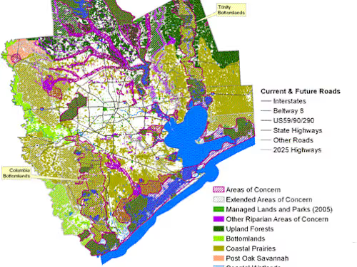
I will create GIS maps like topographic and vector, Asset D.base
Starting at
$
3
/hrAbout this service
Summary
What's included
Shape file
The shapefile format is a geospatial vector data format for geographic information system software. It is developed and regulated by Esri as a mostly open specification for data interoperability among Esri and other GIS software products
Dwg format
DWG is a proprietary binary file format used for storing two- and three- dimensional design data and metadata. It is the native format for several CAD packages including DraftSight, AutoCAD, ZWCAD, IntelliCAD, Caddie and Open Design Alliance compliant applications
PGDB and GDB
The GDB folder is a container to hold the feature datasets, feature classes, and associated tables that are related to each other. When the . GDB folder is opened using ArcGIS software, various file types can usually be found, including attribute tables, topologies, and feature classes.
Skills and tools
Data Scientist
Data Visualizer
Data Analyst

D3.js

Matplotlib

Tableau

TensorFlow

three.js
