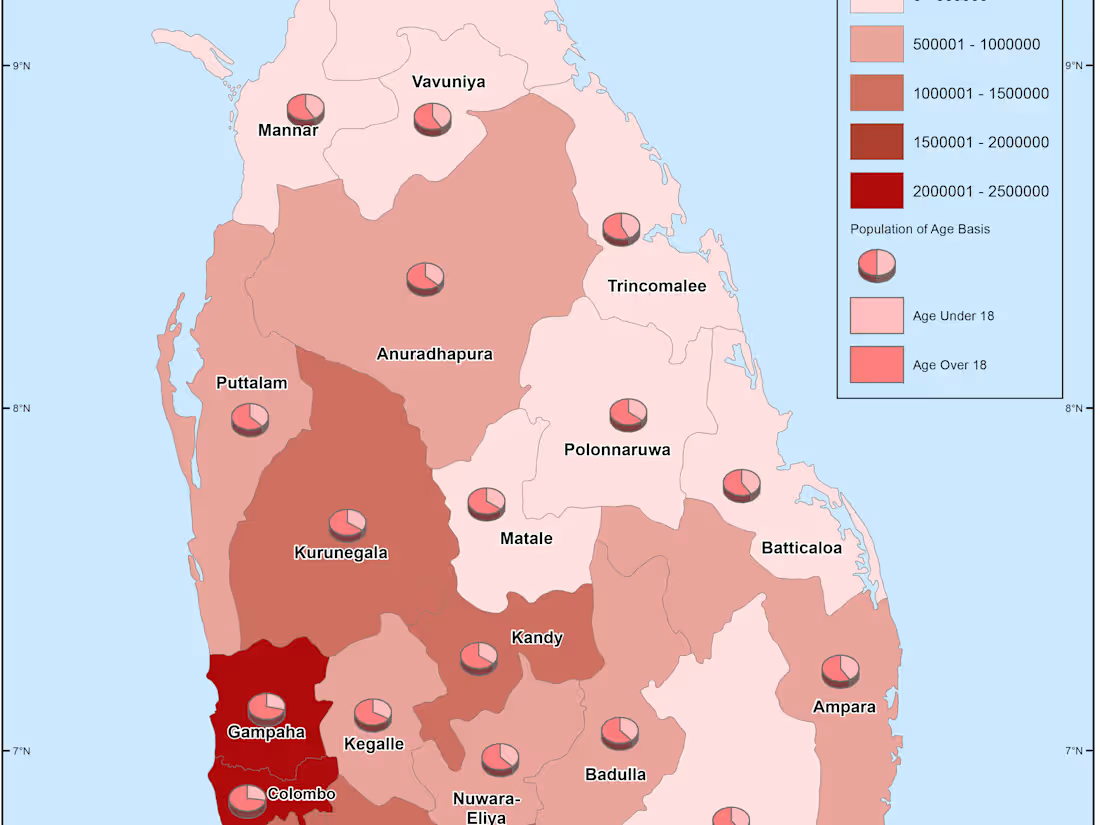
I will create gis map, vector map, do spatial analysisWeerasinghe Mudiyanselage Sasanka Dhananjaya Weerasinghe
Data Analysis I can help you in
Landuse/Landcover Extraction
georeference images
Image Classification (Unsupervised, Supervised, Object Based etc
Digitization of data and base mapping
Cartographic Presentations/Maps
Flood Level analysis
Rainfall Data analysis
Hazard Mapping
For further review, log on to my Youtube channel https://www.youtube.com/channel/UC99nz6js901xvl-23dggG2A
Weerasinghe Mudiyanselage Sasanka's other services
Contact for pricing
Tags
QGIS
Data Analyst
Data Visualizer
Service provided by

I will create gis map, vector map, do spatial analysisWeerasinghe Mudiyanselage Sasanka Dhananjaya Weerasinghe
Data Analysis I can help you in
Landuse/Landcover Extraction
georeference images
Image Classification (Unsupervised, Supervised, Object Based etc
Digitization of data and base mapping
Cartographic Presentations/Maps
Flood Level analysis
Rainfall Data analysis
Hazard Mapping
For further review, log on to my Youtube channel https://www.youtube.com/channel/UC99nz6js901xvl-23dggG2A
Weerasinghe Mudiyanselage Sasanka's other services
Contact for pricing


