Remote Sensing AnalysisKostas Karalidis
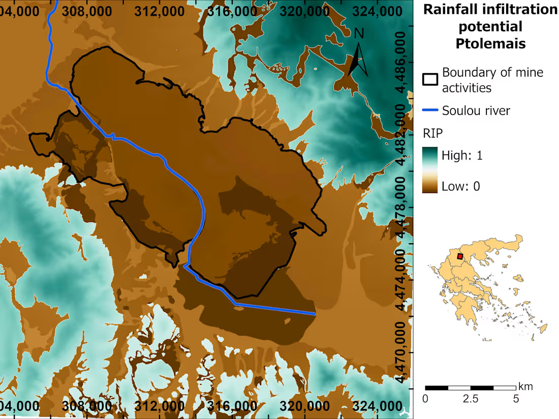
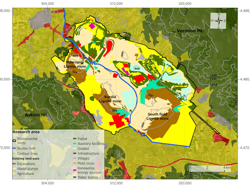
As a remote sensing specialist, I offer expertise in acquiring, processing, and interpreting satellite and aerial imagery for diverse applications. What sets me apart is my proficiency in utilizing advanced remote sensing techniques, such as multispectral and hyperspectral analysis, to extract valuable information about the Earth's surface, ecosystems, and environmental changes, enabling precise and insightful decision-making in fields ranging from agriculture and forestry to environmental monitoring and disaster management.
Kostas's other services
Contact for pricing
Tags
Microsoft Office 365
Python
QGIS
Consultant
Data Modelling Analyst
Map visualization
Service provided by

Kostas Karalidis Greece
- 1
- Followers

Remote Sensing AnalysisKostas Karalidis
Contact for pricing
Tags
Microsoft Office 365
Python
QGIS
Consultant
Data Modelling Analyst
Map visualization
As a remote sensing specialist, I offer expertise in acquiring, processing, and interpreting satellite and aerial imagery for diverse applications. What sets me apart is my proficiency in utilizing advanced remote sensing techniques, such as multispectral and hyperspectral analysis, to extract valuable information about the Earth's surface, ecosystems, and environmental changes, enabling precise and insightful decision-making in fields ranging from agriculture and forestry to environmental monitoring and disaster management.
Kostas's other services
Contact for pricing


