One stop remote sensing solutionsSunbeam Rahman
Get help with forest & vegetation analysis, wetland mapping, disaster risk, climate impact modeling, urban spatial analysis, and similar other topics.
I am an expert in spatial analysis, remote sensing, and GEOBIA with 12+ years of experience based in Calgary. I have an MGIS from the University of Calgary, Alberta, and an MSc in Geography.
I have extensive experience in topics, including (but not limited to)
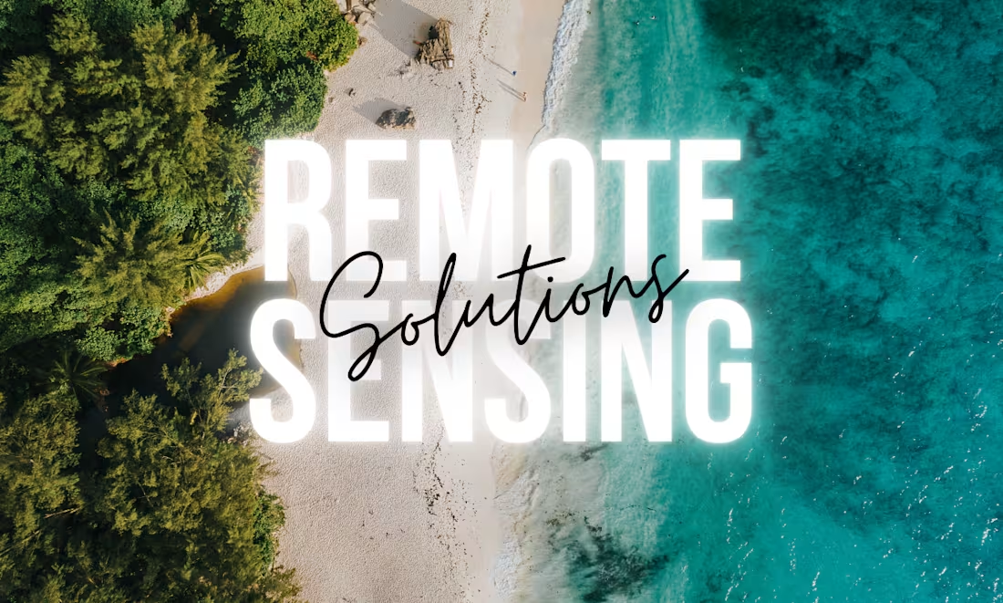
Advanced Remote Sensing: Multispectral/ hyperspectral/ radar/ point-cloud data processing for forest, agri, wetland, and urban ecosystems using desktop (ie, ArcGIS, Erdas Imagine, eCognition, etc.) and cloud-based environments (ie, GEE)
Spatial scripting: Python (ArcPY, GeoPandas, Rasterio, Xarray, etc.), R (sf, tidyverse), and Google Earth Engine
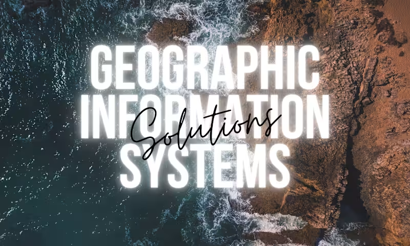
Enterprise GIS, dashboard automation, and Web GIS: Esri ArcGIS Enterprise (ArcGIS Server and Portal management, Survey123), AGOL, Experience builder
Technical writing: Technical reports, manuals, blogs, and tutorials.
Why should you hire me?
Experienced observations and quick delivery
Prompt feedback and support tailored to the individual client
Customized work packages and consultation
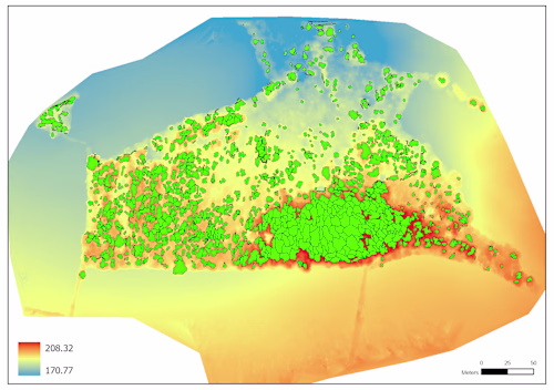
Example work
Sunbeam's other services
Contact for pricing
Duration1 week
Tags
Esri
geospatial analysis
hyperspectral
lidar
multispectral
photogrammetry
remote sensing
SAR
spatial data science
Service provided by
Sunbeam Rahman Calgary, Canada
- 1
- Followers
One stop remote sensing solutionsSunbeam Rahman
Contact for pricing
Duration1 week
Tags
Esri
geospatial analysis
hyperspectral
lidar
multispectral
photogrammetry
remote sensing
SAR
spatial data science
Get help with forest & vegetation analysis, wetland mapping, disaster risk, climate impact modeling, urban spatial analysis, and similar other topics.
I am an expert in spatial analysis, remote sensing, and GEOBIA with 12+ years of experience based in Calgary. I have an MGIS from the University of Calgary, Alberta, and an MSc in Geography.
I have extensive experience in topics, including (but not limited to)
Advanced Remote Sensing: Multispectral/ hyperspectral/ radar/ point-cloud data processing for forest, agri, wetland, and urban ecosystems using desktop (ie, ArcGIS, Erdas Imagine, eCognition, etc.) and cloud-based environments (ie, GEE)
Spatial scripting: Python (ArcPY, GeoPandas, Rasterio, Xarray, etc.), R (sf, tidyverse), and Google Earth Engine
Enterprise GIS, dashboard automation, and Web GIS: Esri ArcGIS Enterprise (ArcGIS Server and Portal management, Survey123), AGOL, Experience builder
Technical writing: Technical reports, manuals, blogs, and tutorials.
Why should you hire me?
Experienced observations and quick delivery
Prompt feedback and support tailored to the individual client
Customized work packages and consultation
Example work
Sunbeam's other services
Contact for pricing