
GIS and Remote Sensing ConsultingMartin chege

Provided expert GIS and remote sensing consulting to design, develop, and process spatial data.
What's included
Process the data using once of the following softwares to make data insights
I provide the following services:
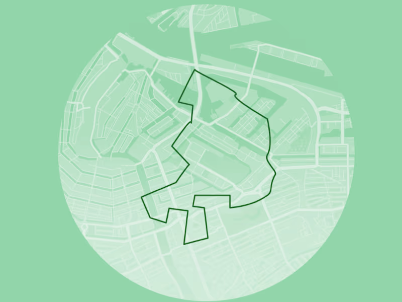
Map Digitization from Raster to Vector format
Convert kml, shp, dwg, dfx, gps
Merge/Buffer
NDVI, SAVI,ENVI, and other indices
Google Earth Mapping
Spatial Database Management
Contour maps
Digital Elevation Model
Base maps as per client requirement
Any type of Spatial Analysis
Road or Land Use maps
Any type of remote sensing outputs
Incorporation of Charts, graphs and analysis in maps
Info-graphic maps
Georeferencing
For Preparing maps I can use different types of GIS software's as per client requirements-
ArcMap
ArcGIS pro
QGIS
Super Map
ERDAS IMAGINE
Google Earth Pro
GeoMedia
ENVI
Martin's other services
Contact for pricing
Tags
MATLAB
pandas
RStudio
Tableau
Data Analyst
Data Modelling Analyst
Data Scientist
Service provided by
Martin chege Kenyatta Road, Kenya
GIS and Remote Sensing ConsultingMartin chege
Contact for pricing
Tags
MATLAB
pandas
RStudio
Tableau
Data Analyst
Data Modelling Analyst
Data Scientist
Provided expert GIS and remote sensing consulting to design, develop, and process spatial data.
What's included
Process the data using once of the following softwares to make data insights
I provide the following services:
Map Digitization from Raster to Vector format
Convert kml, shp, dwg, dfx, gps
Merge/Buffer
NDVI, SAVI,ENVI, and other indices
Google Earth Mapping
Spatial Database Management
Contour maps
Digital Elevation Model
Base maps as per client requirement
Any type of Spatial Analysis
Road or Land Use maps
Any type of remote sensing outputs
Incorporation of Charts, graphs and analysis in maps
Info-graphic maps
Georeferencing
For Preparing maps I can use different types of GIS software's as per client requirements-
ArcMap
ArcGIS pro
QGIS
Super Map
ERDAS IMAGINE
Google Earth Pro
GeoMedia
ENVI
Martin's other services
Contact for pricing